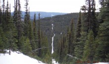


With the arrival of winter it was time to get back out into the field. This year we spent two weeks in snowshoes deploying trail cameras across the range of four caribou populations: Narraway, RedRock-Prairie Creek, Little Smoky and A la Peche. The cameras were set up on seismic lines that were surveyed during our last two summer field seasons. The aim of our winter surveys is to gather information about animal and human activity on seismic lines, and how this is affected by the level of regeneration on the seismic lines. The photos captured will help us determine what height of vegetation deters or promotes human, ungulate and predator activity.
A new element was also added to the project this year. Marked survey stakes were set up in the cameras view so that snow depth over the course of the winter could be recorded. This will give us an idea on the affect of snow depth on activity, vegetation growth and various other factors on these seismic lines.
Cameras will stay in the field until the spring, with a subset remaining in place all summer – periodic checks (~3months) will allow us to collect data during the winter while minimising snow packing along these linear features.
Thanks to the fRI Grizzly Bear Program for loaning us their trail cameras while their study species are hibernating.
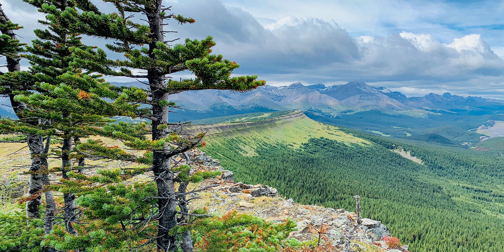
Below are some photos from the field.
Gallery