


Abstract
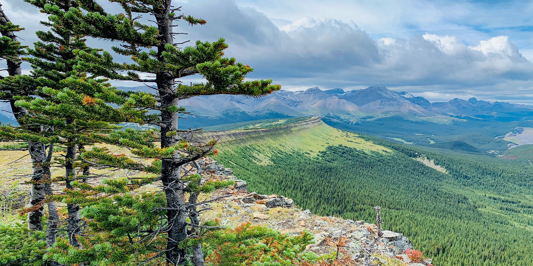
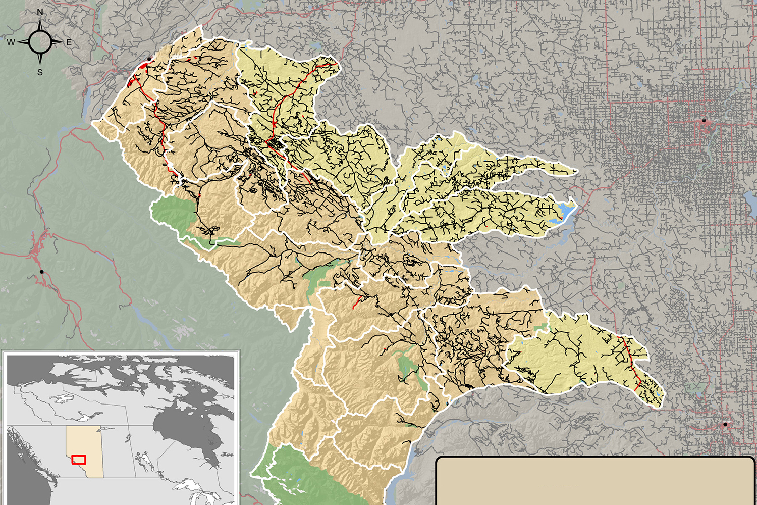
Accurate and current road network data is fundamental to land management and emergency response, yet challenging to produce for unpaved roads in rural and forested regions using traditional cartographic approaches. Automatic extraction of roads from satellite imagery using deep learning is a promising alternative gaining increasing attention, however most efforts have focused on urban paved roads and used very high spatial resolution imagery, which is less frequently available for rural regions. Additionally, road extraction routines still struggle to produce a fully-connected, vectorized road network. In this study covering a large forested area in Western Canada, we developed and evaluated a routine to automatically extract unpaved road pixels using a convolutional neural network (CNN), and then used the CNN outputs to update a pre-existing government road network and evaluate if and how it would change. To cover the large spatial extent mapped in this study, we trained the routine using moderately high-resolution satellite imagery from the RapidEye constellation and a ground-truth dataset collected with smartphones by organizations already operating and driving in the region. Performance of the road extraction was comparable to results achieved by others using very high-resolution imagery; recall accuracy was 89–97%, and precision was 85–91%. Using our approach to update the pre-existing road network would result in both removals and additions to the network, totalling over 1250 km, or about 20 % of the roads previously in the network. We discuss how road density estimates in the study area would change using this updated network, and situate these changes within the context of ongoing efforts to conserve grizzly bears, which are listed as a Threatened species in the region. This study demonstrates the potential of remote sensing to maintain current and accurate rural road networks in dynamic forest landscapes where new road construction is prevalent, yet roads are also frequently de-activated, reclaimed or otherwise not maintained.
Read this open-access article online.
Citation
Kearney, S. P., Coops, N. C., Sethi, S., & Stenhouse, G. B. (2020). Maintaining accurate, current, rural road network data: An extraction and updating routine using RapidEye, participatory GIS and deep learning. International Journal of Applied Earth Observation and Geoinformation. 87:102031. 2020. doi:10.1016/j.jag.2019.102031
