


Abstract
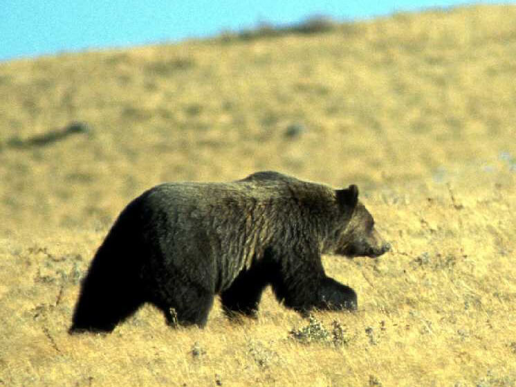
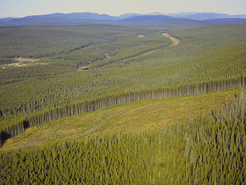
Mapping and quantifying the area and type of disturbance within forests is critical for sustainable forest management. Grizzly bear (Ursus arctos) have large home ranges and diverse habitat needs and as a result, information on the extent, type, and timing of disturbances is important. In this research we apply a remote-sensing-based disturbance mapping technique to the southeastern extent of a grizzly bear range. We apply a data fusion approach with MODIS 250 m and Landsat 30 m spatial resolution imagery to map disturbances biweekly from 2001–2011. A regression tree classifier was applied to classify the disturbance events based on spatial and temporal characteristics. Fire was attributed as a disturbance based on a national fire database. Results indicate that across the 130,727 km2 study area, 4,603 km2 of forest were disturbed over the past decade (2001–2011), impacting 0.35% of the study area annually. Overall, 68.7% of the disturbance events were attributed to forest harvest, followed by well sites 13.4%, fires 9.3% and road development, 8.6%. Primary source habitat contained 3.8% of disturbed land, and primary sink areas had 5.9% disturbed land. Our findings quantify habitat change, which can aid managers by identifying significant areas for grizzly bear conservation.
Access the full article here (subscription required).
Citation
White, C. F. H., Coops, N. C., Nijland, W., Hilker, T., Nelson, T. A., Wulder, M. A., Nielsen, S. E., & Stenhouse, G. (2014). Characterizing a Decade of Disturbance Events Using Landsat and MODIS Satellite Imagery in Western Alberta, Canada for Grizzly Bear Management. Canadian Journal of Remote Sensing, 40(5), 336–347. doi:10.1080/07038992.2014.987082