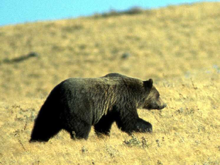


Abstract
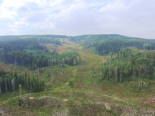
Wildlife habitat selection is determined by a wide range of factors including food availability, shelter, security and landscape heterogeneity all of which are closely related to the more readily mapped landcover types and disturbance regimes. Regional wildlife habitat studies often used moderate resolution multispectral satellite imagery for wall to wall mapping, because it offers a favourable mix of availability, cost and resolution. However, certain habitat characteristics such as canopy structure and topographic factors are not well discriminated with these passive, optical datasets. Airborne laser scanning (ALS) provides highly accurate three dimensional data on canopy structure and the underlying terrain, thereby offers significant enhancements to wildlife habitat mapping. In this paper, we introduce an approach to integrate ALS data and multispectral images to develop a new heuristic wildlife habitat classifier for western Alberta. Our method combines ALS direct measures of canopy height, and cover with optical estimates of species (conifer vs. deciduous) composition into a decision tree classifier for habitat – or landcover types. We believe this new approach is highly versatile and transferable, because class rules can be easily adapted for other species or functional groups. We discuss the implications of increased ALS availability for habitat mapping and wildlife management and provide recommendations for integrating multispectral and ALS data into wildlife management.
Access the full paper (with subscription) here.
Citation
Nijland, W., Coops, N. C., Nielsen, S. E., & Stenhouse, G. (2015). Integrating optical satellite data and airborne laser scanning in habitat classification for wildlife management. International Journal of Applied Earth Observation and Geoinformation, 38, 242–250. doi:10.1016/j.jag.2014.12.004