


Article published in The Forestry Chronicle. Citation and abstract only.
Abstract
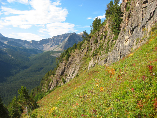
Two input maps based on Alberta Vegetation Inventory (AVI) data and Landsat satellite imagery were generated for use in a fragmentation analysis of a large area in the Alberta Yellowhead Ecosystem to support long-term grizzly bear habitat analysis. Accuracy was assessed using visual interpretation of classes on digital orthophotography. Approximately 45% map accuracy was obtained after applying a generalization procedure to the available AVI GIS database. Approximately 80% map accuracy was achieved used a supervised classification approach applied to the Landsat image. Differences in accuracy were most apparent in non-treed vegetation classes (e.g., shrub), closed conifer, mixedwood and deciduous forest classes. Very large differences were observed in many of the landscape metrics computed from these two maps to quantify landscape structure. Simulating forest changes on these maps illustrated the difficulty of comparing maps generated with different geospatial technologies.
Read the full article here.
Citation
Franklin, S. E., Hansen, M. J., & Stenhouse, G. B. (2002). Quantifying landscape structure with vegetation inventory maps and remote sensing. The Forestry Chronicle, 78(6), 866–875. doi:10.5558/tfc78866-6