By Dan Wismer, GIS Analyst

Fall 2021 update: This functionality was built into the Caribou Webtools. You can explore those with this Story Map.
Habitat disturbance and increased predation are the main threats to woodland caribou. Habitat disturbance includes forest harvesting, oil and gas activity, mineral extraction and convoluted seismic line & road networks. Young forest created by habitat disturbance attracts species such as moose and deer, which in turn increases the number of predators like wolves in caribou ranges, increasing predation rates of caribou.

In 2012, the Government of Canada released the Recovery Strategy for Woodland, Boreal Population in Canada. This report defined a management threshold of 65% undisturbed habitat in boreal caribou ranges. This minimum threshold provides a 60% probability for a local population to be self-sustaining.
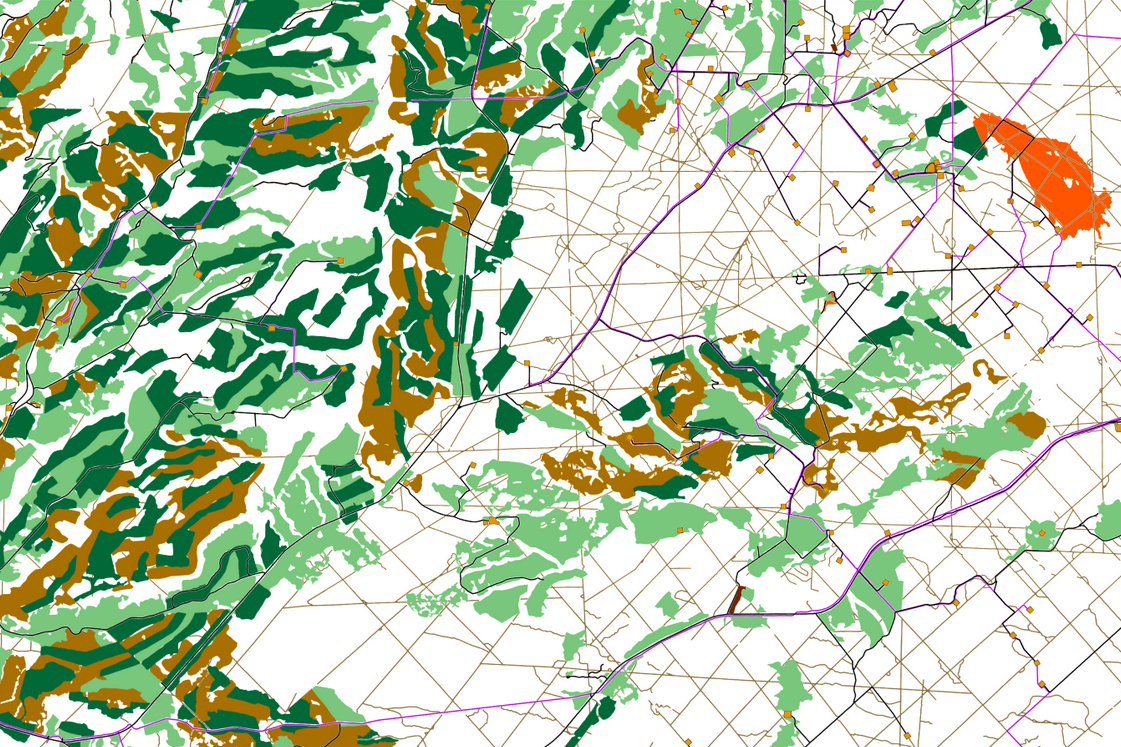
The Caribou and GIS programs teamed up and developed a new planning tool designed to map disturbance and run restoration scenarios to find a path to 35% disturbance. The Caribou Habitat Disturbance Tool is built for running scenarios for the Little Smoky range, located in West-Central Alberta. Currently, this range is close to 95% disturbed.
The tool allows for users to draw an area to restore directly on the base map, or upload a predefined shapefile boundary.

Once an area to restore has been defined, the user can pick which footprint features they want to erase and run the tool.

After completion, the new disturbance scenario is mapped and plotted.

The primary goal of The Habitat Disturbance Tool is to provide a means to explore footprint data and run scenarios for range planning to meet or exceed the disturbance management threshold. With user feedback and additional funding, we plan to extend the tools functionality to capture more complex restoration scenarios and scale the application to other herds in Alberta.
Users can access the tool here and send feedback.