


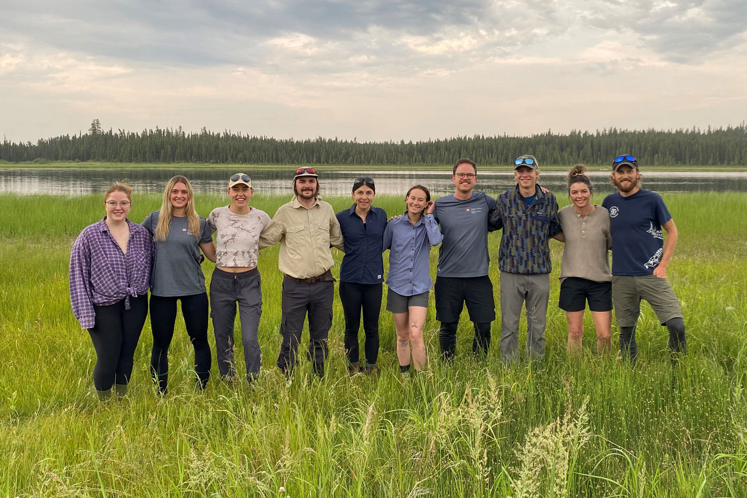
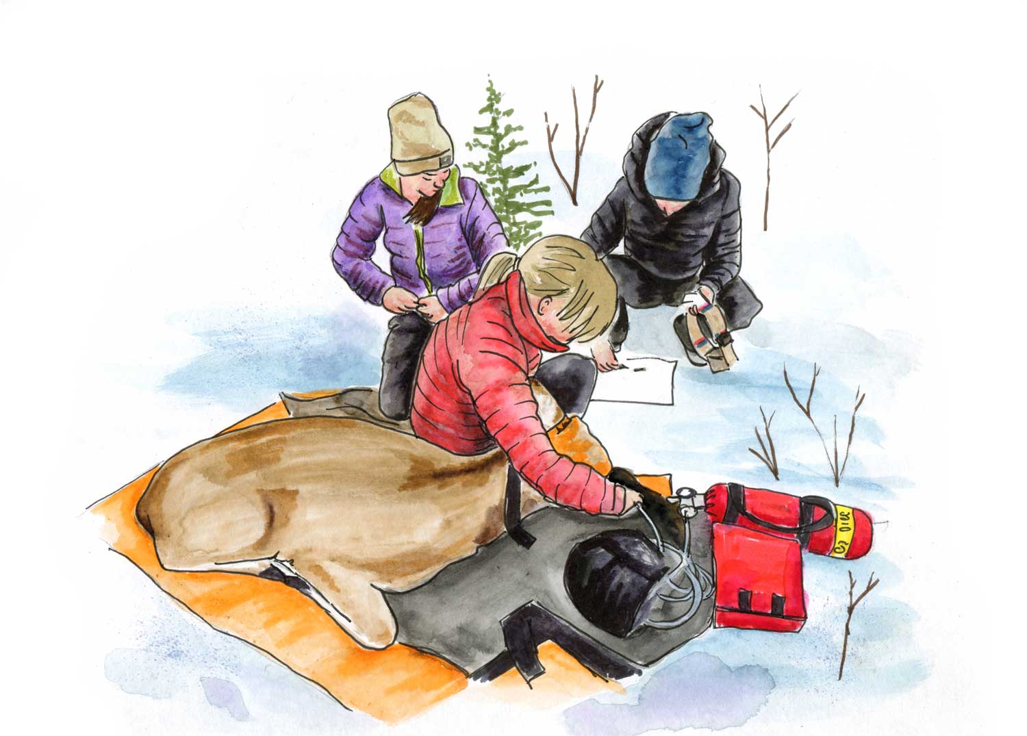
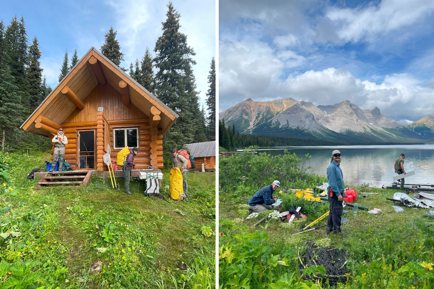
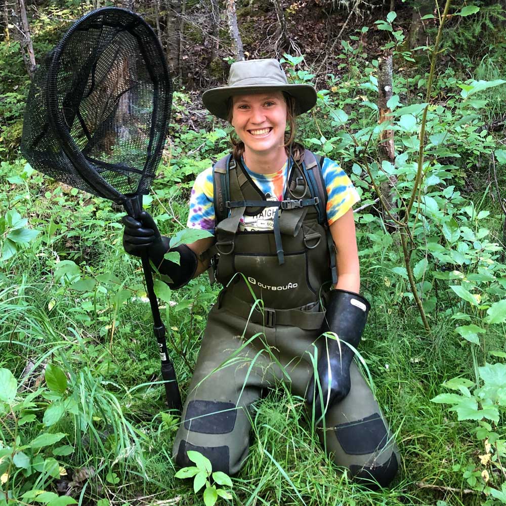
Water and Fish Program
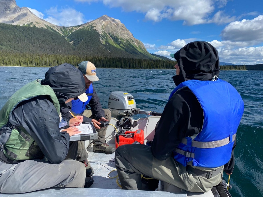
Many interconnected human and natural disturbances influence Alberta’s water and fish. Termed cumulative effects, the goal of the Water and Fish Program is to quantify these factors and work with government, industry, land owners, and NGOs to minimize impacts. Through collaboration, the Water and Fish Program’s data and learnings can be used to implement and monitor recovery actions, which will lead to improved water quality and the recovery of native fishes.
Research Themes
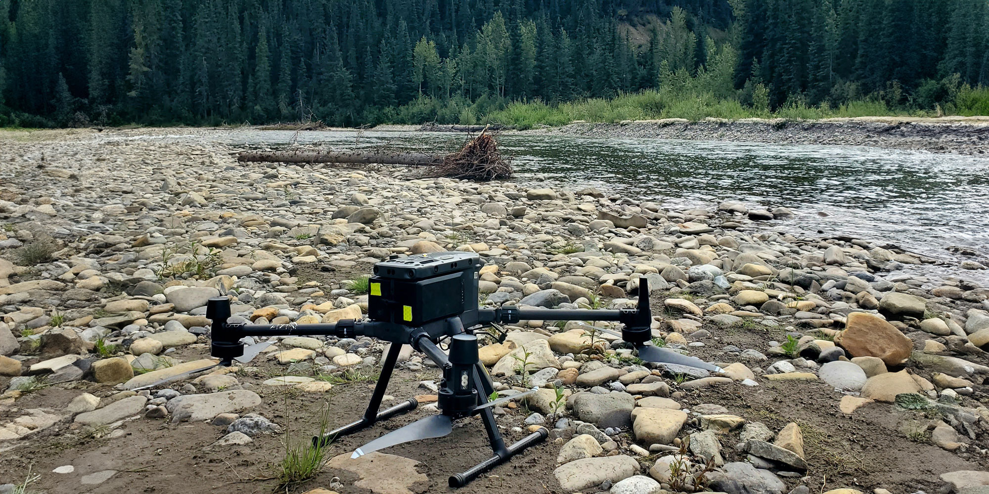
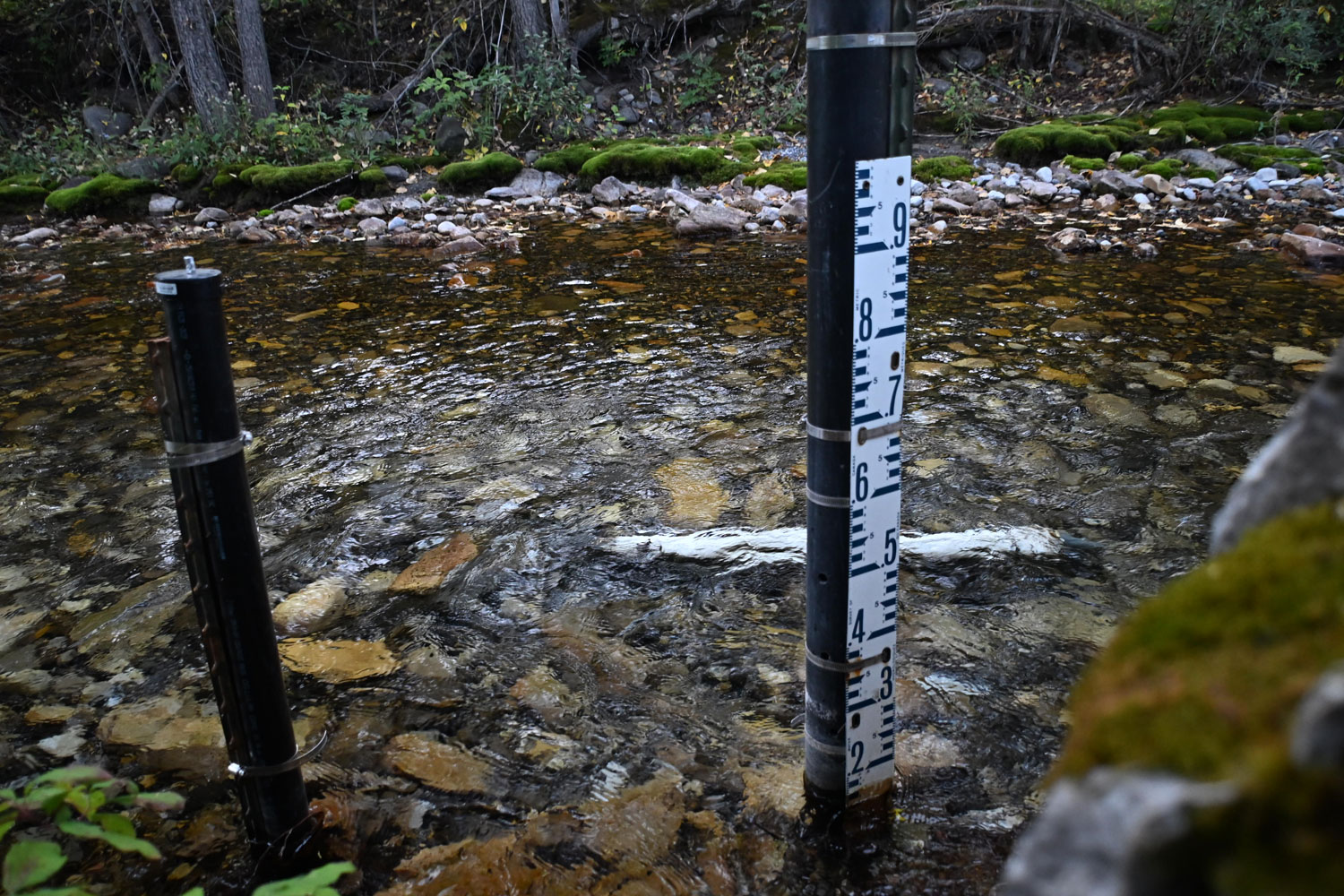
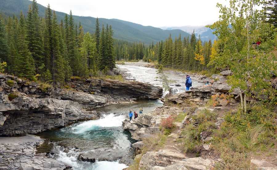
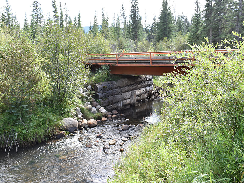
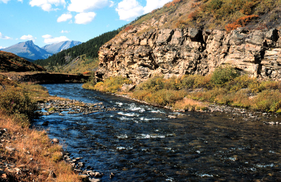
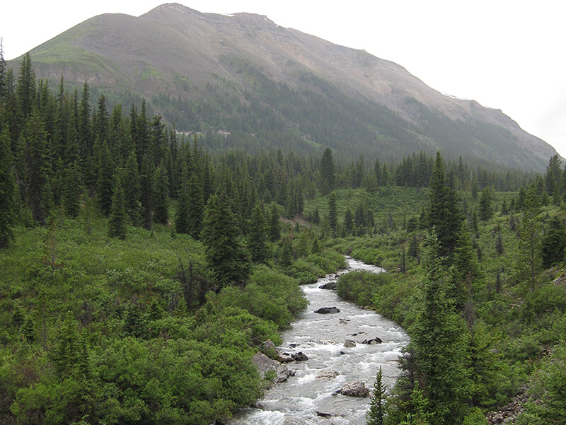
Stream temperature monitoring
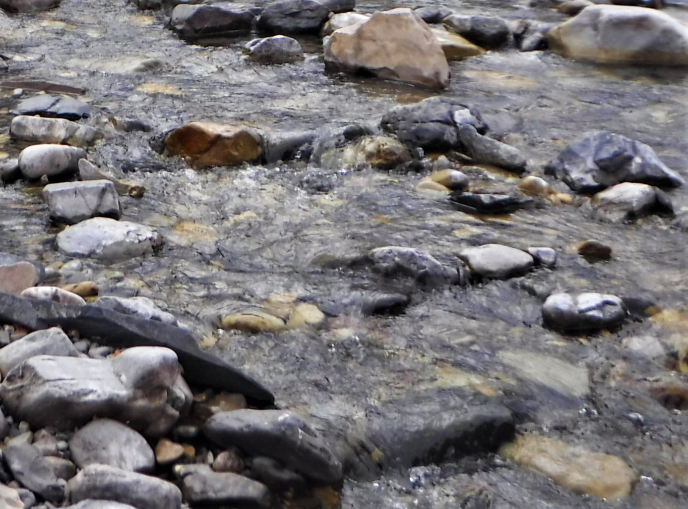
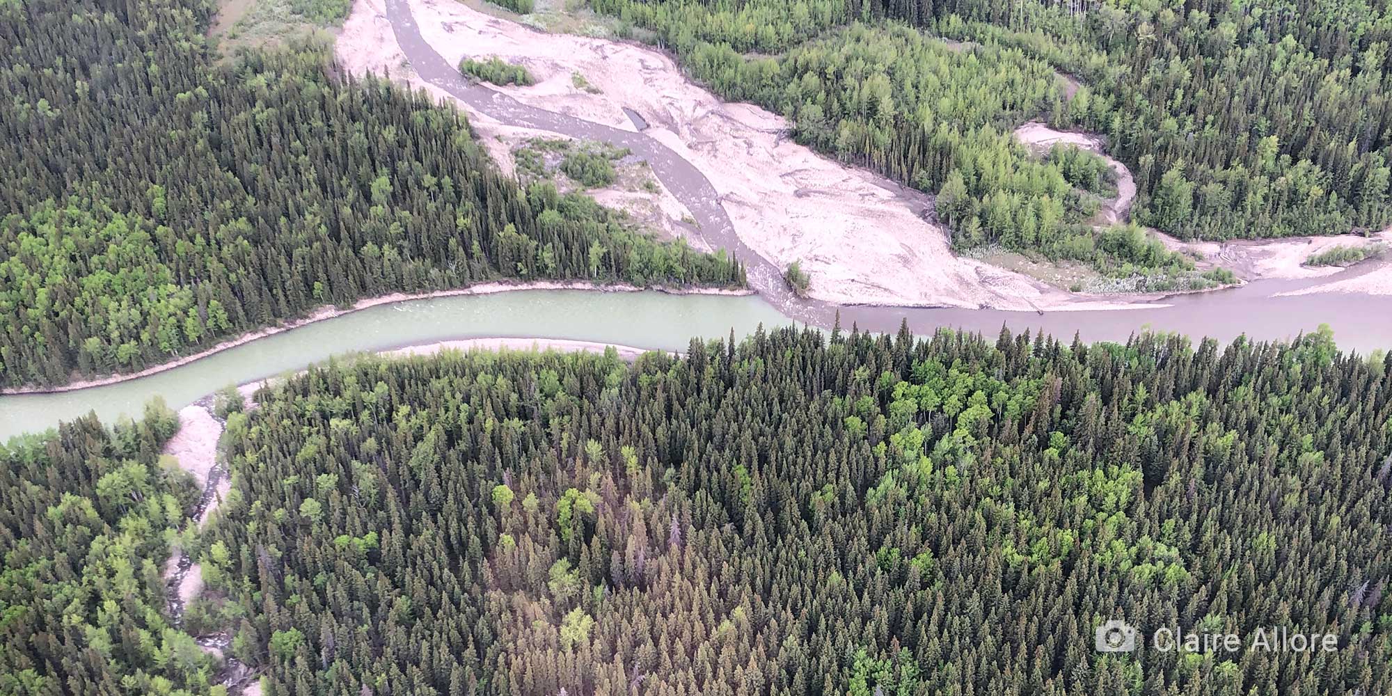
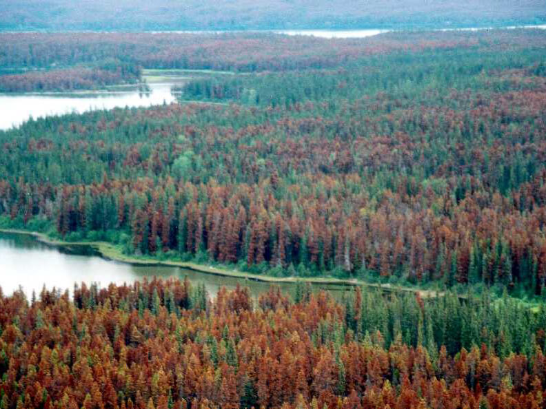
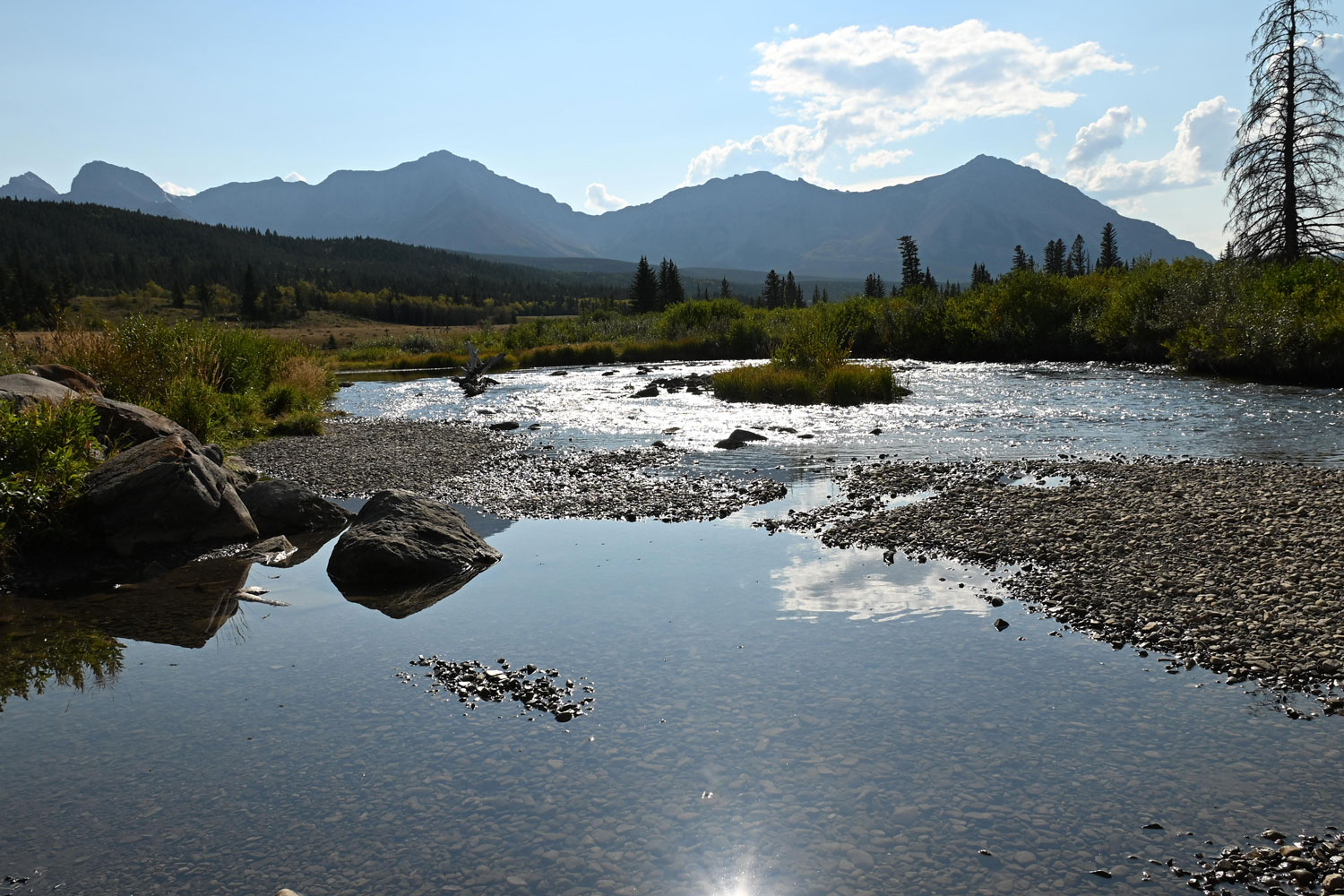
For cold water species like native salmonids, temperature plays a critical role in available habitat to complete life cycles. The presence of climate change and increased landscape impacts poses a risk to cold water habitat and the species present. To determine differences in temperature and potential risks among watersheds we are collaborating with partners to collect and model temperature along the Eastern Slopes of Alberta.
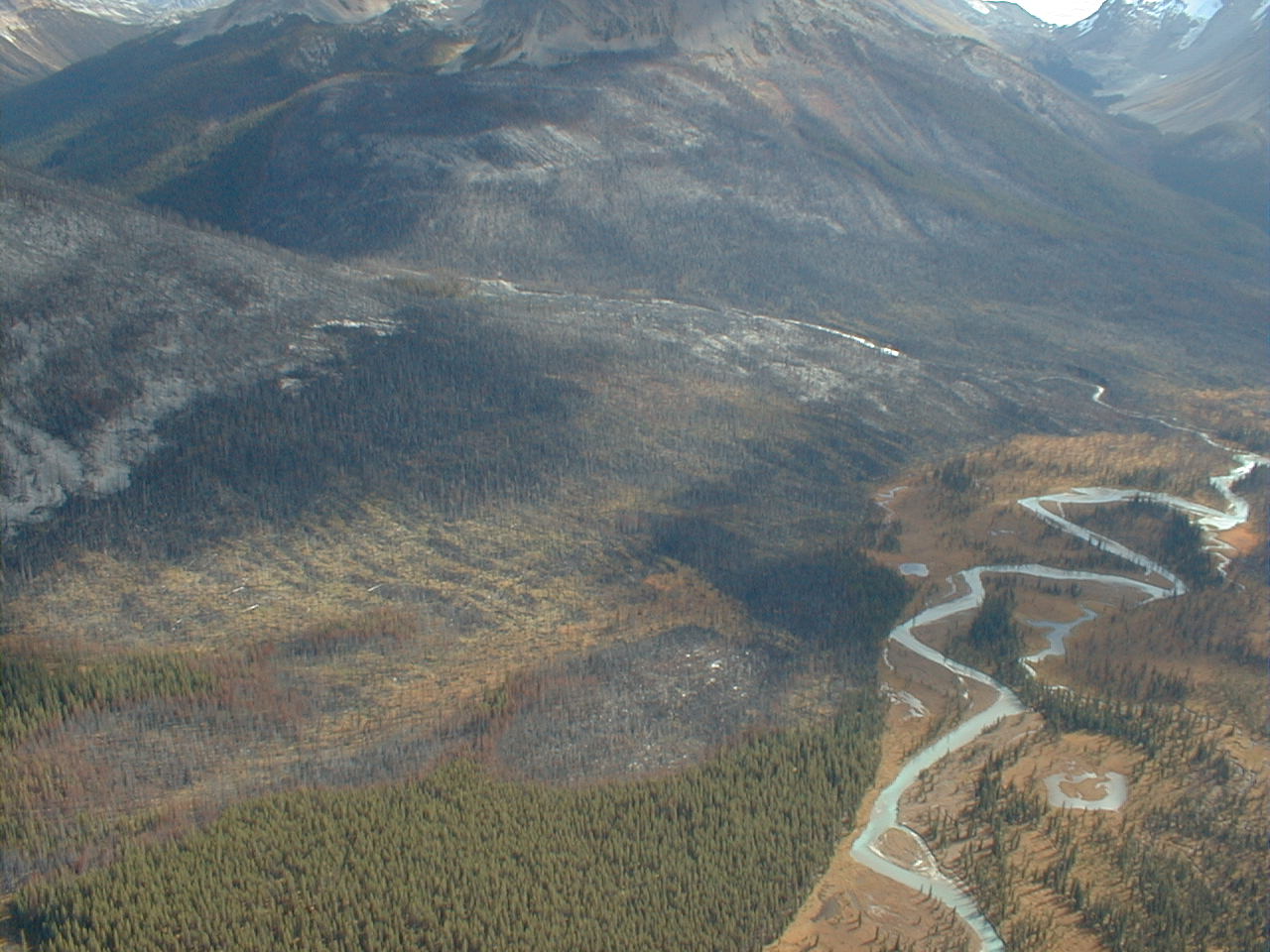
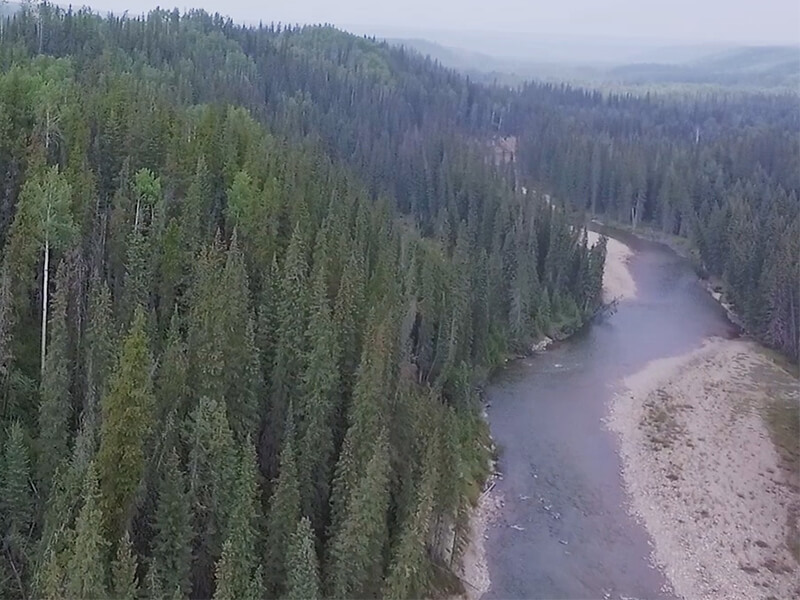
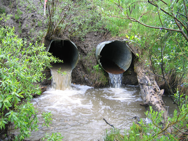
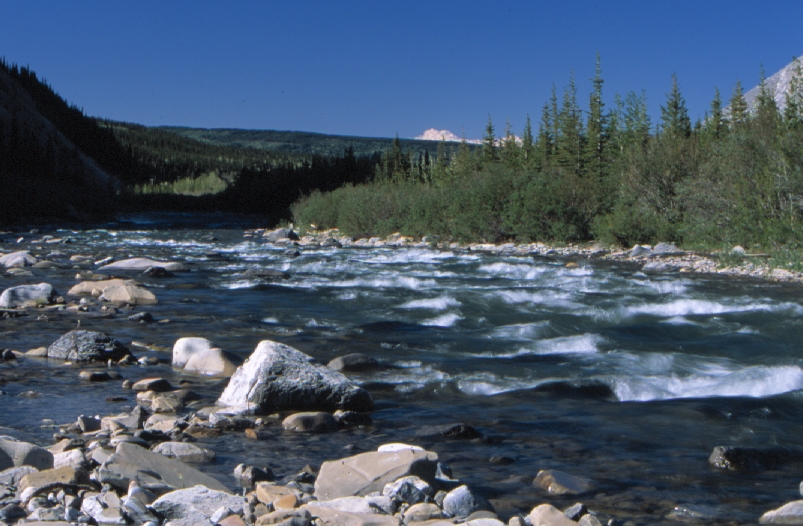
Land use impacts
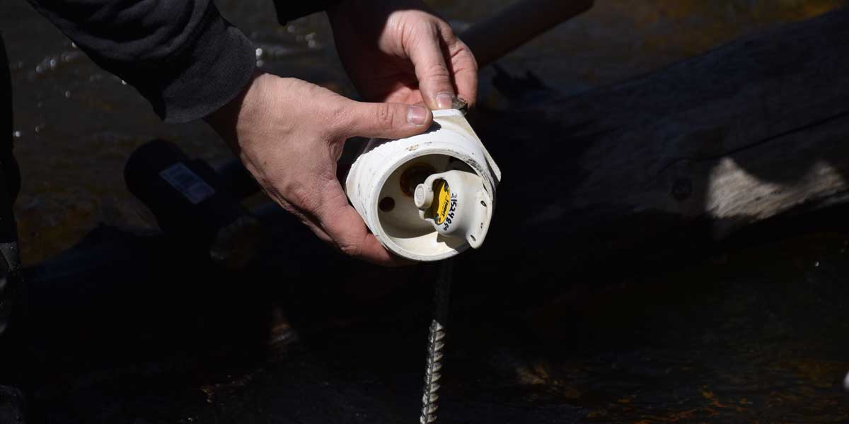
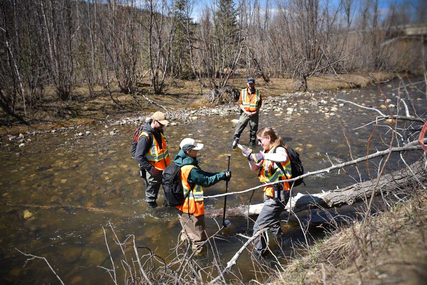
To quantify the effects of various land use practices on aquatic species, we implement standardized sampling events and compare data with spatial information. Results from these studies shed light on factors influencing aquatic species.


C
N
R
When Dr. Benjamin Kissinger became the Water and Fish Program Lead, he continued his roles as academic advisor to several research projects at the University of Calgary, where he is an Adjunct Assistant Professor. These are the projects which Dr. Kissinger serves as a supervisor or committee member.
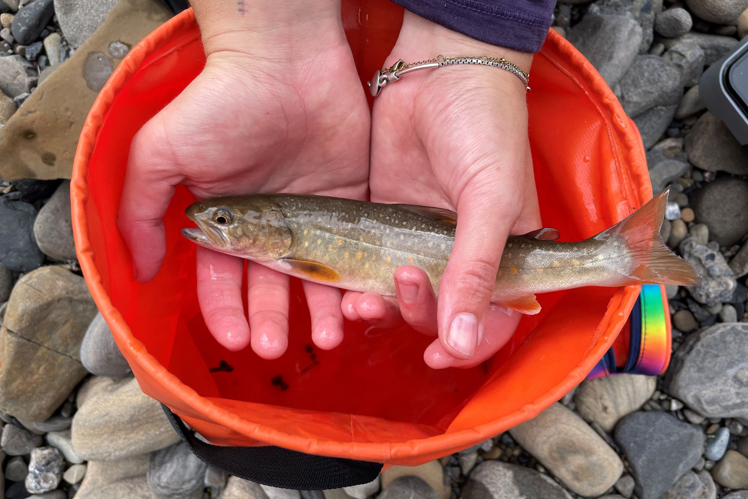
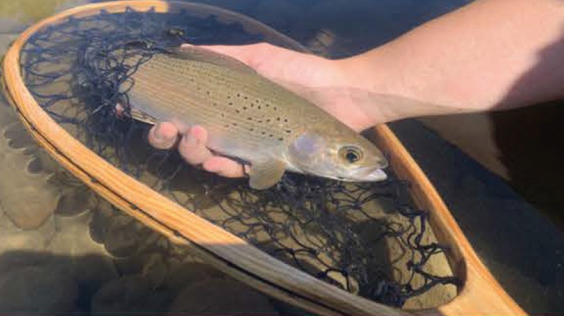
Investigating the Extent of Hybridization between Native Bull Trout and Introduced Brook Trout in Alberta
This is the MSc project of Emily Franks (University of Calgary), with funding through the Government of Alberta Office of the Chief Scientist. Brook trout were introduced into Alberta’s watersheds and compete with native bull trout, a threatened species. This study quantified the extent of hybridization between bull trout and brook trout in various Alberta populations. By understanding which populations have a high proportion of hybrids (especially back-crossed hybrids), the Franks and the team were able to determine which populations may be in imminent need of attention. Franks successfully defended her thesis in December 2024. Read it here.
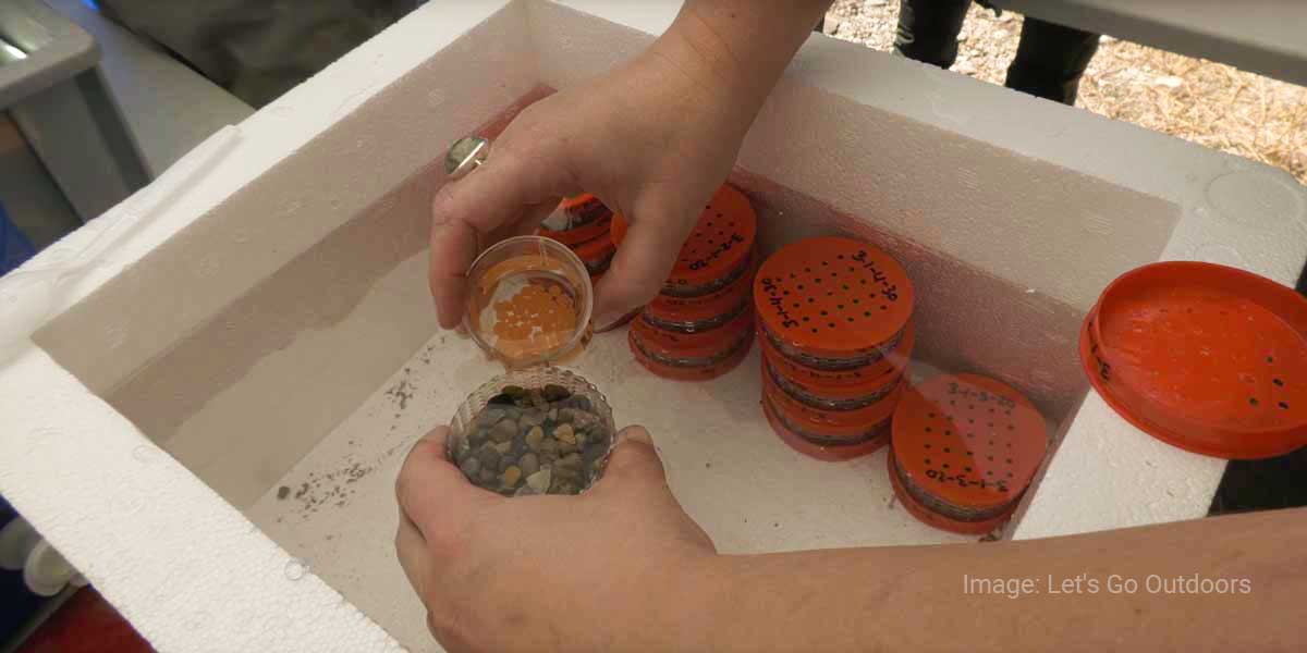
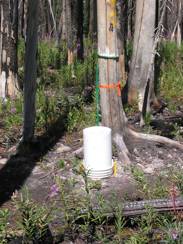
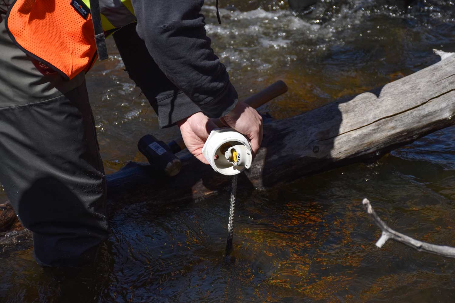
An Experimental Test of the Potential for Bull Trout Conservation Translocations, via Instream Incubation Capsules, in Alberta
Tara Lepine is testing a new way to translocate bull trout. Instead of moving individual, live fish from one location to another, Lepine is planting capsules of fertilized bull trout eggs in the streambeds of the the the locations they want to supplement or restore. The main goal is to find out how well this method works and see if stream temperature affects egg survival. The crew harvested, fertilized, and transplanted the eggs in 2023. The incubation capsules will be retrieved immediately after ice-off in 2024. This is part of the Alberta Native Trout Collaboration. Learn more about the project in this video from Let’s Go Outdoors.