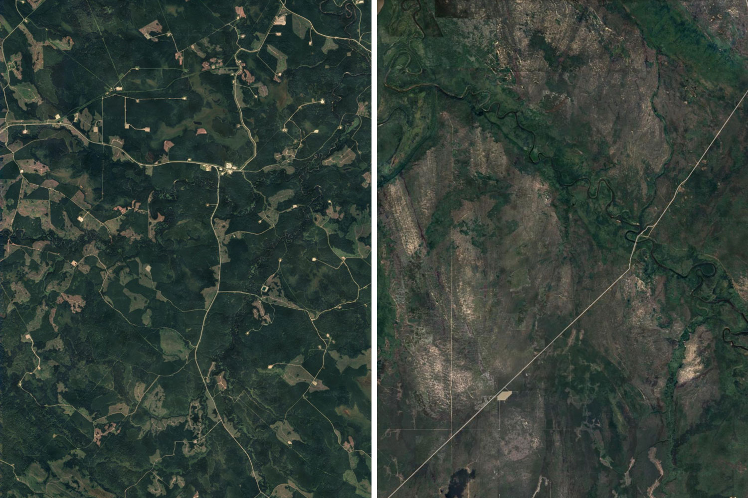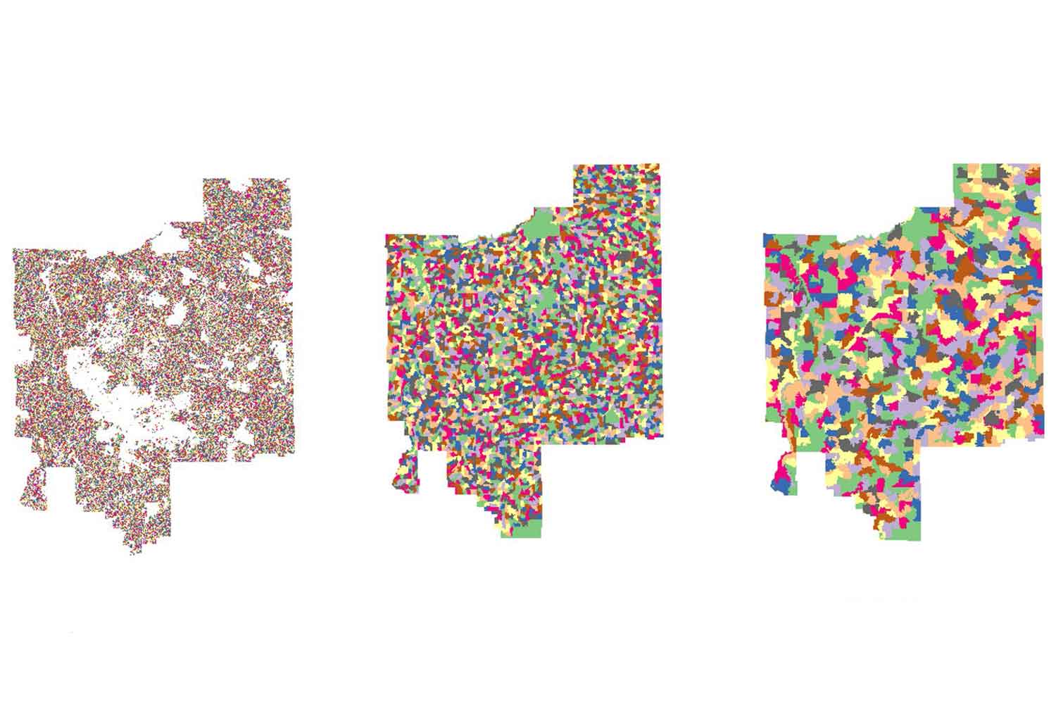
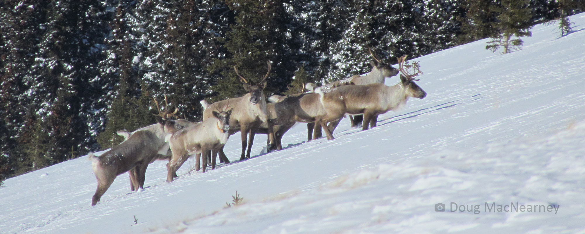
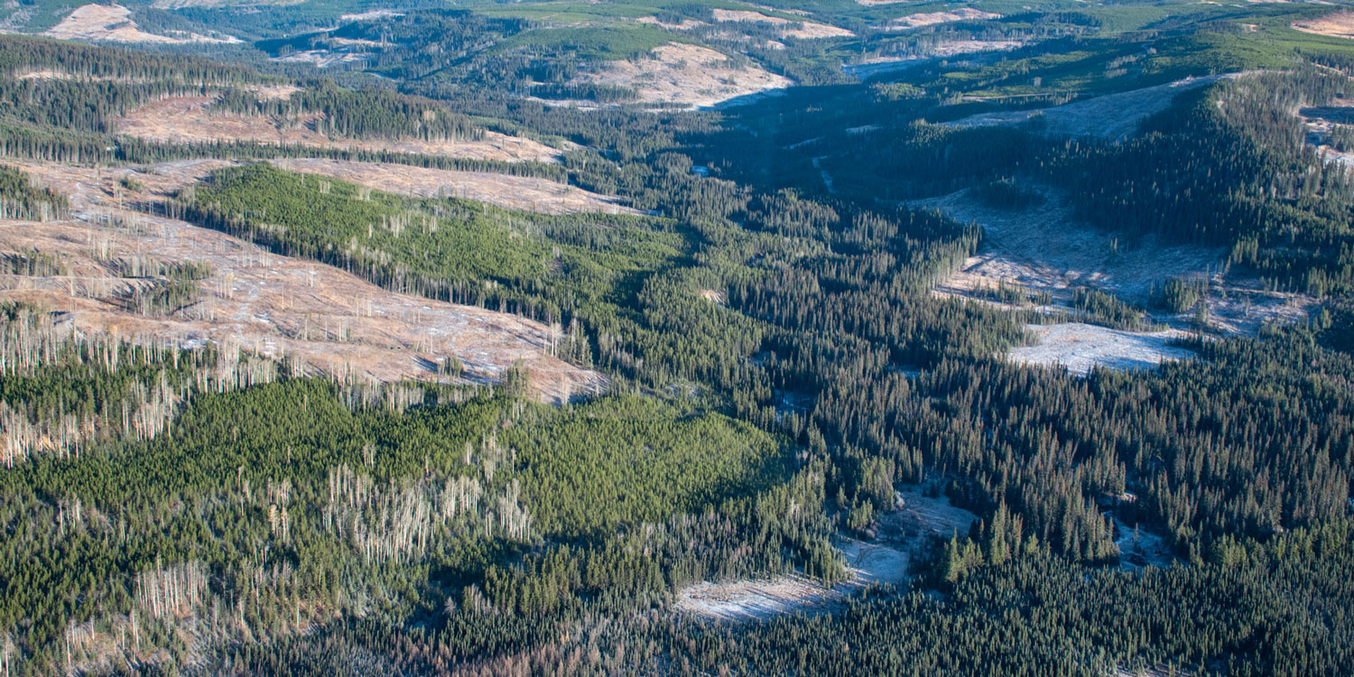
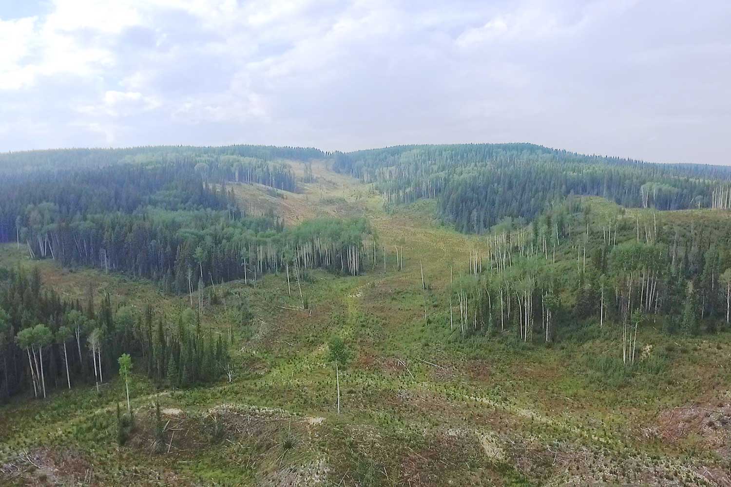
Abstract: The objective of this project was to obtain a better understanding of if, or to what degree spatial clustering of anthropogenic disturbance events is possible to create on the ground and the potential impacts on caribou habitat and overall ecosystem health. Using Mother Nature as a guide, we started by revealing a critical gap in the typical coarse-filter indicator regime for the boreal forest that fire size is often assumed to cover. We addressed this gap by exploring the pattern of wildfires over space and time at intermediate or meso-scales and developing a set of new indicators using a 10,000 grid. We used that grid and those indicators to develop a new management planning strategy. The WHERE-WYN strategy pairs the idea of aggregation (i.e., WHERE you are) with the idea of temporal deferral zones (i.e. WYNs – Where You are Not). In terms of modelling, we developed and tested a new PatchworksTM tool that creates a second level of aggregation using rules based on similarity, size, and shape. The new compartment tool also allows the model to run much faster. All of these new indicators, strategies and tools were tested in the Patchworks scenario planning model on three different study areas in Alberta with embedded caribou ranges. We also tested the impact of lowering harvesting age thresholds, ECA requirements, and even-flow requirements. Given the innovative nature of these components and how they interact, this project focused more on learning than it did identifying specific (management) solutions. In general, the use of the new compartment tool, the inclusion of WYNs, relaxing even-flow requirements and lowering age thresholds created healthier landscapes that were more caribou friendly over the long term, although there were some trade-offs with harvest volume. However, the success of each of the runs suggests that landscape condition, location, and human history was a key factor determining the degree to which aggregation was possible. But it was also clear that the best combination of new tools and strategies was different for each landscape.
Dr. David Andison began his Forestry career with the Ontario government after completing his BSc in Forestry. After eight years of fire and growth and yield research, David moved out to Vancouver to pursue his PhD in Landscape Ecology. Dr. Andison began his consulting career soon thereafter and has since specialized in exploring and developing EBM (Ecosystem-Based Management) tools and knowledge. His research focuses largely on fire history, and his other interests include simulation modelling, helping to design biodiversity monitoring programs, developing new tools for forest managers, and providing advice and expertise to a wide range of local, provincial and national teams. He is currently the architect and Program Lead for the Healthy Landscapes Program at fRI Research, although his other work takes him to BC, Saskatchewan, NWT, Manitoba, Ontario and Nova Scotia. David is an Adjunct Professor at UBC Forestry and U of A working with a wide range of academics, research associates, post-docs, and graduate students.