


Kevin Myles, a GIS Analyst at fRI Research, completed the LiDAR Technology and Application course delivered by Penn State University World Campus in May 2014. This 3-month intensive course required 15-20 hours of work time per week and included online discussions, reading assignments, lab exercises and assignment deliverables. Completion of the course required a final report and presentation on the use of LiDAR for a local application of LiDAR from data acquisition to final analysis.
The online course content was accessed through a Penn State email account and host where the course requirements were broken into lessons such as “Introduction to LiDAR”, “Forestry Applications” etc. Online discussions were open to students and the instructor to pose questions or examples as needed. Live conversations were scheduled once per week through Adobe Connect allowing students and the instructor to ask and answer questions or to clear up any confusion. Software included an ArcGIS 10.2 student License and the LP360 toolbar from QCoherent (also a student version).
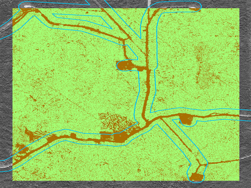
Some of the high points of the course included producing LiDAR derived products such as digital elevation models (DEM) and tree height rasters. The final presentation folded all of the learnings from previous lessons into a real life scenario. The LiDAR Point Cloud data for a local study area was provided through a memorandum of understanding with the Alberta Sustainable Resource Development (ESRD) resource information branch. The project included a terrain analysis of local recreational trails which was presented live to class members and the instructor.
Some of the difficulties with the course included the use of a supplemental tool to complete many of the course objectives. While the tool may have completed task more efficiently, the student-only availability left a gap between the classroom and the workplace where the tool is not available. Another difficulty included some of the hiccups apparent in online learning, especially in respect to technical difficulties. Software updates, versioning problems and data storage requirements resulted in on the fly changes in the curriculum.
Overall the course was beneficial for a deeper understanding of LiDAR and how it can be used in the workplace, allowing for enhanced analysis, additional tools to solve problems and base imagery products for cartography. This course serves as an excellent prerequisite for further training in LiDAR technology and application.