


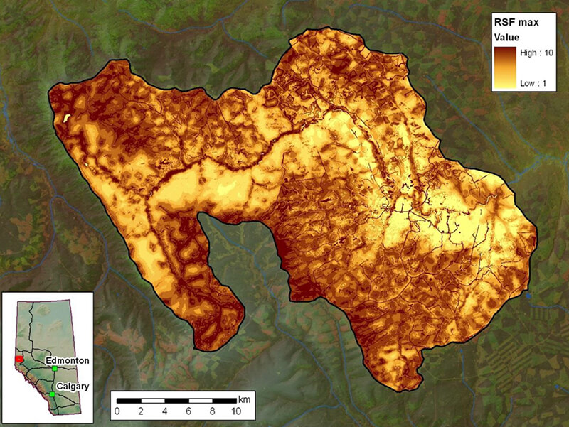
The Grizzly Bear Tools (GBtools) are a series of geoprocessing tools developed by fRI for use with ESRI’s ArcInfo/Advanced GIS software package, with the Spatial Analyst extension, that are intended to assist in analyzing grizzly bear habitat and to help inform decision making in support of grizzly bear conservation.
The tools and underlying data are currently being updated by the GIS Program for use with ArcGIS 10.0 (and newer) for Desktop Advanced and expected to be completed by May 2015.
The first version of the tools were delivered in Spring 2007 and can be used to:
- update habitat maps to maintain their currency in a rapidly changing landscape;
- forecast the effect of a development scenario on habitat quality; and
- compare quantitatively, the relative impact of multiple scenarios.
Along with being used by the Grizzly Bear Program, the tools and data are also shared with contributing partners, allowing them to input their own scenarios for analysis.
For more information about accessing GBtools, contact the fRI Research Grizzly Bear program.