Determining How Bears Use Gated Roads
Do gated roads protect bears from vehicle traffic?
More roads in grizzly bear habitat lead to more human-caused grizzly bear mortality. In an attempt to reduce these mortalities, there is an emphasis on controlling access to some roads in order to reduce the number of open roads density in Alberta’s forests. This project determines whether bears will recognize that it is safer and spend more time on roads behind gates.
Access management (gates or bridge and road removal) is increasingly being used as a strategy to mitigate the ecological consequences of roads. Although the consequences of roads are diverse and influence many ecological processes, increased mortality is arguably the single greatest threat facing wildlife populations. Grizzly bears are a species that are particularly sensitive to human activity and access, given that roads often lead to a decrease in survival potential both from direct (vehicle collisions) or indirect (legal or illegal harvest, self defense) effects. For this reason, access management strategies are often recommended within recovery plans, which may include limiting road development, establishing seasonal road closures, creating barriers to impede vehicle traffic on roads, or reclaiming the roads completely.
In Alberta, reducing human-caused grizzly bear mortality risk is an essential step in the recovery and long-term conservation of the provincial population. Although grizzly bear mortalities occur for many reasons, research in Alberta suggests that there is a strong link between the number and density of roads, particularly associated with industrial development from the energy (mining, oil and gas) and forestry sectors, and reduced grizzly bear survival associated with elevated levels of mortality risk. Because controlling access and use is critical to grizzly bear recovery, strategies to date have largely focused on limiting road densities within habitats (core and secondary conservation areas) viewed as important to maintaining self-sustaining grizzly bear.
Access management is a contentious issue not easily resolved in a landscape with many stakeholder groups. Perhaps this is the reason why access control measures are applied in different ways across provincial bear management units in the province. Despite this challenge, there are access control features (gates) and other strategies (road decommissioning) that are being used in some grizzly bear conservation areas in west-central Alberta. Understanding how access management might influence grizzly bear habitat use is an important step towards developing mitigation strategies as well as determining how bears respond to this suggested management action.
In fall 2015, we surveyed primary and secondary (connected to major access routes and typically associated with forestry and energy sector development) access routes within the Yellowhead population unit, focusing our efforts within core and secondary grizzly bear conservation areas.
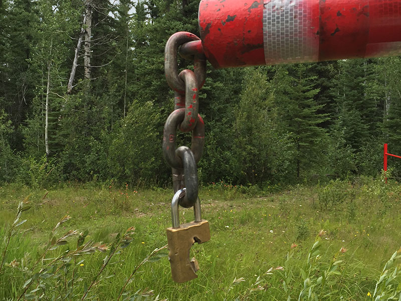
We mapped our survey effort and documented the location and condition of each gate encountered. A georeferenced map identifying primary, secondary, and decommissioned roads was used to navigate through the study area and conduct the inventory. We coded gates as locked or unlocked and then assigned each gate a land use activity (mining, forestry, and/or oil and gas) using signage, vector data (mine boundary), and raster data (Spot imagery). We only considered roads to be ‘gated’ if there were no other points of access for highway vehicles. We also identified other roads not associated with land use activities (gravel pits, parks, and airfield).
Primary and secondary access routes within grizzly bear habitat surveyed
1600 km of roads surveyed, locating 84 gates.
Analysis completed and report delivered to AUPRF


