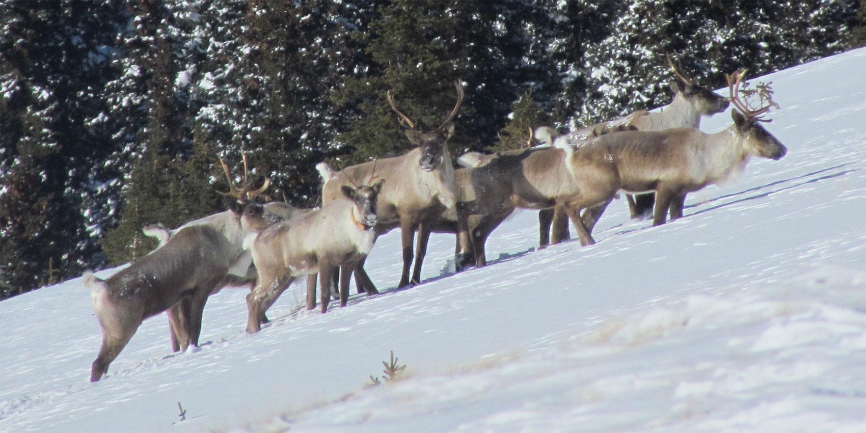
Identifying High Residency Habitat and Functional Movement Paths for Caribou in West-Central Alberta
The overall purpose of this project is to identify high-quality habitat and functional movement corridors for the Redrock-Prairie Creek, A La Peche, Narraway, and Little Smoky herds and provide the forest and oil and gas sectors with tools to evaluate and mitigate the potential impact of planned activities on the availability of habitat quality and landscape connectivity for caribou. In addition, this project will evaluate the potential utility of silviculture prescriptions as a restoration tool to increase caribou functional habitat.
Habitat quality (i.e. the capacity of habitat to meet the biological needs of caribou (food, survival, reproduction) and movement paths (i.e. the degree to which the landscape facilitates or impedes movement of caribou between habitat patches) are aspects of functional habitat that can strongly influence the health of caribou populations in terms of survival, reproduction and recruitment, and genetic connectivity. In light of the federal requirements, land-use managers that operate within caribou ranges are under pressure to develop mitigation strategies and undertake actions to ensure the persistence of caribou on the landscape. Informed decisions that minimize future negative impact of industrial activities on caribou, and maximize the benefits of restoration efforts will require further knowledge about current distribution of high-quality habitat where a reduction in industrial activity may result in high benefits for caribou populations, the potential effects of proposed industrial activities on the availability of high-quality habitat for caribou, historic areas of high-quality habitat that have high restoration potential in terms of habitat quality or movement paths, and the relative effectiveness of different silviculture approaches vs. natural regeneration for restoration of high-quality caribou habitat.
This research will allow land-use managers to plan for a unified and low-impact landscape for caribou, and guide restoration efforts to increase functional habitat and linkages for the persistence of caribou populations. This project demonstrates the commitment of land-use managers to actively maintain caribou viability within a shared working landscape and meet federal targets outlined in the boreal and southern mountain recovery strategies. The methods developed in this project will also be applicable across the range of caribou in Alberta.
Objectives
The three specific objectives of this project are to:
- identify high-quality habitat patches and functional movement paths,
- identify priority areas for restoration based on expected contribution, and
- provide tools to evaluate on-the-ground impacts of planned activities on the availability of high-quality habitat and landscape connectivity.
These will support four larger goals of the Caribou Program:
Conservation of biological diversity
This project proposes to manage the quality and distribution of wildlife habitat, contribute to the conservation of biological diversity, help protect a threatened and endangered species, and manage ecologically important sites by identifying patches of high-quality habitat for caribou, a keystone species, and by enabling land managers to mitigate their impact on high-quality habitat and connectivity corridors, thereby effectively enhancing biological diversity at the stand and landscape level. This research proposes to develop criteria and guide the implementation of practices towards the retention of stand-level wildlife habitat (i.e. areas with high-quality lichen patches) and landscape-level attributes (i.e. movement corridors).
Forestry research, science, and technology
This project enhances forestry research, science, and technology by investing in forestry-based research aimed towards sustainable forest management in support of sustainable forest programs. This research proposes to integrate biological data, forestry practices, and remote-sensing data into a GIS tool that will allow land managers to determine the impacts of industrial development to date, and the impact of subsequent stand regeneration on caribou movements and landscape connectivity, and use this information to spatially identify areas that are of high priority to re-establish/maintain connectivity via restoration, and evaluate the impacts of proposed and planned harvests and oil and gas development on the quality of caribou habitat and on landscape connectivity under a “business as usual” and alternate management scenarios.
Public land management responsibilities
This project will play an active role in the implementation of sustainable forest management on public lands by developing a tool that will aid land manager establish and maintain high-quality habitat and connectivity for caribou. Throughout the proposed research, we will maintain appropriate collaborations with local stakeholders and government.
Communications and public reporting
The proposed research will broaden awareness of wildlife and biological diversity for the public and the scientific community: The project status and milestones will be provided to project partners for delivery to the general public. All peer-reviewed publications arising from this research will be published in open access format. In addition, summaries of the results from this research will be made available to the public through friresearch.ca.
Methods
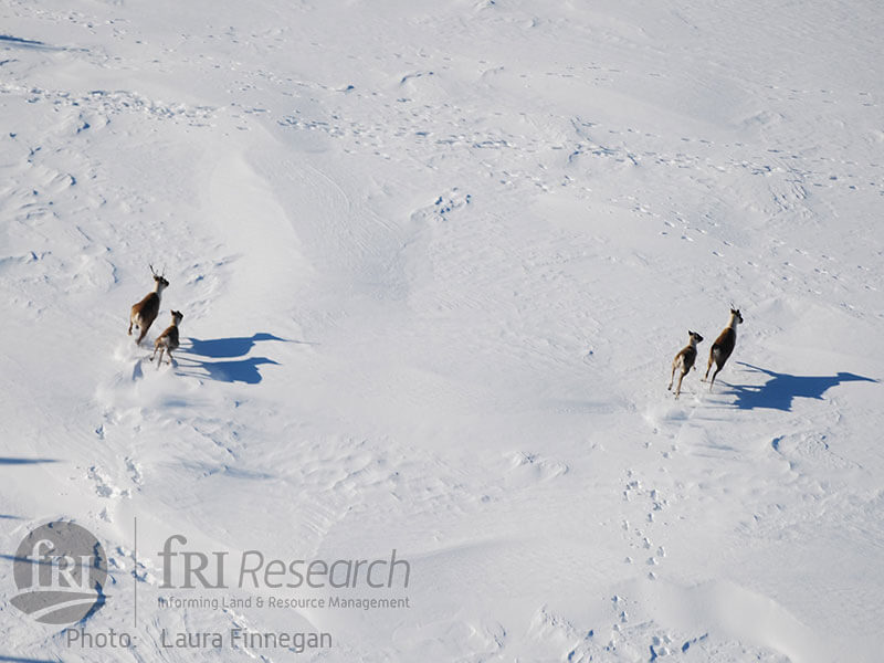
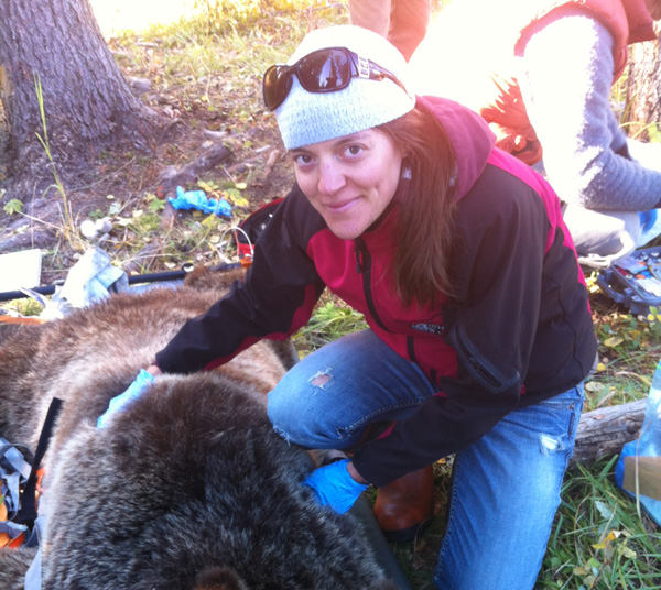
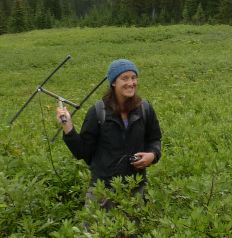
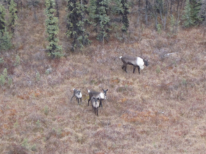
We will use GIS and existing GPS telemetry data to identify functional movement corridors and high-quality habitat patches for the Redrock-Prairie Creek and Narraway herds. We will assess the attributes of high-quality habitat patches and movement paths using a GIS and field visits and use these data to model the distribution of high-quality habitat patches and movement paths on the landscape. We will combine landscape attributes, existing maps of annual disturbance, and existing caribou food data held collected by the Caribou Program (2014-2015) from the Little Smoky and A La Peche ranges with the results of movement models and field validated data to model the distribution of high-quality habitat in west-central Alberta and potentially across the boreal forest. We will validate our approach using GPS telemetry data from the Little Smoky herd.
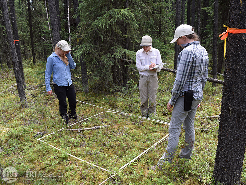
We will also visit permanent sampling plots established in the 1990s and 2000s by FMA holders and measure food and tree attributes at these sites. These data will be combined with data previously collected at these sites, existing datasets held by the fRI Research, and GIS-based variables to build models assessing how silviculture treatments affect terrestrial lichen regrowth, how this changes over time, and how lichen growth at treated sites compares to untreated sites. These models will allow us to assess the potential of adaptive silviculture methods in maintaining or augmenting high-quality caribou habitat, and identify topographic/ecosite characteristics where treatments might be the most successful. This can be used to inform habitat restoration and best forest management practices to promote caribou population recovery across the boreal forest.
Finally we will develop a GIS tool that will allow land-use managers to evaluate the value of proposed management scenarios to caribou. Specifically this tool will determine the impacts of development to date and subsequent regeneration on landscape connectivity for caribou, and use this information to spatially identify areas that are high priorities for restoration to re-establish connectivity, and evaluate the impacts of planned development on the availability of high-quality habitat and landscape connectivity under “business as usual” and alternate management scenarios. The tool outputs will indicate the predicted impact of the overall management strategy on high-quality habitat and connectivity (positive, negative, or neutral), and the relative contribution of individual components of the management strategy to allow land-use managers to adapt scenarios to benefit caribou.
Project begins with analysis of GIS data to identify high quality habitat
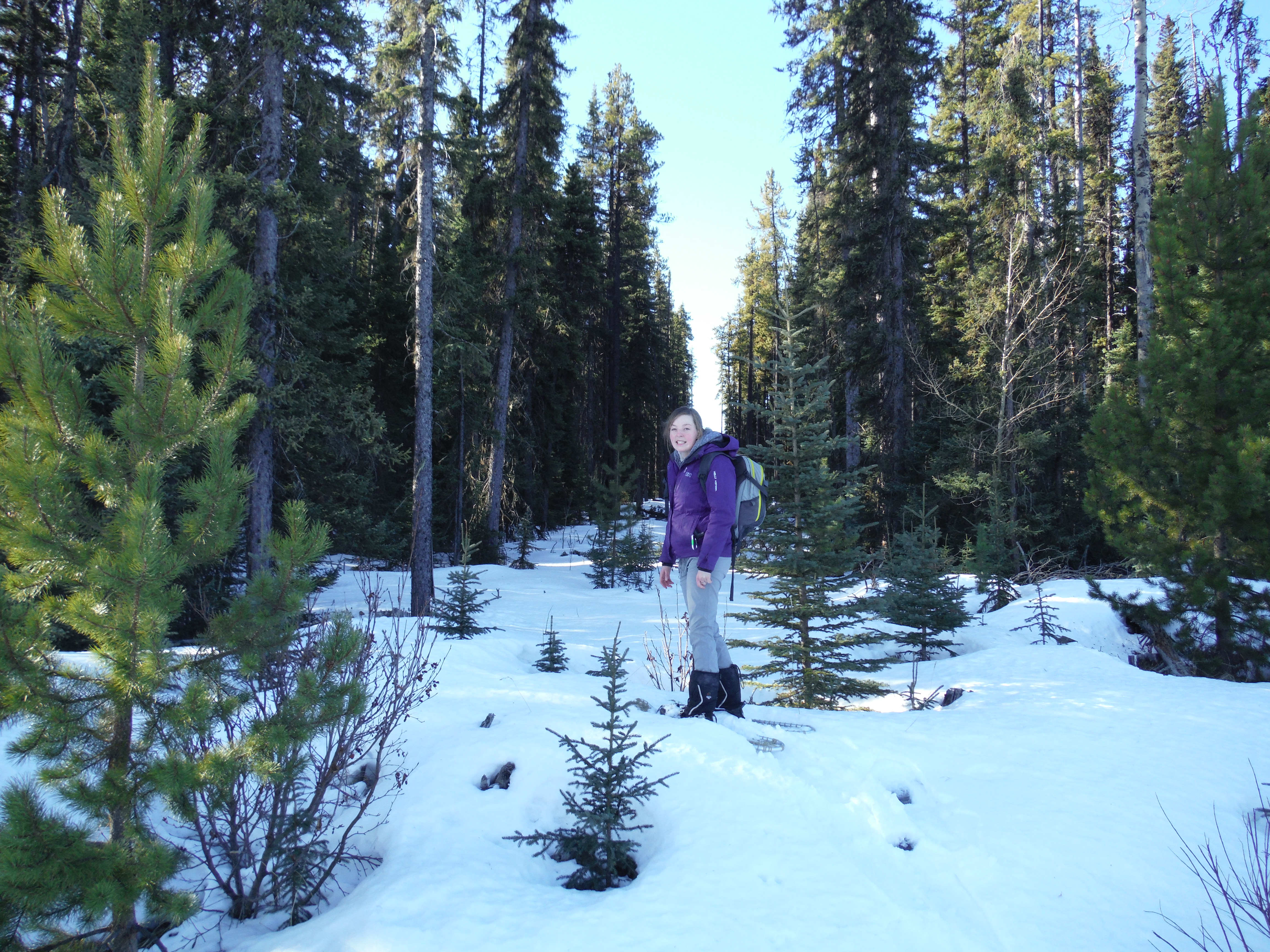
From June to September, field crews are collecting data in west-central Alberta
2016 data has been collected. The winter will be focused on analysis.
Results from the first year of data collection and analysis delivered to partner
High occupancy habitat visited to survey site characteristics.
Movement paths analyzed and high occupancy patches characterized.
The GIS Program begins building a tool for land managers to use project findings
Final report completed. Additional papers and GIS tool in progress.