Using Remote Sensing Tools to Enhance the Recovery of Alberta’s Native Trout in the Eastern Slopes
Using high-density lidar to identify and characterize potentially fish-bearing streams.
This project will take advantage of recent advances in remote sensing, in particular high-density LiDAR , to create a “virtual watershed”. This approach is similar to the highly successful NetMap tool, which used an older – and lower resolution – generation of remote sensing data to estimate stream attributes and fish habitat. As with NetMap, this GIS tool will be developed in collaboration with Dr. Lee Benda of Terrainworks.
The new high-density LiDAR data will allow us to identify small, potentially fish-bearing streams and channels and derive stream attributes including width, sinuosity, gradients, and shade regimes. These would be highly useful for understanding which streams are physically suitable as fish habitat, and which are likely or unlikely to contain spawning, rearing, and accessible upstream areas. High resolution maps of ditches and other stream-adjacent features will also help estimate sedimentation.
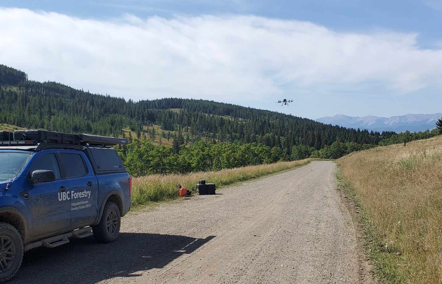
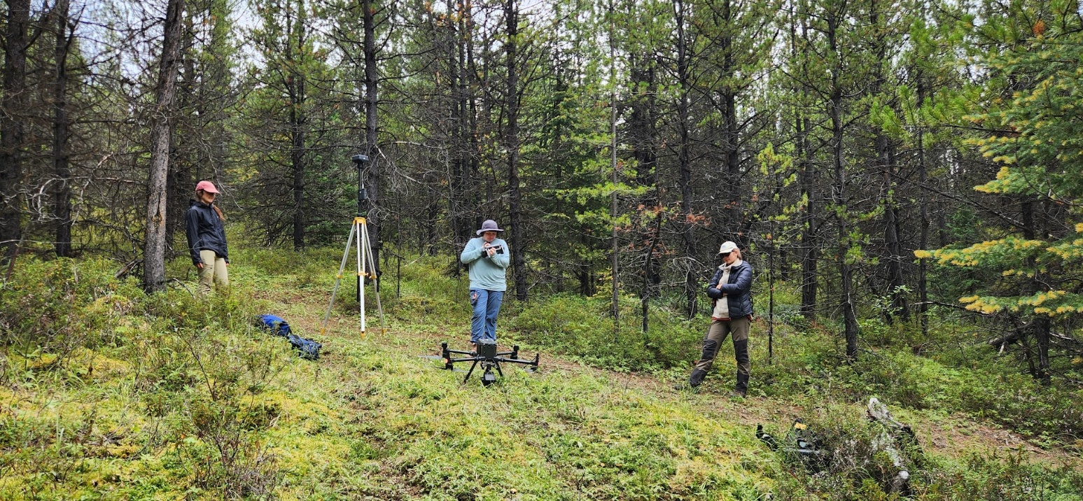
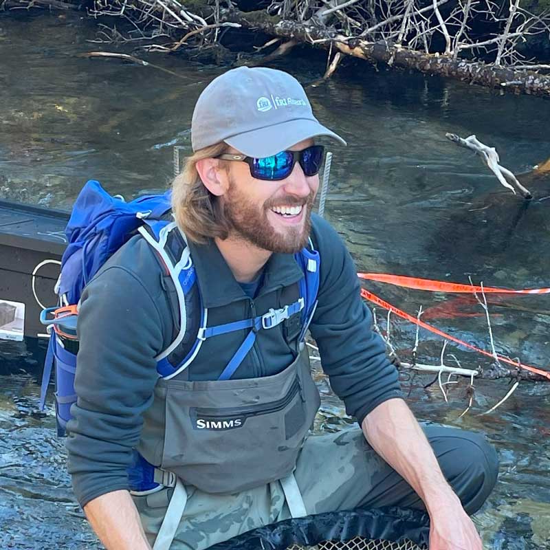
Leanna Stackhouse will collect and process the LiDAR and thermal imagery data from each study stream. Stackhouse is a PhD candidate in Dr. Coops’ Integrated Remote Sensing Studio at the University of British Columbia, where her research integrates LiDAR remote sensing with characterizing riparian vegetation and impacts of forest harvesting to streams.
We are also working with Dr. Alexis Achim’s Metafor team at l’Université Laval. Information about their group can be found here.

Study Areas
Study Area 1 is situated near the town of Hinton, home base for fRI Research. These watersheds include the Upper McLeod, Embarras, and Wildhay, part of the Athabasca watershed, where bull and Athabasca rainbow trout are observed.
Study Area 2 will be situated southwest of Calgary, Locations in this study area includes portions of the Elbow, Bow and Oldman watersheds. Westslope cutthroat trout and bull trout are found in these watersheds.
Additionally, a pilot study is underway in the Simonette River, of the Peace Watershed, home to bull trout and arctic grayling.
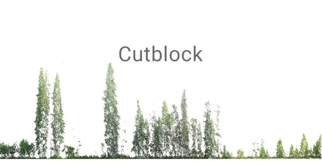
Sample LiDAR Outputs
The LiDAR point clouds of three sample transects are shown below, demonstrating the resolution possible with this new technology.


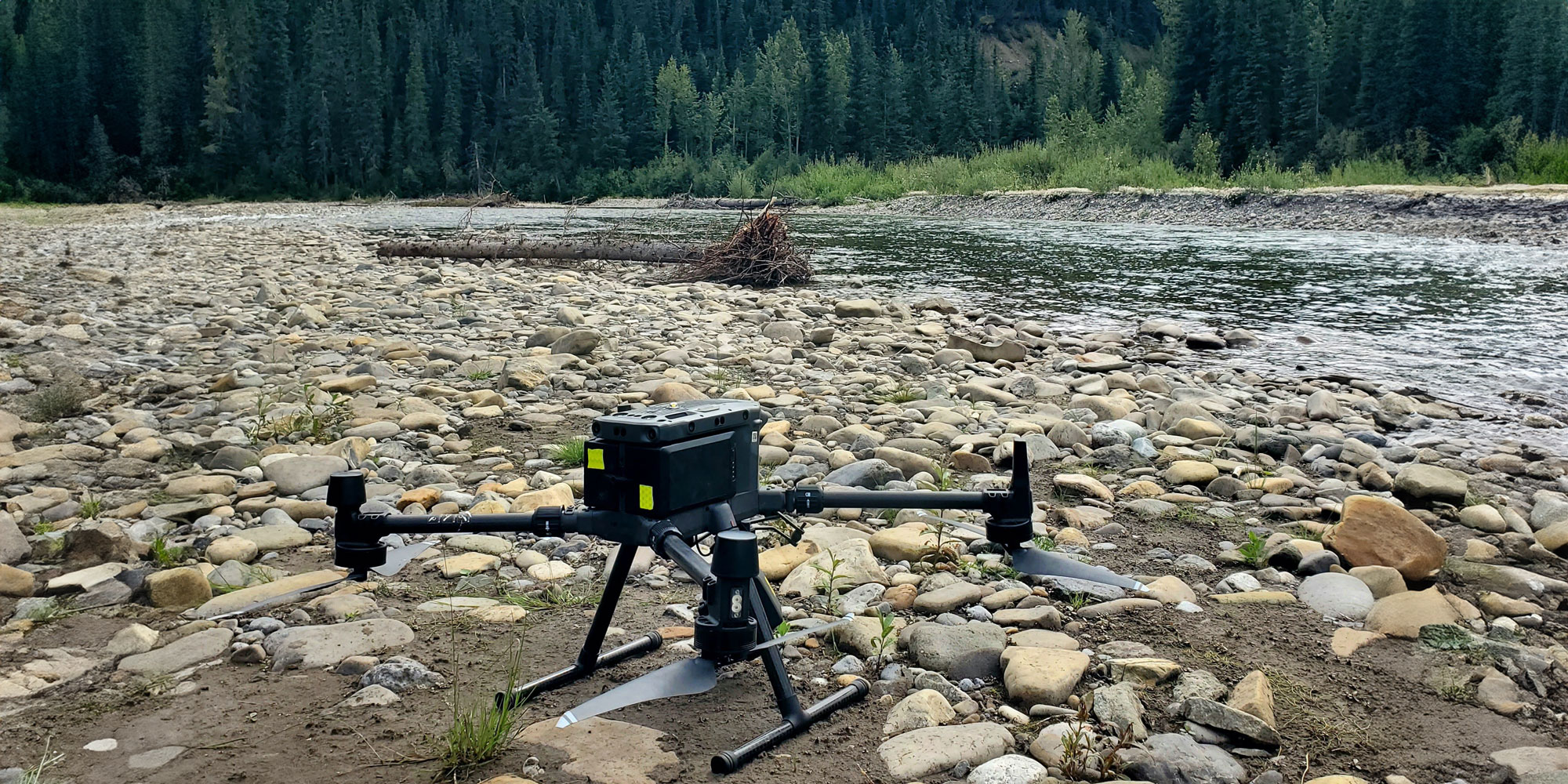
Collecting preliminary LiDAR and thermal imagery data on sites throughout the east slopes