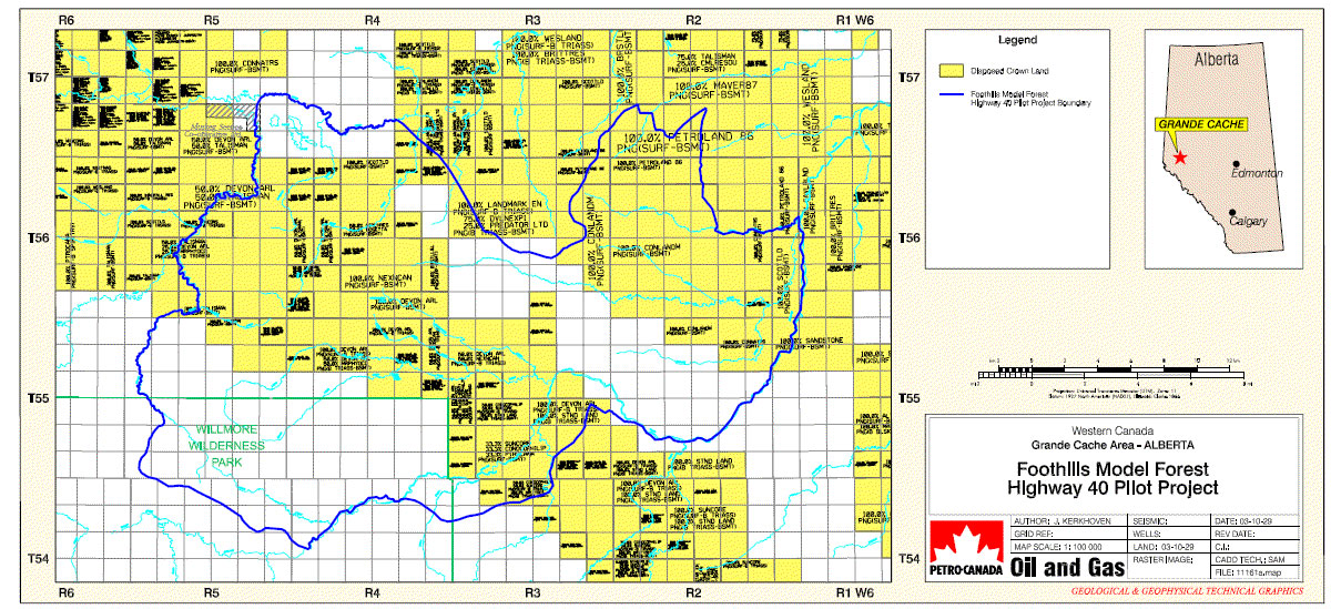
Foothills Model Forest Highway 40 Pilot Project Map – Disposed Crown Land Map of Highway 40 Pilot Project area showing disposed crown land and the pilot project boundary. Downloads HLP_2003_10_Map_FMFHwy40PilotProjectMap11161a.pdf Author Kerkhoven, J. Published Oct 01, 2003 Subject Area EBM Resource Management Forest Management Untagged Record Type Maps GIS Products Related Programs Healthy Landscapes Program Related Projects The Highway 40 North Demonstration Project