


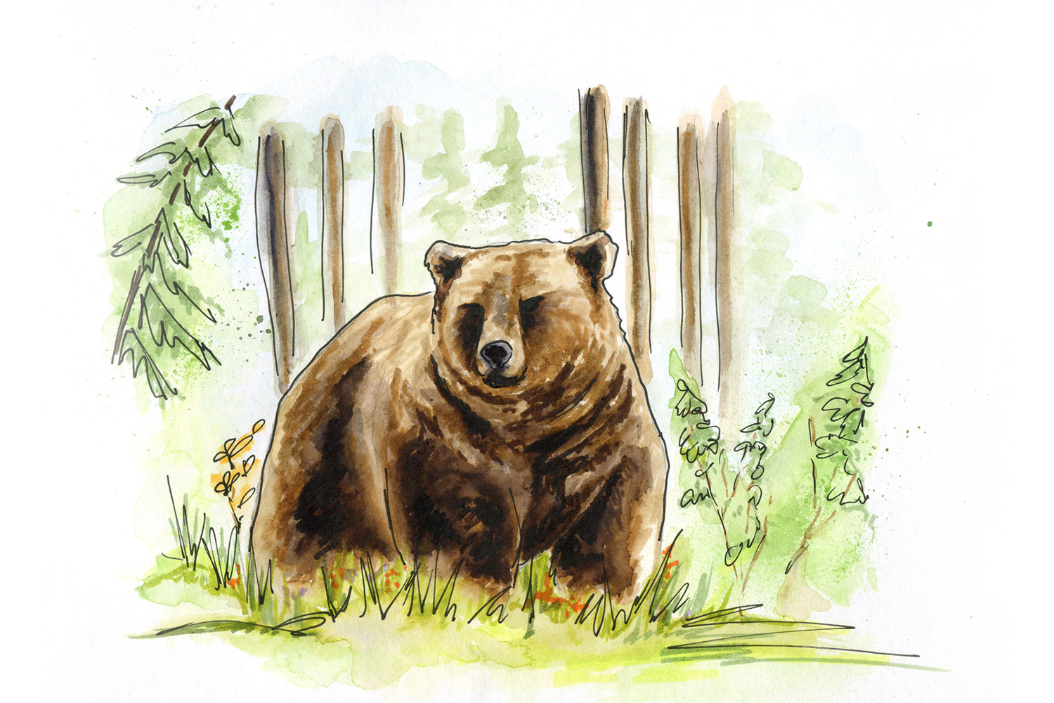
GBTools are a suite of GIS models for investigating the current status, and impact of changes on the landscape. Since 2007, the Grizzly Bear Program has been delivering these tools to partners in government and industry so that they can create science-based management plans that take grizzly bears into account.
Over the years, we have updated and extended the GIS layers, added new tools, and made other enhancements. The latest version is a major upgrade to run in ArcGIS Pro, which may be new to some users. These tutorials are intended to help.
In this webinar series we provide information on the how the GBTools package has evolved over the years, what each tool contains, why it was created, tutorials on how to run each on the main tools, and how to interpret results to be used in planning.
Introduction
This webinar gives a brief history of the grizzly bear program and a crash course on bear ecology basics that can be used to better interpret tool results. Following that we give an overview of each tool, why they were created, and their potential applications.
Road Density Tools
Higher road density is linked with higher grizzly bear mortalities. Further, there are science-based thresholds established in Alberta’s recovery plans. In this webinar we show how to calculate current road density in an area of interest and compare this to new road densities created by different scenarios of road construction and reclamation. We then discuss how to interpret results.
Habitat State Tools
Grizzly bear habitat quality and risk of mortality shifts with each new development on the landscape. Within this webinar we go over how we can use the GBTools to determine current landscape conditions, and compare these to new scenarios surrounding new development. Within that habitat states suite of tools we show how to calculate resource selection functions (RSFs) and mortality risk, how to quantify each within an area of interest, and how to determine the amount of change. We conclude by discussing the interpretation of results for meaningful management decisions.
Denning and Sightability Tools
The Sightability Tool determines how visible a bear is from a road. Reducing sightability on the landscape can reduce the mortality risk to bears where reducing road densities is not possible. In the first part of this webinar we run through how to use GBTools to determine sightability of surrounding landscapes from roads, interpret these results, and determine where it would be beneficial to reduce sightlines from roads.
The Denning RSF Tool shows where grizzly bear dens have a higher probability of occurring. It is important in management to maintain good denning habitat for grizzly bears. In the second part of this webinar we show users how to use the Denning RSF Tool to determine where grizzly bears have a high probability of making their dens and how disturbance scenarios affects denning probabilities.
Related Publications
The GBTools are based on over 20 years of research by the Grizzly Bear Program and our academic partners. Below are some papers that serve as the scientific foundation for the tools.
A habitat-based framework for grizzly bear conservation in Alberta.
The impact of roads on the demography of grizzly bears in Alberta.
Assessing den selection and den characteristics of grizzly bears.