


Article published in the Canadian Journal of Remote Sensing. Citation and abstract only.
Abstract
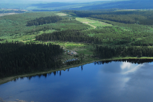
Aerial photographs acquired in 1948 – 1952, Corona “spy-satellite” imagery acquired in 1963, and Landsat multispectral scanner (MSS), thematic mapper (TM), and enhanced thematic mapper plus (ETM+) imagery acquired since 1974 were used to interpret land cover changes in the Foothills Model Forest of Alberta. The different image characteristics of aerial photographs and satellite sensor data require different analysis methods, but increasingly these data are being used together to determine changes in land cover and structure over a longer time period than is possible using satellite image data alone. The interpretations from this study suggest that in an active forest management area, conifer forest cover was reduced, broadleaf and mixed-forest cover was increased, and the forests were structured in smaller patches with greater edge density over the years circa 1950 – 1999. Another part of the study area, recovering from a major fire in the early part of the century, was interpreted to have experienced an increase in conifer forest area and mean patch size over this same time period. Overall, changes in the Foothills Model Forest landscape were relatively easily identified and deemed significant by resource managers; this study suggests additional work is warranted on understanding the effect of these changes in applications such as wildlife management.
Citation
Franklin, S. E., Montgomery, P. K., & Stenhouse, G. B. (2005). Interpretation of land cover changes using aerial photography and satellite imagery in the Foothills Model Forest of Alberta. Canadian Journal Remote Sensing, 31(4), 304–313. doi:10.5589/m05-015