Article published in International Journal of Remote Sensing. Citation and abstract only.
Abstract
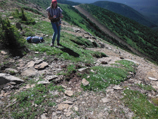
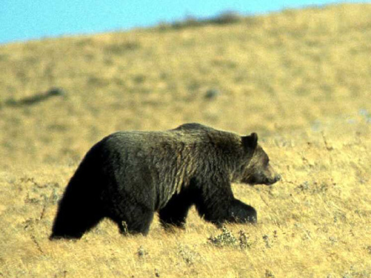
The long-term record of global Landsat data is an important resource for studying Earth’s system. Given the identified gaps in Landsat data and the undetermined future status of Landsat data availability, alternatives to Landsat imagery need to be tested in an operational environment. In this study, forest land cover and crown closure maps generated from Advanced Spaceborne Thermal Emission and Reflection Radiometer (ASTER) and System Pour 1’Observation de la Terre (SPOT) data were compared to Landsat-based map products currently in use by the grizzly bear habitat-mapping program. Overall accuracies greater than 85% were obtained for both ASTER- and SPOT-based land cover maps. The ASTER and SPOT classification accuracies were higher than that achieved by Landsat. Crown closure maps derived from ASTER and SPOT data show a small increase in accuracy when compared to the Landsat products. Overall, these results demonstrate that ASTER and SPOT could provide alternative data sources for producing maps in the event of a gap in the Landsat data.
Read the full article here.
Citation
Franklin, S. E., He, Y., Pape, A. D., Guo, X., & McDermid, G. J. (2011). Landsat-comparable land cover maps using ASTER and SPOT images: a case study for large-area mapping programmes. International Journal of Remote Sensing, 32(8), 2185–2205. doi:10.1080/01431161003674642