Article published in Remote Sensing of Environment. Citation and abstract only.
Abstract
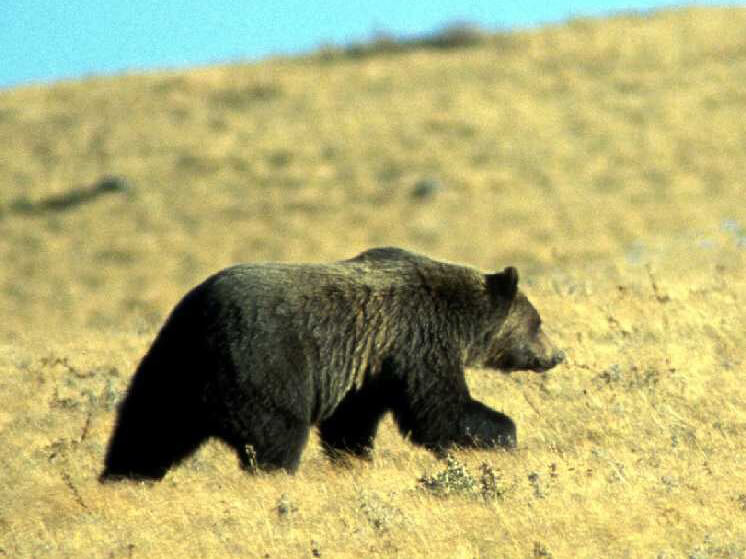
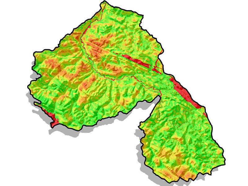
Information on the spatial and temporal patterns of plant phenology is important to develop a more comprehensive understanding of food availability and habitat for many animal species. The combination of broad scale, regional climatic, and more localized, site-level drivers presents a challenge when upscaling phenology from the plot to the region. Likewise, developing relationships between ground- or camera-based estimates and satellite imagery remains difficult due to the trade-off between temporal and spatial resolution. Landsat imagery, with its 16 day temporal resolution, is often thought of as being insufficient for timely observation of changes in vegetation throughout the year. However the free availability of the Landsat archive has enabled a major shift in the way Landsat imagery is processed moving towards pixel, rather than scene, based analyses. In this paper we build on previous research by examining the applicability and accuracy of Landsat derived phenology curves beyond deciduous stands into more mixed stands and conifer dominated forest types in the Rocky Mountains and foothills in Alberta, Canada. In addition, we discuss the application of these Landsat phenology curves to phenology of understorey species which are linked to habitat selection for free roaming wildlife, in particular grizzly bears. The agreement between Landsat- and camera-derived estimates of key phenological events was stronger for green-up (RMSE = 7 days) than for senescence (RMSE = 14 days). Our results show that yearly adjustment of green-up and senescence dates using available Landsat observations improved the agreement with camera-derived estimates when compared to average annual curves. Seasonal phenology transition dates accepted as valid ranged from 25% for alpine herbaceous pixels to 75% for closed deciduous, demonstrating the variable success of this approach across land cover types. Season transition dates were rejected if pixels lacked a strong enough green-up signal in Landsat spectral indices or if the estimated dates fell outside of the valid range. We conclude by investigating the spatial patterns of seasonal phenology at the Landsat scale, and assess the relative importance of regional vs. microsite conditions as well as the utility of these data for resource and wildlife management.
View the full article (with subscription) here.
Citation
Nijland, W., Bolton, D. K., Coops, N. C., & Stenhouse, G. (2016). Imaging phenology; scaling from camera plots to landscapes. Remote Sensing of Environment, 177, 13–20. doi:10.1016/j.rse.2016.02.018