Article published in Canadian Journal of Remote Sensing. Citation and abstract only.
Abstract
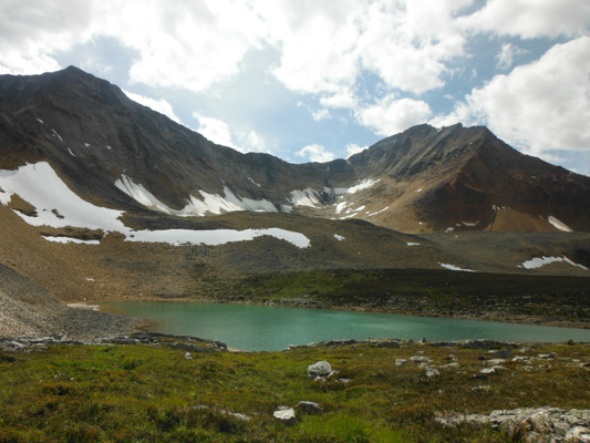
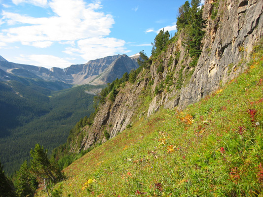
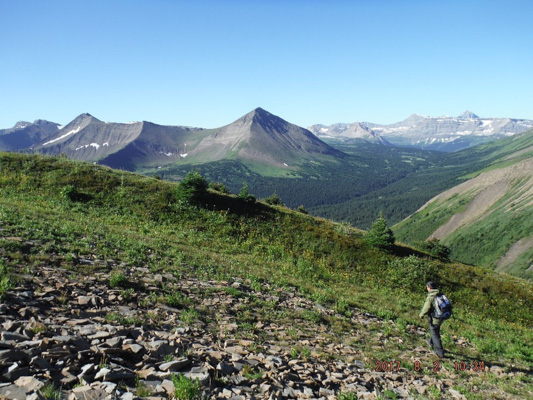
Multi-source data consisting of 1999 Landsat satellite imagery, topographic descriptors derived from DEMs, and GIS-based vegetation inventory information have been used to generate a detailed landcover classification map to quantify and analyze the spatial distribution and configuration of grizzly bear habitat within the Alberta Yellowhead Ecosystem study area. The map is needed as part of a larger ecosystem assessment to help determine if bear movement and habitat use patterns are affected by changing landscape conditions and human activities. An Integrated Decision Tree Approach (IDTA) was developed that incorporated unsupervised (K-means) clustering, empirically-derived DEM- and GIS-based decision rules (proximity, slopes, etc.), and maximum likelihood supervised classification of forest and vegetation classes based on field sampling. This approach was based on an earlier finding, using a 1998 Landsat image in this area, that different classifiers performed at different levels of success in various classes. The map produced with the IDTA method was determined to be approximately 80% accurate (kappa = 0.783) using 494 randomly sampled points unambiguously identified on available digital orthophotography.
Read the full article here.
Citation
Franklin, S. E., Stenhouse, G. B., Hansen, M. J., Popplewell, C. C., Dechka, J. A., & Peddle, D. R. (2001). An integrated decision tree approach (IDTA) to mapping landcover using satellite remote sensing in support of grizzly bear habitat analysis in the Alberta Yellowhead Ecosystem. Canadian Journal of Remote Sensing, 27(6), 579–592. doi:10.1080/07038992.2001.10854899