Article published in The Journal of Wildlife Management. Citation and abstract only.
Abstract
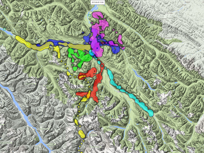
Understanding the spatial structure of populations is fundamental to effective assessment, planning, and management for species conservation. Because of their sensitivity and public interest, grizzly bears (Ursus arctos) are focused upon in some localized development issues and proactive conservation initiatives. Knowledge regarding the spatial context of regional grizzly bear populations is important, but often a defensible representation of probable population distribution, core areas, and connectivity is lacking. We describe the development and assessment of a regional landscape model of grizzly bear density and distribution. Our study region comprised 180,000 km2 and 20 management units of southeast British Columbia and southwest Alberta. Our meta-analysis was based on data from 20 independent grizzly bear population surveys across the region. While accounting for differing design parameters among surveys, we contrasted grizzly bear detections against sampling representation relative to scale-dependent landscape factors. Our predictors pertained to the influence of climate, terrain, land cover, vegetation indices, and human activity. Associations within survey areas were consistent with ecological influences on grizzly bear foods and human influences on grizzly bear mortality risk and landscape avoidance. A multiple logistic regression model based on independent components of ecological variation fit well the data pooled across the region and within individual survey areas. Average values of detection probability among survey areas predicted population density (R2= 0.64 or 0.79 depending on one outlier). Our results support the application of our model across southeast British Columbia and southwest Alberta for assessment and planning that requires regional and local context of grizzly bear population abundance and distribution, and inference of core areas and population connections among them. For any geographic area, a population estimate can be obtained that is reflective of surveys used in the model. Spatial predictions for any defined population are likely to be more reliable than those extrapolated from tracking data of individual animals given limitations typical of such sampling. Ultimately, model output provides regional population context for environmental assessment, management, and conservation planning, nested within which should be finer-scale data and prediction where available.
Access the full paper (with subscription) here.
Citation
Apps, C. D., McLellan, B. N., Proctor, M. F., Stenhouse, G. B., & Servheen, C. (2016). Predicting spatial variation in grizzly bear abundance to inform conservation. The Journal of Wildlife Management, 80(3), 396–413. doi:10.1002/jwmg.1037


