Can forestry and silviculture practices help increase caribou functional habitat in west-central Alberta?
This project will evaluate and mitigate industrial impacts on west-central Alberta Caribou herds.
The decline of southern mountain and boreal caribou populations is thought to be a result of habitat degradation and fragmentation from industrial activities. Effective restoration and management tactics within caribou ranges rely on informed decisions to minimize the future negative impact of industrial activities on caribou while maximizing the benefits of current restoration efforts.
Our objective is to evaluate and mitigate the potential impacts of industrial activities on high-quality habitat and landscape connectivity for caribou now and into the future.
Objectives
This project has the following objectives:
- Identify functional movement paths and high-quality habitat patches using existing GPS telemetry data (1998-present) for Redrock-Prairie Creek and Narraway herds via movement-based models and cluster analysis.
- Assess attributes of movement paths and high-quality habitat using a GIS and field visits to high-use caribou areas identified in Objective 1.
- Integrate telemetry, field data, and existing caribou food data (~1000 field plots) collected by the Caribou Program to model and map the distribution of movement paths and high-quality habitat in Redrock-Prairie Creek and Narraway caribou range, and determine how paths and high-quality habitat have changed in relation to anthropogenic land use, post-disturbance regeneration, and climate variability throughout the duration of the collaring program (1998-present).
- Map the distribution of high-quality habitat in the A La Peche and Little Smoky caribou ranges using newly obtained information on landscape attributes associated with high-quality habitat (Objectives 1-3), and existing food data collected by the Caribou Program, and validate these high-quality habitat maps using telemetry data from the Little Smoky herd.
- Evaluate the potential of silviculture prescriptions (i.e. commercial thinning to stratified canopy densities) as tools for restoring caribou habitat using silviculture history, movement models, GIS-based ecosite data and field visits of permanent sampling plots within areas previously established for caribou lichen trials by Forest Management Agreement (FMA) holders within west-central caribou ranges.
- For land-use managers, develop a decision-support tool (GIS) that facilitates the design of restoration activities focused on re-establishing landscape connectivity for caribou, and that could be used to direct the planning of activities to minimize impacts on high-quality habitat and movement paths, and/or augment habitat quality via silviculture prescriptions.
Methods
High quality habitat and movement paths
We will use a GIS and existing GPS telemetry data to identify movement paths and habitat patches utilized by GPS-collared caribou within the Redrock-Prairie Creek and Narraway herds (1998-present).
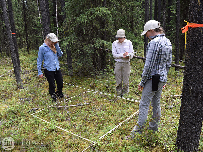
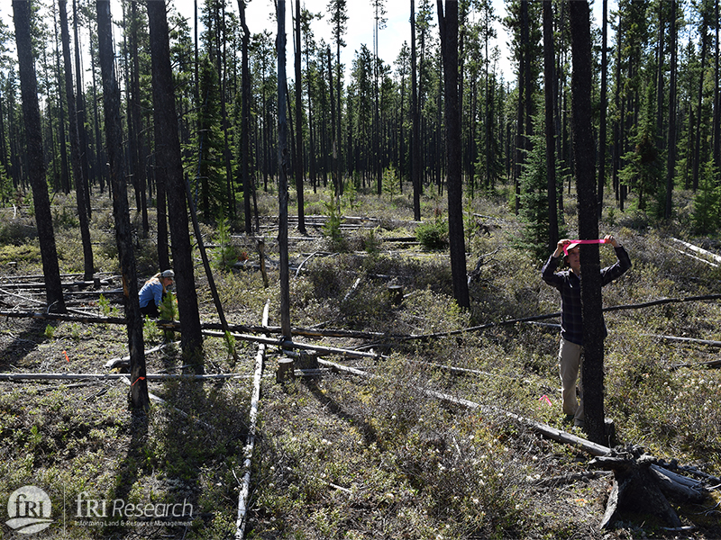
First, we will partition caribou data into seasons using an individual-based model that identifies inflection points in movement rates that indicate movement of caribou between seasonal ranges. Second, we will use non-linear curve fitting to identify spatiotemporal within-season modes of caribou movement (resting/foraging, inter-patch movements, large scale movements). We will then determine the fine scale attributes of high-quality habitat patches (resting/foraging locations) and movement paths (inter-patch and large scale movement paths) using a GIS (e.g. LiDAR-based measurements of canopy cover, proximity and density of disturbances, habitat type, wet areas mapping, predation risk), field visits (e.g. % cover of caribou forage taxa vs. non-forage taxa, stem count, DBH) and existing data on caribou forage abundance collected by the Caribou Program (2014-15).
Important caribou forage taxa were identified from a diet analysis of caribou in west-central Alberta and through collaboration with an ongoing study of captive caribou foraging behaviour by the National Council for Air and Stream Improvement. We will use an RSF approach to model the distribution of high-quality habitat patches and movement paths across the landscape, and we will assess the predictive capability of our models using k-fold cross validation.
We will model the distribution of high-quality habitat and movement paths for the Little Smoky and A La Peche herds using the field validated models built in the Redrock-Prairie Creek and Narraway herds, our previous caribou forage abundance data (2014-15) within the range of the Little Smoky and A La Peche caribou herds, and GIS variables as previously described. We will also validate these predictive models using contemporary GPS telemetry data from the Little Smoky herd (2014-15).
Silviculture treatments and caribou habitat
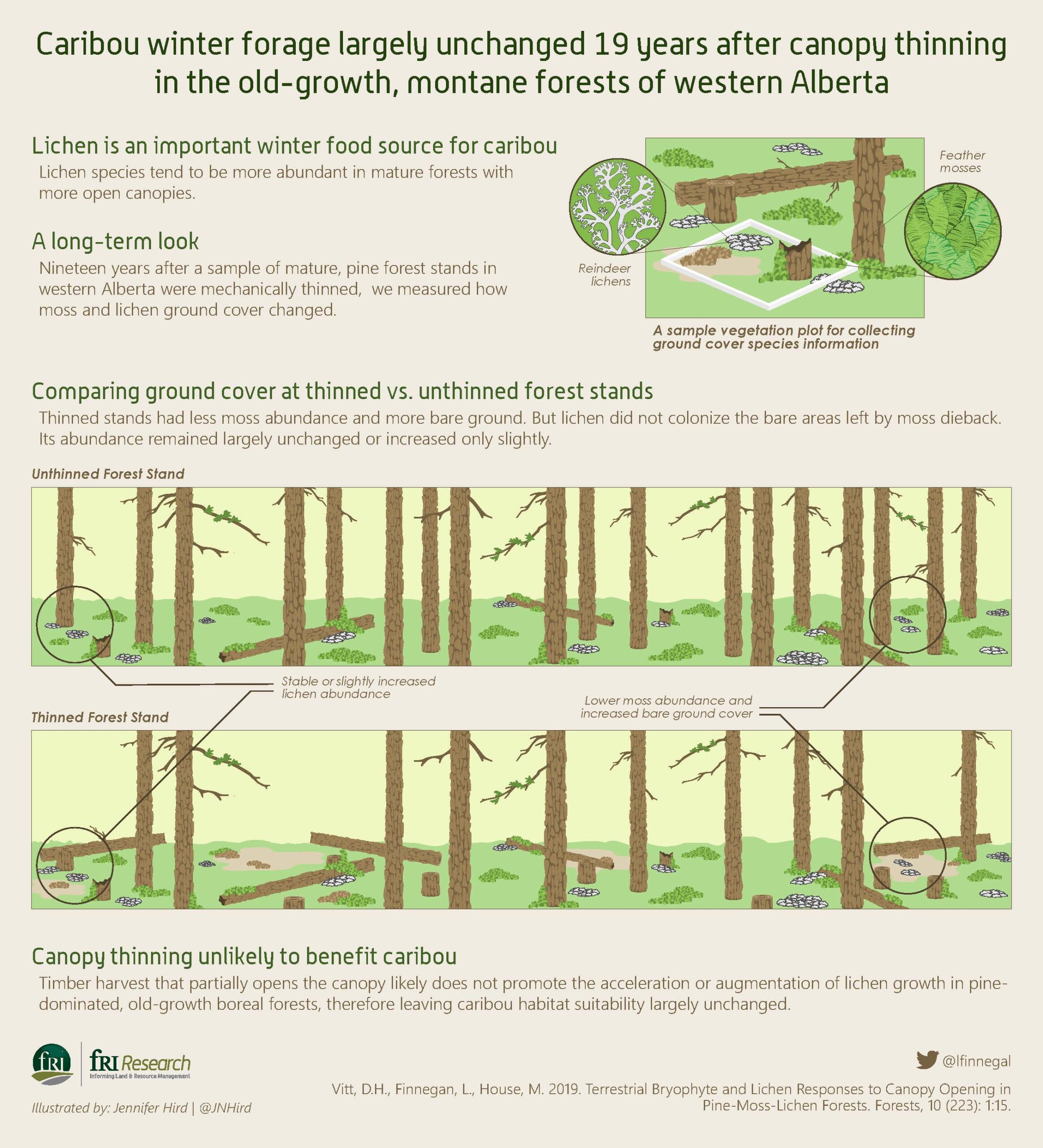
We will visit permanent sampling plots established in the 1990s and 2000s and measure caribou forage and tree attributes (e.g. DBH, canopy cover, species composition). These data will be combined with data previously collected at these permanent sampling plots, existing datasets held by the Caribou Program (2014-15), and GIS based variables (e.g. wet areas mapping, ecosites) to build models assessing:
- how silviculture treatments affect terrestrial lichen abundance (zero-inflated negative binomial regression with k-fold cross validation),
- how lichen abundance changes over time (multiple regression with k-fold cross validation), and
- how lichen growth differs at treated and untreated sites (case-control logistic regression with k-fold cross validation).
These models will allow us to assess the potential of adaptive silviculture methods in maintaining or augmenting high-quality habitat, and identify topographic/ecosite characteristics where treatments might be the most successful. This can be used to inform habitat restoration in west-central Alberta, and can also be used elsewhere within caribou ranges across the boreal forest as a mitigation and restoration tool to promote the recovery of caribou populations.
Project begins with analysis of GIS data to identify high quality habitat
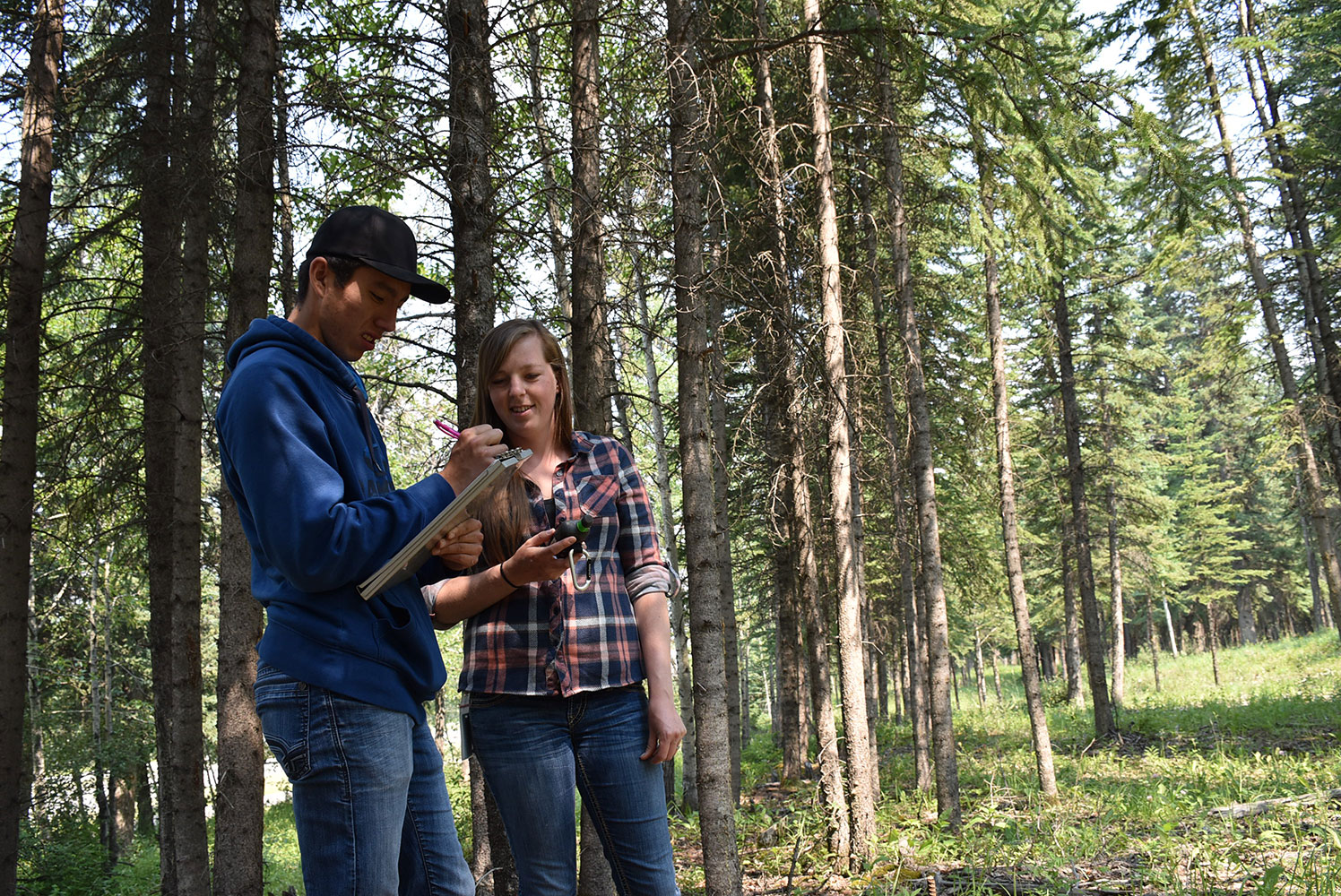
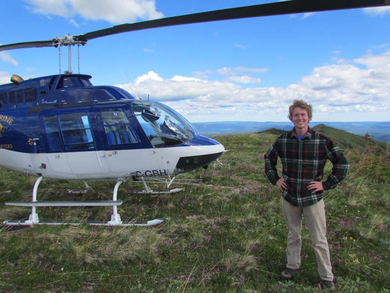
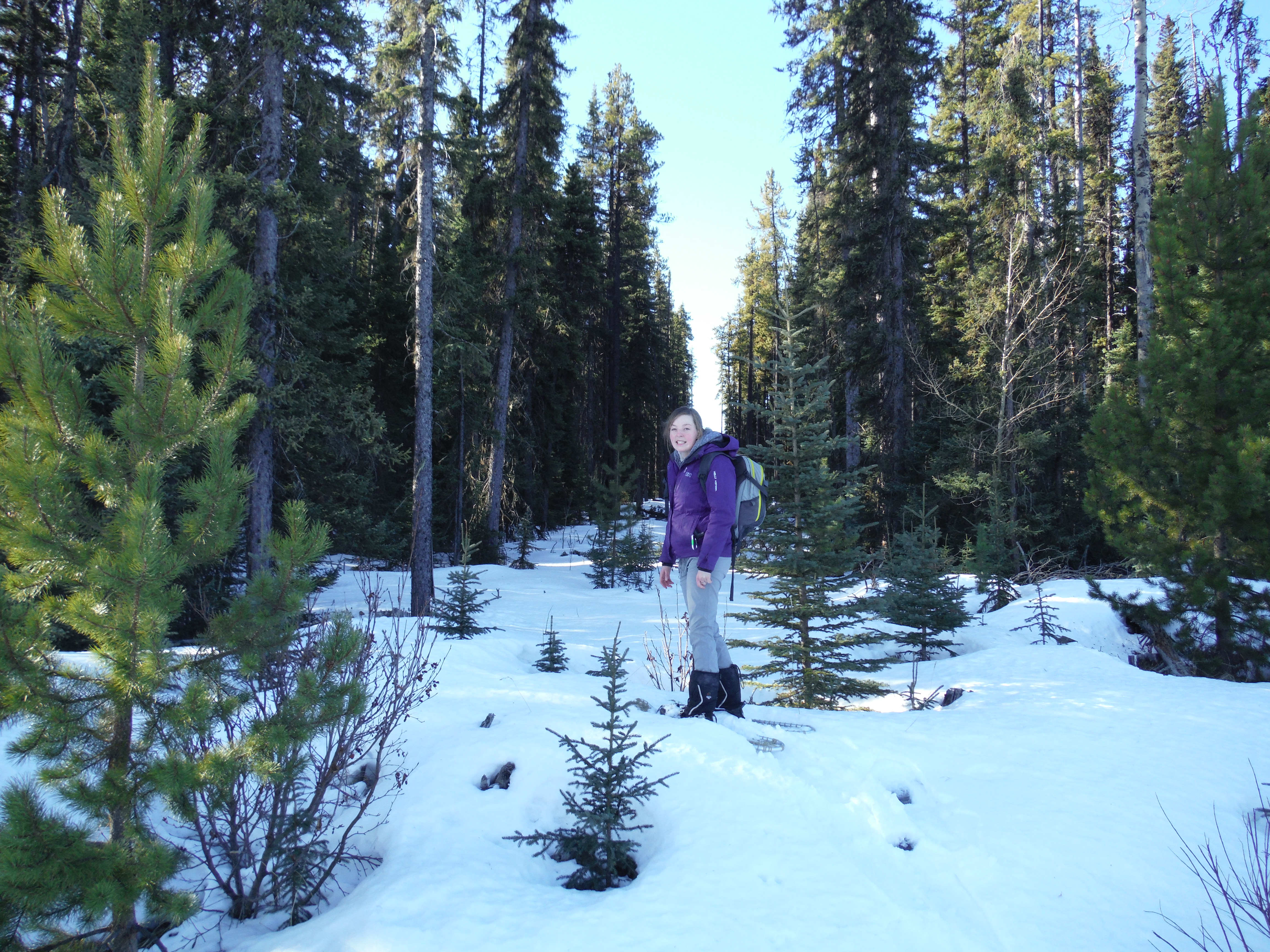
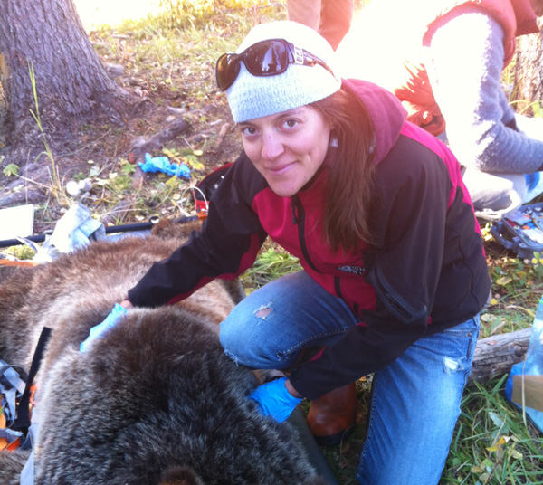
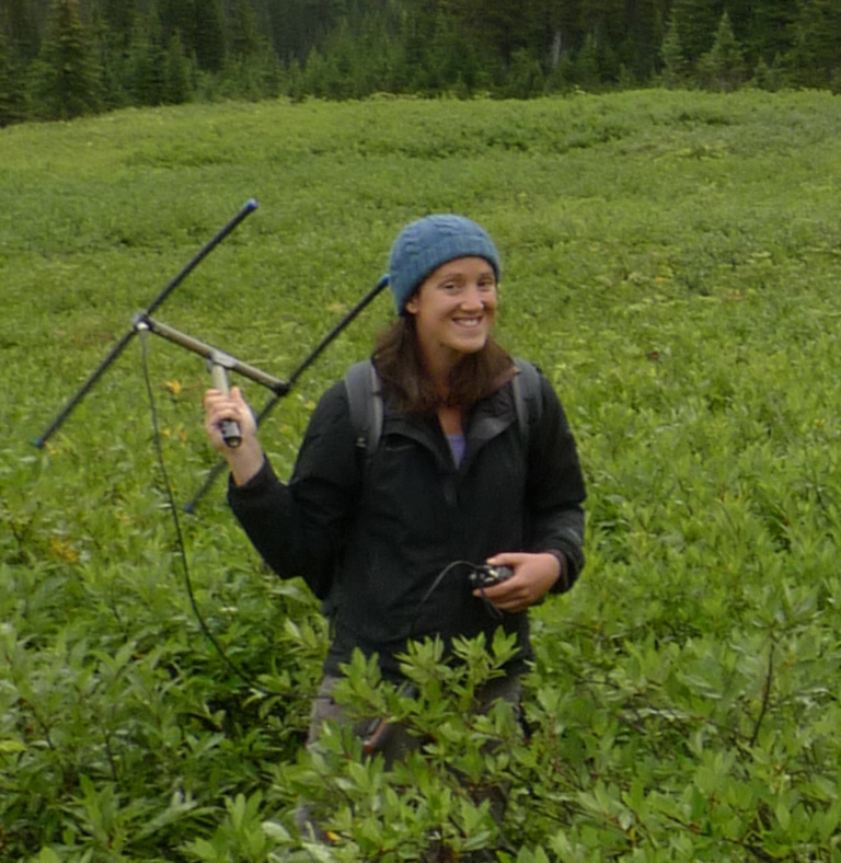
From June to September, field crews are collecting data in west-central Alberta
Preliminary results delivered to partners.
Lichen surveys completed
Field data analyzed, papers and report in production
Peer-reviewed paper accepted and final report submitted to partners.