The Co-existence of a Threatened Population of Grizzly Bears with Quarry Mining in Alberta, Canada
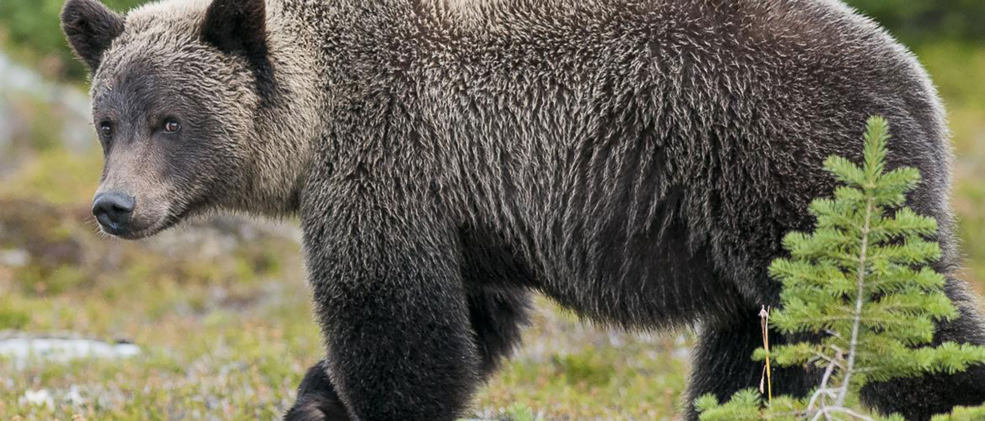
Historic collar data from the Grizzly Bear Program has shown grizzly bears frequenting the quarry lands and the adjacent properties, including adjacent coal mines and the neighboring community of Cadomin.
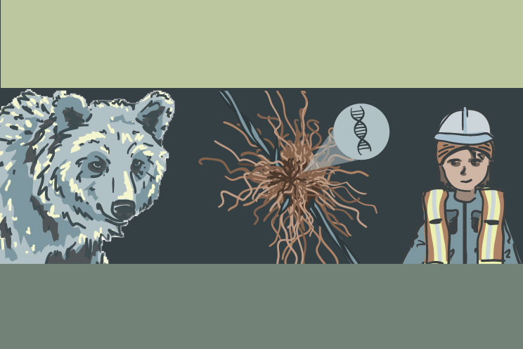
Our project will involve quarry employees and local high school students in noninvasive genetic sampling to identify individual grizzly bears using the quarry property. By combining genetic samples, retrieved from grizzly bear hair and scat, with existing data from the Grizzly Bear Program’s historical collaring and tracking efforts within the area, we will assess grizzly bear habitat use, movement, and survival on the quarry site.
Background
Along the eastern slopes of the Rocky Mountains in Alberta, Canada, threatened populations of grizzly bears occupy a landscape highly influenced by recreation and industrial activities including forest harvesting, oil and gas exploration and extraction, and mining. The cumulative footprint of these natural resource extraction activities is substantial, however the exact impacts on wildlife are often site, industry, and species-specific. Within this complex landscape, grizzly bears have long been a focal species often used to examine the impacts of anthropogenic disturbance on wildlife habitat use. Grizzly bears are designated provincially as a “Threatened” species, with population persistence dependent on the availability of productive habitats, safe from the risk of human-caused mortality. Industrial activities can alter the spatial distribution of both food resources and humans on the landscape, with impacts on grizzly bears potentially affecting their movements, habitat selection, survival and health of individual bears within a population.
While research has been conducted on the use of open-pit coal mines in the area, grizzly bear use of the adjacent Cadomin Limestone Quarry has never been examined. Operated by Lehigh Hanson Materials Limited, the quarry covers 181 ha. situated at the edge of the foothills geographic region, progressing into subalpine and alpine habitats, approximately 360 km west of Edmonton. Historical GPS collar data from the Grizzly Bear Program has shown grizzly bears frequenting the quarry surface lease and the adjacent properties, including protected areas to the south and west, and the Cadomin town site to the north. We believe that this specific area is a major and important movement corridor for bears in this area with seasonal movements between forested and alpine habitats.
Objectives
- Assess the survival rates of grizzly bears that are known to historically have a home range that encompasses the Lehigh quarry site
- Collect data to show the movement patterns of local bears that may use the quarry site as a primary movement corridor in this valley
- Determine if there are offspring from known grizzly bears that are continuing to use the Lehigh mine area as their parents are
- Gather information that can compare with mine area use of grizzly bears that was observed 20 years ago when data collection was first started. These insights will speak to the ability of grizzly bears to coexist on a share landscape where mining has been taking place for many decades.
Understanding grizzly bear response to this type of resource extraction activity can facilitate better land-use planning to ensure coexistence of grizzly bear populations and anthropogenic activity on an a shared landscape.
Planning and preparations underway.
High school students Morgan, Bryce, Adam and Hunter join the GBP team.
2 hair snag sites set up at the Cadomin Limestone Quarry
Final day sampling
hair snag sites removed
DNA extraction and analysis of hair and scat samples expedited
DNA results returned from lab
final report being written
Final report submitted
Quarry Life Award adjudication underway
Our team is awarded first place in North America for the Quarry Life Award


