Abstract
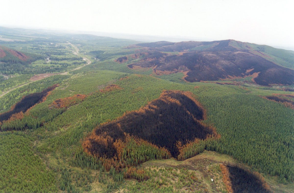
Free and open access to the Landsat archive has enabled the detection and delineation of an unprecedented number of fire events across the globe. Despite the availability and potential of these data, few studies have analysed residual vegetation patterns and/or partial mortality of fire across the Canadian boreal forest, and those available, are either incomplete or inaccurate. Further, they all differ in the methods and spatial language, which makes it difficult for managers to interpret fire patterns over large areas. There is an urgent need for methods to help unify fire pattern observations across the Canadian boreal forest. This study explores the capacity of the Landsat data archive when coupled with a recently developed fire mapping approach and a robust spatial language to characterize and compare tree mortality patterns across the boreal plains ecozone, Canada. With 507 fires 2.5 Mha mapped, this study represents the most comprehensive analysis of mortality patterns for study area. Summaries from this demonstration generated an accurate characterization of the fire patterns the various ecoregions based on seven key fire metrics. The comparison between ecoregions revealed differences in the amount of residual vegetation, which in turn suggested various climate, topography and/or vegetation ecosystem drivers.
Citation
Ignacio San-Miguel, David W. Andison & Nicholas C. Coops (2018) “Quantifying local fire regimes using the Landsat data-archive: a conceptual framework to derive detailed fire pattern metrics from pixel-level information.” International Journal of Digital Earth, DOI: 10.1080/17538947.2018.1464072


