


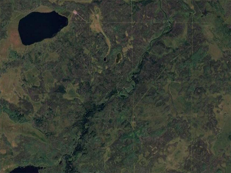
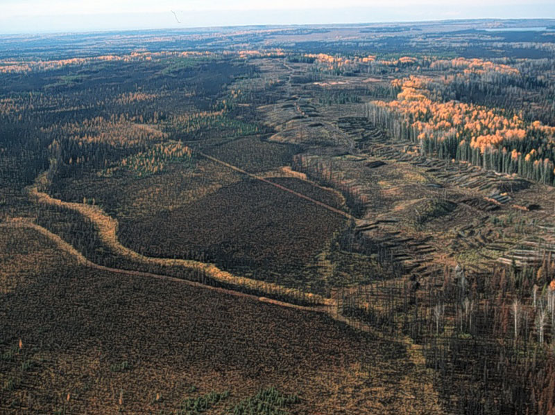
Creating Wildfire Mortality Maps and Metrics from Landsat Images
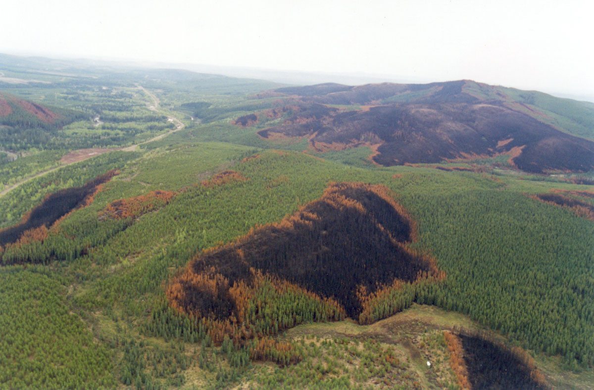
A detailed wildfire burn pattern database is the cornerstone of the collective NRV requirements of government, the Forest Stewardship Council and the Canadian Boreal Forest Agreement.
This project will create a methodology for using Landsat imagery to supplement the more expensive and time consuming aerial photography.
Paper from the Healthy Landscapes Program
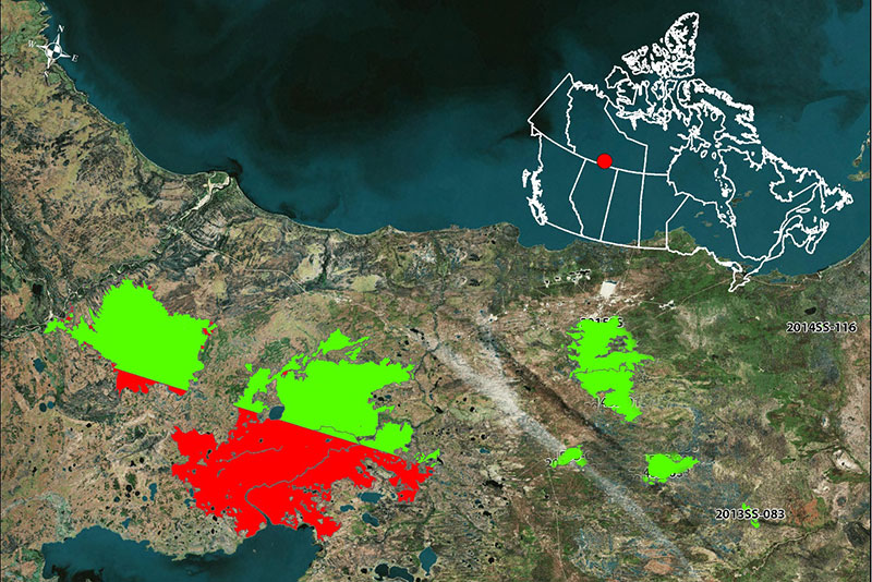
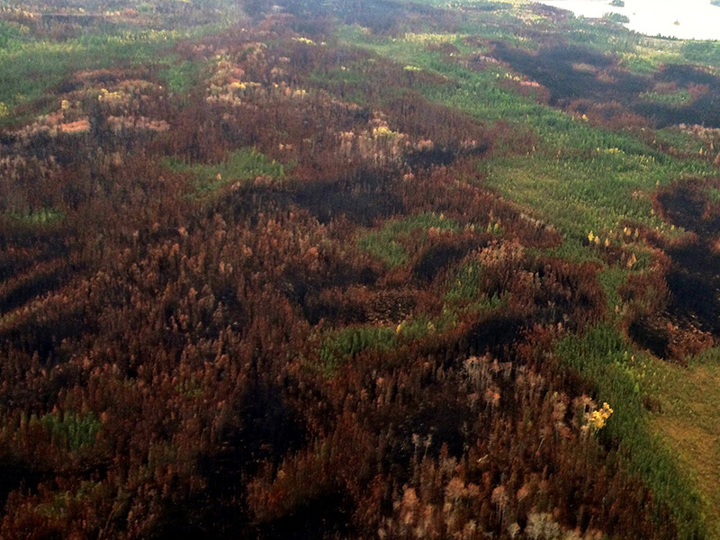
Final report from the Healthy Landscapes Program summarizing the results from 11 fire events in the Northwest Territories.
Peer reviewed paper from the Healthy Landscapes Program.

Slides and links to video of the Healthy Landscapes Program webinar series.
Peer reviewed publication from the Healthy Landscapes Program
Peer-reviewed paper from the Healthy Landscapes Program, related to analysis of fires in Alberta and Saskatchewan.
No news articles tagged.
Dr. David Andison
Program Lead