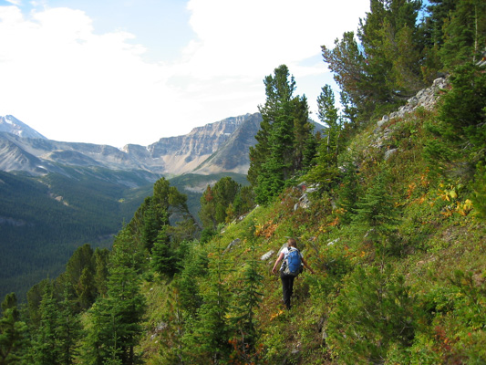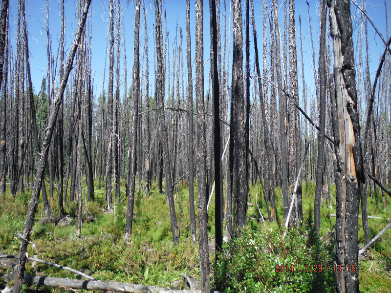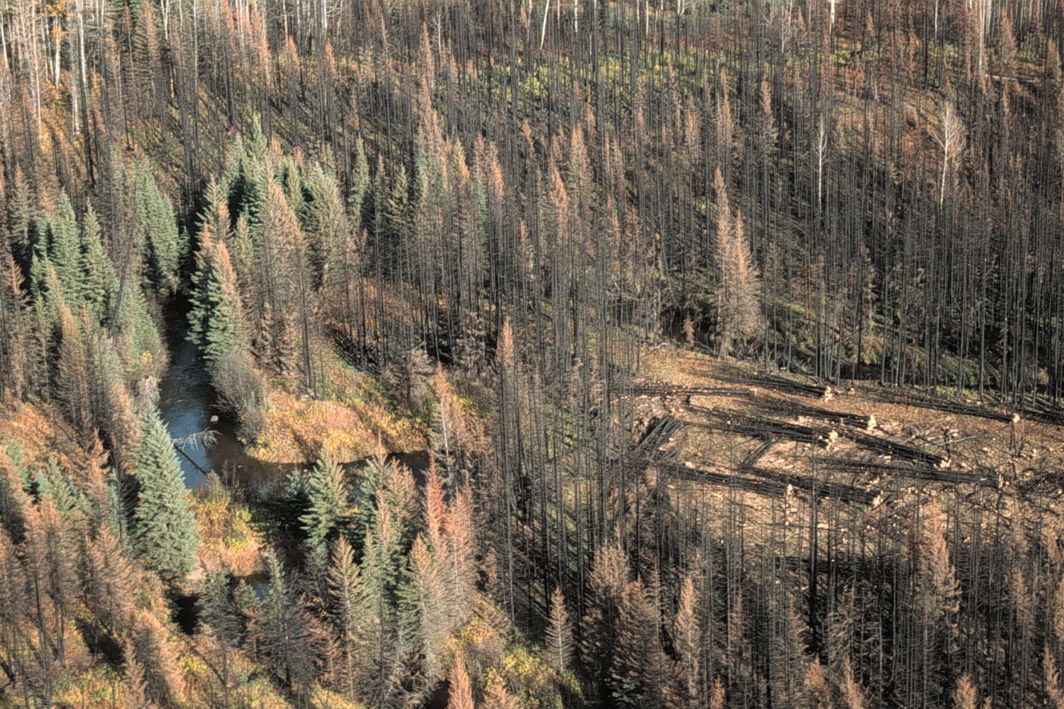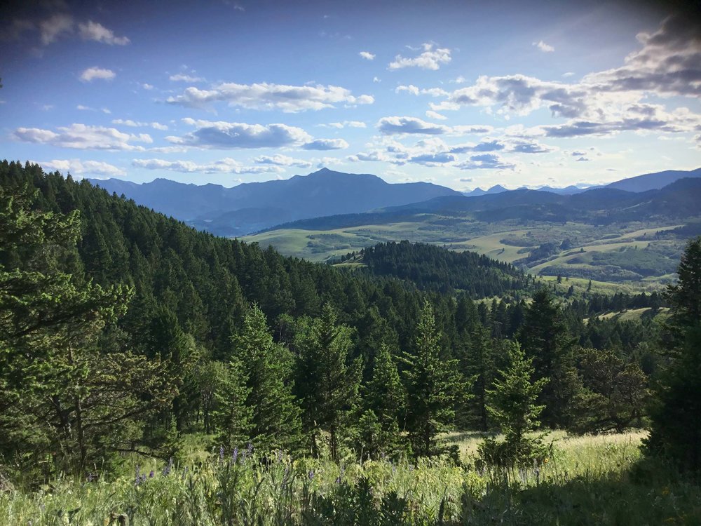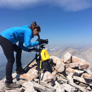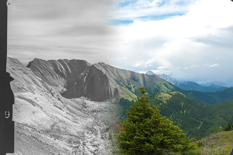
This report surveys the research participation, challenges, accomplishments, and contributions the Visual Applications Team made to the overall Landscapes in Motion (LiM) project. Based at the University of Victoria’s School of Environmental Studies, scientists from the Mountain Legacy Project (MLP) formed the Visual Applications Team. With expertise in repeat photography, analysis of historic and modern images, and access to an extensive collection of historic imagery – 1888 to the 1950s – MLP was an excellent fit with the LiM study area. The LiM project provided both resources and collaboration that helped MLP researchers develop an end-to-end process for visualizing, classifying, and quantifying landscape change as seen in images from the study area. This is a signal accomplishment: the development of new software unlocks the potential of a large collection of oblique (ground level) photographs. One of MLP’s key goals as part of the LiM project was to generate georeferenced viewsheds of land cover classes identified in the historic images. Through development of MLP’s Image Analysis Toolkit (IAT) this goal was realized. This report details the development behind three key IAT process that made this possible: The Alignment Process, the Virtual Photograph Process, and the Viewshed Creation Process. Examples from the LiM study area in the SW Canadian Rocky Mountains are featured throughout.