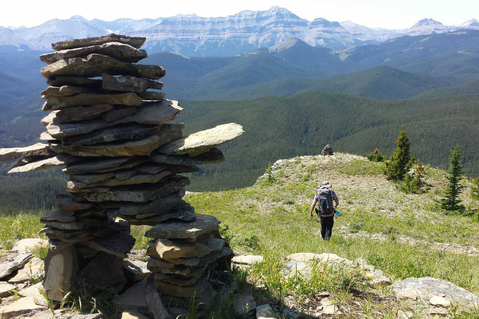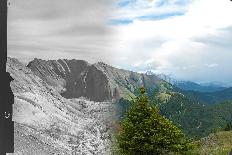
The Healthy Landscapes Program presents the accomplishments in visualizing and analyzing the Mountain Legacy Project images. Based on the world’s largest systematic historical mountain photographic collection, our teams have repeated more than 8,000 of these images to understand changes in mountain landscapes. The time depth—in many cases more than a century—gives us an unprecedented view of the historic landscape during a time of early settlement and disruptions to Indigenous land management practices.
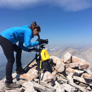
The challenges in working with high resolution digital oblique (from mountain tops rather than overhead) images have been substantially solved thanks for support from the Landscapes in Motion project. This allows unprecedented information to be used more readily in land management planning and decision-making and scientific research.
We will explain the Mountain Legacy Project collections, peer into the custom-software (Image Analysis Toolkit) for visualizing and analyzing the images, and focus in particular on recent developments in rectifying these images for use directly with GIS.