While the field crews are kicking up dust, flinging mud, swatting bugs, walking game trails, and cooking some really, really good dinners, a quieter kind of work continues. The sweat and ingenuity of past field crews now lives in our databases, and the office-based biologists are constructing meaning from this raw material. To bolster our roster, we brought on two fantastic new biologists. Let’s get to know them and look forward to what they’ll be discovering!
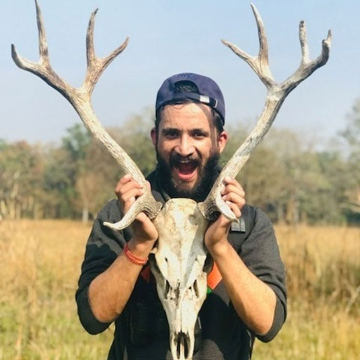
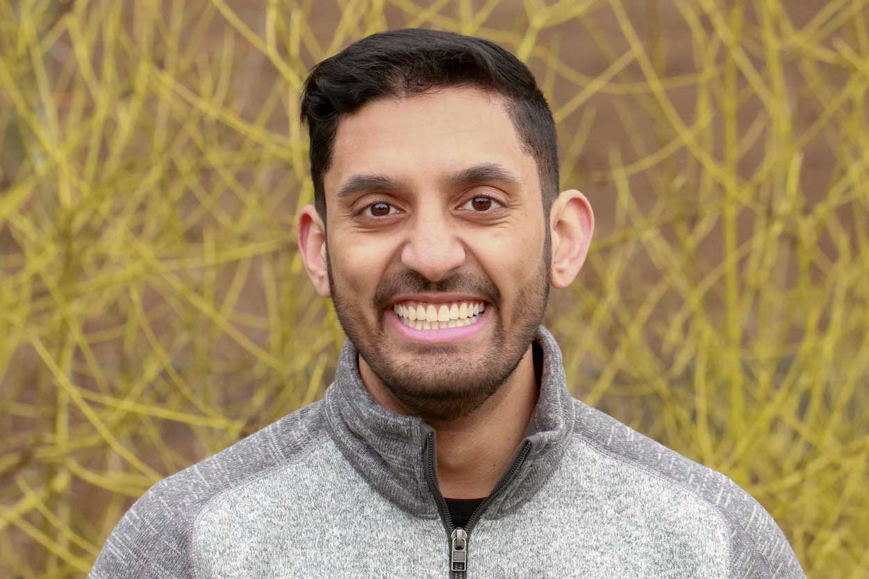
Bijaya earned a Bachelor’s degree in forestry from Tribhuvan University in Nepal, and his Master’s in ecology at the University of Alberta. In Dr. Erin Bayne’s research group, Bijaya investigated how retention-based forest harvesting practices, including stubbing and understory protection, influence small mammal communities in Alberta’s boreal forests, with the goal of improving biodiversity conservation in managed forests.
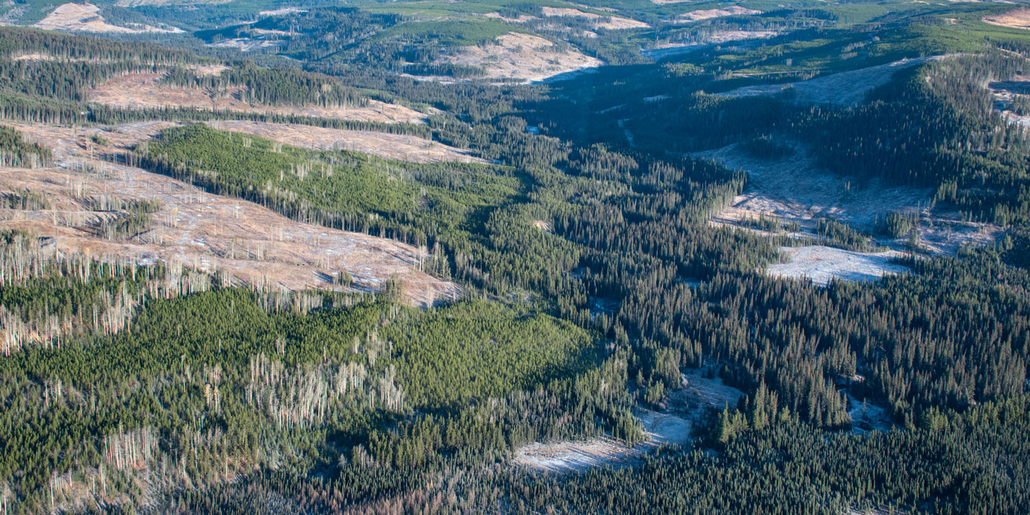
Currently, Bijaya is focusing on a new project that will use freely available Landsat imagery to predict vegetation data. This modeled data will be tested against the vegetation surveys that we had done for a previous project comparing fire, forest harvesting, and caribou use areas to see how good of a proxy this imagery is. Once this process is understood, we can apply our camera trap data to discover how different wildlife respond to the habitat characteristics that can be extracted from the Landsat imagery.
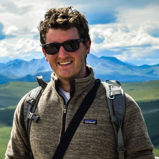
Dr. Tyler Jessen
Likes: hiking, photography, travel, long sword fencing
Song recommendation: Sultans of Swing by Dire Straits
Tyler’s education took him from the California coast to northern Canada. He got his Bachelor’s at UC Santa Cruz with a mix of SCUBA diving, mountain lion camera traps, and finally a thesis on tree squirrels. It was his Master’s at the University of Calgary with Marco Musiani that brought him to the Northwest Territories, non-invasively studying grizzly bears using a tree-less variant of the methods our Grizzly Bear team uses. For Tyler’s PhD, it was back to the Pacific coast, this time at the University of Victoria, to work with the Kitasoo Xai’xais First Nation to find out what was happening with coastal mountain goats.
His main focus is a project that is using a network of cameras to estimate the densities of moose, deer, and elk, in the hopes of replacing aerial surveys with something safer, less expensive, and at least as accurate. The data has already been collected, and millions of images classified. Now it’s Tyler’s turn to get the estimates for those species. He will actually be running the analysis several different ways and comparing the results – part of the project is determining which protocol and analysis method gives the best estimate for the least resources.