Researchers from the University of Calgary, University of Saskatchewan, Trent University and Foothills Research Institute Grizzly Bear Research Program were selected as recipients of a 2010 ERDAS Award for Best Scientific Paper in Remote Sensing.
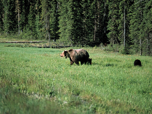
Julia Linke, Greg McDermid, Adam McLane, David Laskin, and Mryka Hall-Beyer from the University of Calgary; Steven Franklin from Trent University; Alysha Pape from the University of Saskatchewan; and Jerome Cranston from the Foothills Research Institute Grizzly Bear Program will be recognized for their contributions to remote sensing science at a conference in the United States this spring. Ms. Linke, a PhD Candidate in the Department of Geography, University of Calgary, led a study investigating the use of remote sensing and other geographic technologies for monitoring grizzly bear habitat in west-central Alberta, Canada. The award was presented by the American Society for Photogrammetry and Remote Sensing, who will recognize Linke and her colleagues at its annual meeting in San Diego, California on April 28.
The American Society for Photogrammetry and Remote Sensing is a scientific organization designed to help advance knowledge and application remote sensing, GIS, and other related technologies. It was founded in 1934 and serves over 7,000 members worldwide.
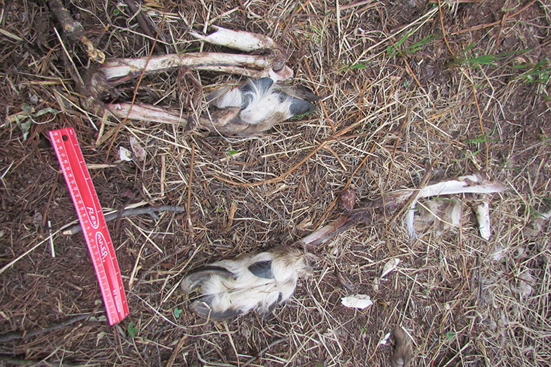
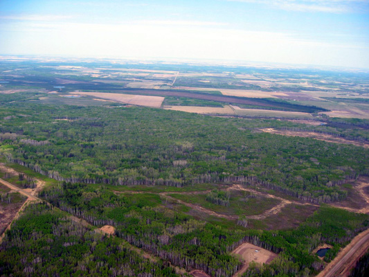
The research, which has been funded by the Natural Sciences and Engineering Research Council, Alberta Sustainable Resources Development, Alberta Ingenuity and a series of industrial sponsors of the Foothills Research Institute Grizzly Bear Research Program, focused on the development of strategies for tracking landscape changes using satellite remote sensing technologies within a geographic information system (GIS). The work solved a number of complex issues, including the elimination of errors caused by system noise, and the accommodation of various geographic data models. In the award-winning paper, Ms. Linke and her colleagues applied the technique to track landscape changes occurring across Alberta’s threatened grizzly bear range. The research helps establish reliable methods of landscape monitoring using satellite remote sensing, and is expected to contribute towards environmental monitoring and conservation initiatives underway all over the world.
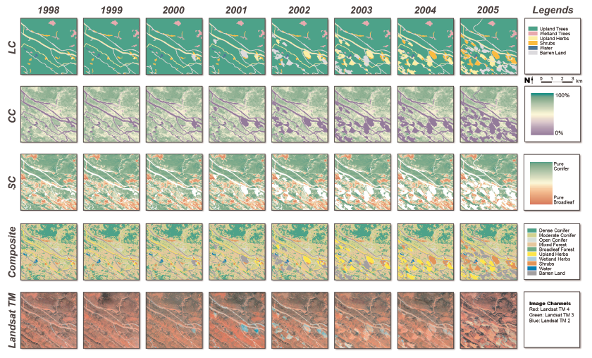
The graphic below portrays various types of landscape changes occurring across a small (5 x 5 km) portion of Linke et al.’s study area, including changes in land cover (top), crown closure (second), tree species (third), and grizzly bear habitat (fourth) between 1998 and 2005. The bottom images show the landscape as it appears in unprocessed satellite imagery.
For more information contact Dr. Greg McDermid, Assistant Professor, Department of Geography, University of Calgary at mcdermid@ucalgary.ca