Article published in Photogrammetric Engineering and Remote Sensing. Citation and abstract only.
Abstract
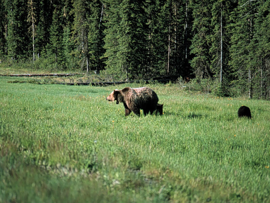
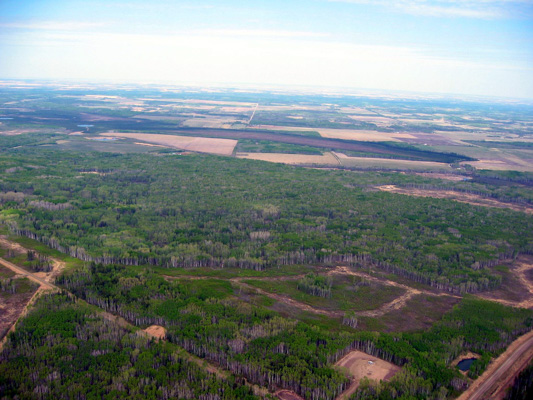
Remote sensing plays a key role in landscape monitoring, but our handling of these data in a multi-temporal time series is not yet fully developed. Of particular concern is the presence of spatial and thematic errors in independently created maps that distort measures of landscape pattern and constrain the reliability of change analysis. In addition, there is a need to incorporate continuous attributes of cover gradients for flexible map representations that support a variety of applications. In this paper, we present a framework for generating temporally and categorically dynamic land-cover maps that provide such a reliable and adaptable foundation. The centerpiece is a spatio-temporal disturbance-inventory database, created through semi-automated change detection and conditioned with boundary-matching procedures, which can be used to backdate and update both continuous and categorical reference maps. We demonstrate our approach using multi-annual Landsat imagery from a forested region in west-central Alberta, Canada, between the years 1998 and 2005.
Citation
Linke, J., McDermid, G. J., Laskin, D. N., McLane, A. J., Pape, A. D., Cranston, J., Hall-Beyer, M., & Franklin, S. E. (2009). A disturbance-inventory framework for flexible and reliable landscape monitoring. Photogrammetric Engineering and Remote Sensing, 75(8), 981–995. doi:10.14358/PERS.75.8.981