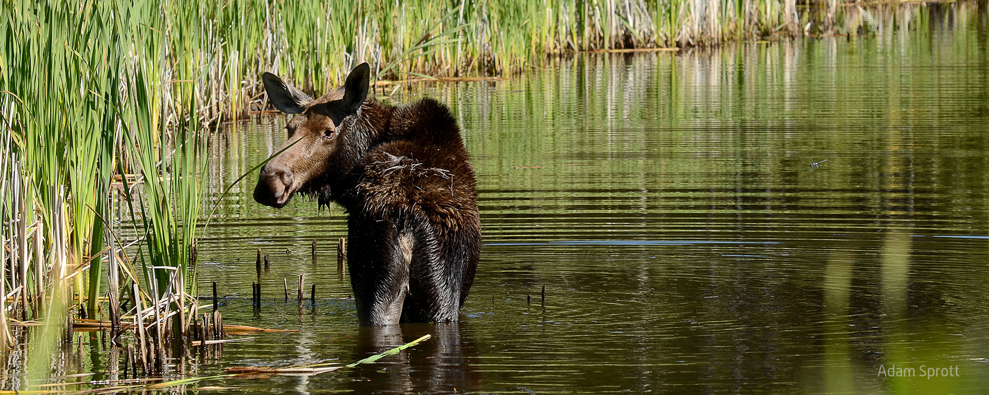
Moose Response to Disturbance in West-central Alberta
This Caribou Program project examines how moose respond to different re-vegetation trajectories after disturbance. This will give re-vegetation prescriptions that favour moose less, and therefore are less of a problem for caribou.
This project in the Little Smoky, A la Peche, Redrock-Prairie Creek, and Narraway caribou ranges will look at variables like ecosites, vegetation height, and other habitat and landscape characteristics. We will use moose GPS collar data to figure out which re-vegetation prescriptions after disturbance like forest harvesting and seismic lines moose are more likely to avoid.
Disturbance such as forest harvesting and cutblocks replaces old growth habitat preferred by caribou with early seral stage re-vegetation that tends to draw other ungulates and their predators.
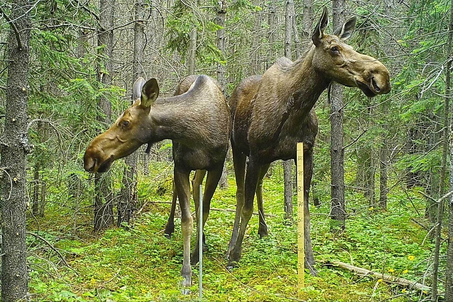
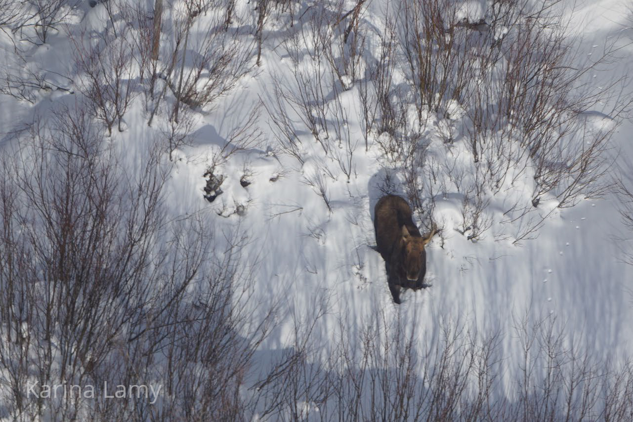
This Caribou Program project uses GPS collar data from moose in four west-central Alberta caribou ranges (see map above; data provided by our partners at the University of Montana) to determine which re-vegetation attributes moose favour. We’ll be looking at ecosites, vegetation heights, and several other landscape and habitat characteristics and matching those variables up with moose occupancy.
We’ll be making maps that show the relative probability for moose selection based on the landscape features so that land managers can factor in the apparent competition effect of moose on caribou when they are making site prescriptions.
This extends previous work on restoration prioritization and is an important companion project to our ongoing work that looks at deer use of cutblocks. Eventually, these results will be integrated into our webtools so that end users can see how adding or restoring landscape features will influence habitat quality for moose.

Moose GPS data prepared and ready for analysis.
The team is processing cutblock data.
Report for partners drafted
