Article published in the Canadian Journal of Remote Sensing. Citation and abstract only.
Abstract
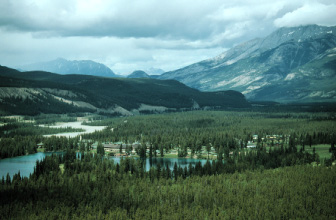
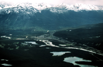
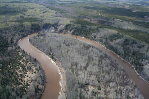
Landscape metrics used to quantify landscape structure and pattern over time and space are increasingly required in wildlife habitat analysis and other applications in environmental management, planning, and research. In such analyses, the spatial attributes of either individual land cover classes or the entire landscape mosaic consisting of multiple land cover classes can be described by computing the respective class-and landscape-level landscape metrics. Recent studies have suggested that a parsimonious suite of independent landscape metrics, or landscape structure gradients, may be useful descriptors of spatial variation over various natural landscapes and that some of these parsimonious gradients may be fundamental to most landscape configurations as guided by the universality of the gradients (percentage of landscape or land cover classes a structure gradient occurs in), consistency (the correlation of principal component loadings of like-structure gradients across different land cover classes), and strength (average variance explained by the structure gradient across land cover classes). Landscape structure gradients can be extracted using separate principal components analyses of a list of class-and landscape-level landscape metrics obtained from land cover maps derived from geographic information system (GIS) databases or remote sensing image classifications. In this study, we examined the landscape structure gradients in the Foothills Model Forest, which is located in the Canadian Rocky Mountains Yellowhead Ecosystem, Alberta, Canada, and interpreted differences in quantified gradients of landscape structure using satellite image classification products before and after they were generalized into “polygon-like” maps by smoothing. We used 195 square (5.4 km X 5.4 km) sub-landscapes to ensure an adequate sample size for statistical testing. The class-level analysis resulted in the identification of five consistent structure gradients universally present across the eight land cover classes together explaining the majority of all class-level variation (on average about 53% for all land cover classes). The landscape-level analysis identified that a parsimonious suite of eight fundamental landscape-level structure gradients explained approximately 85% of the variance.
Read the full article here.
Citation
Linke, J., & Franklin, S. E. (2006). Interpretation of landscape structure gradients based on satellite image classification of land cover. Canadian Journal of Remote Sensing 32(6), 367-379. doi:10.5589/m06-031