Abstract
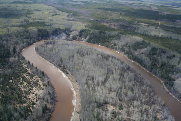
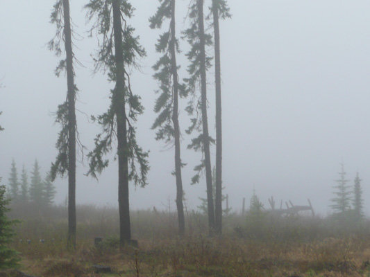
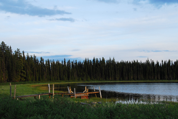
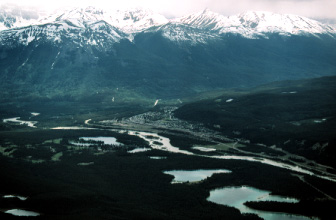
Wildlife habitat mapping strongly supports applications in natural resource management, environmental conservation, impacts of anthropogenic activity, perturbed ecosystem restoration, species-at-risk recovery and species inventory. Remote sensing has long been identified as a feasible and effective technology for large-area habitat mapping. However, existing and future uncertainties in remote sensing will definitely have a significant effect on the relevant scientific research. This article attempts to identify the current challenges and opportunities in remote sensing for large-area wildlife habitat mapping, and accordingly provide possible solutions and directions for further research.
Read the full article here.
Citation
Wang, K., Franklin, S. E., Guo, X., He, Y., & McDermid, G. J. (2009). Problems in remote sensing of landscapes and habitats. Progress in Physical Geography, 33(6), 747-768. doi:10.1177/0309133309350121