Abstract
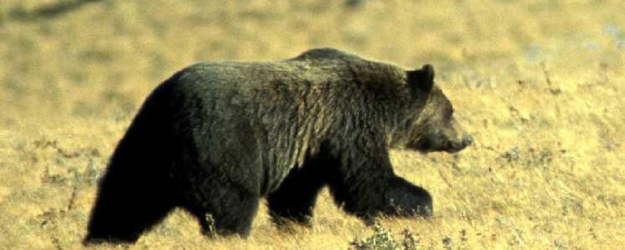
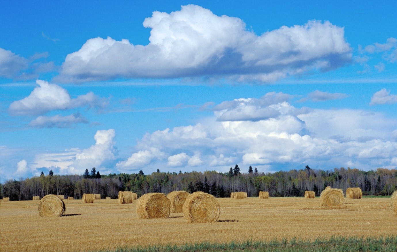
Habitat loss and human-caused mortality are the most serious threats facing grizzly bear (Ursus arctos L.) populations in Alberta, with conflicts between people and bears in agricultural areas being especially important. However, the agricultural land being classified as a single class in current grizzly bear habitat maps limits the understanding of the bear habitat in agriculture regions. The objectives of this research were to find the best possible classification approach from a limited selection of methods for determining multiple classes of agricultural and herbaceous land cover and to create land cover maps of agricultural and herbaceous areas which will be integrated into existing grizzly bear habitat maps for western Alberta. Three different object-based classification methods (one unsupervised method and two supervised methods) were analyzed with these data to determine the most accurate and useful method. The best method was the supervised sequential masking (SSM) technique, which gave an overall accuracy of 88% and a kappa index of agreement (KIA) of 83%. When combined with bear global positioning system (GPS) location data, it was discovered that bears in agricultural areas were found in the grass – forage crops class 77% of the time, with the small grains and bare soil – fallow fields classes making up the rest of the visited land cover. The bears were found in these areas primarily in the summer months.
Citation
Collingwood, A., Franklin, S. E., Guo, X., & Stenhouse, G. (2009). A medium-resolution remote sensing classification of agricultural areas in Alberta grizzly bear habitat. Canadian Journal of Remote Sensing, 35(1), 23–36. doi:10.5589/m08-076