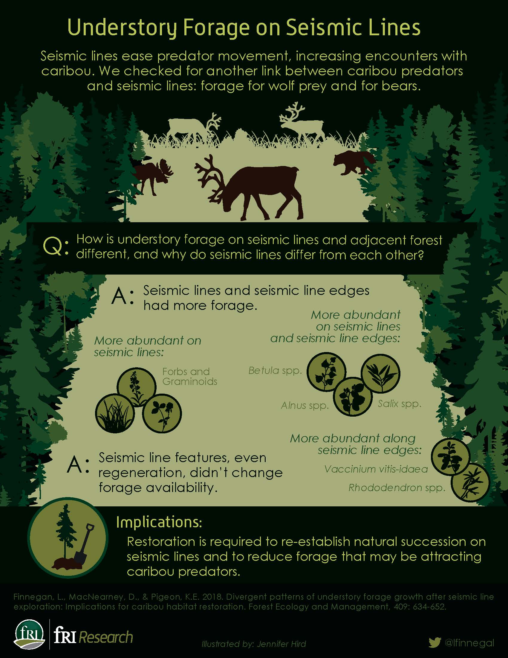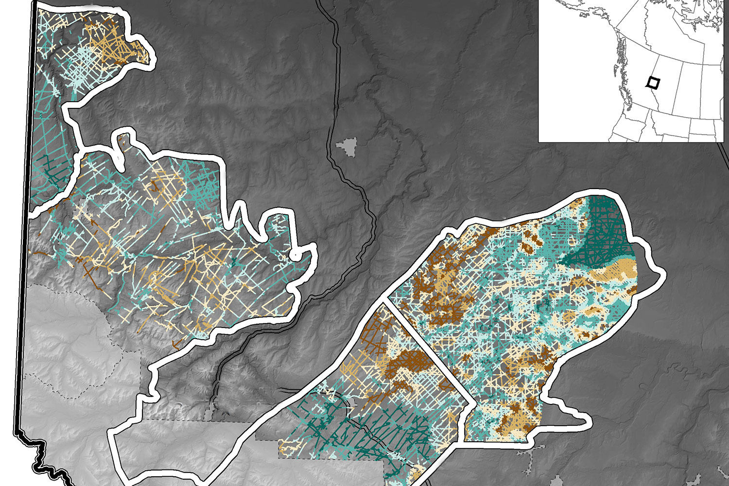
Within caribou ranges in west-central Alberta, there are 15,587km of seismic lines with mean densities of 1.45km/km2. In 2013, the fRI Research Caribou Program, in collaboration with the Grizzly Bear Program, started a project that combined LiDAR and GPS collar data from caribou and their predators to identify seismic lines that could be prioritized for restoration in caribou ranges of west-central Alberta.
This two page briefing note describes some of the published results from the project.