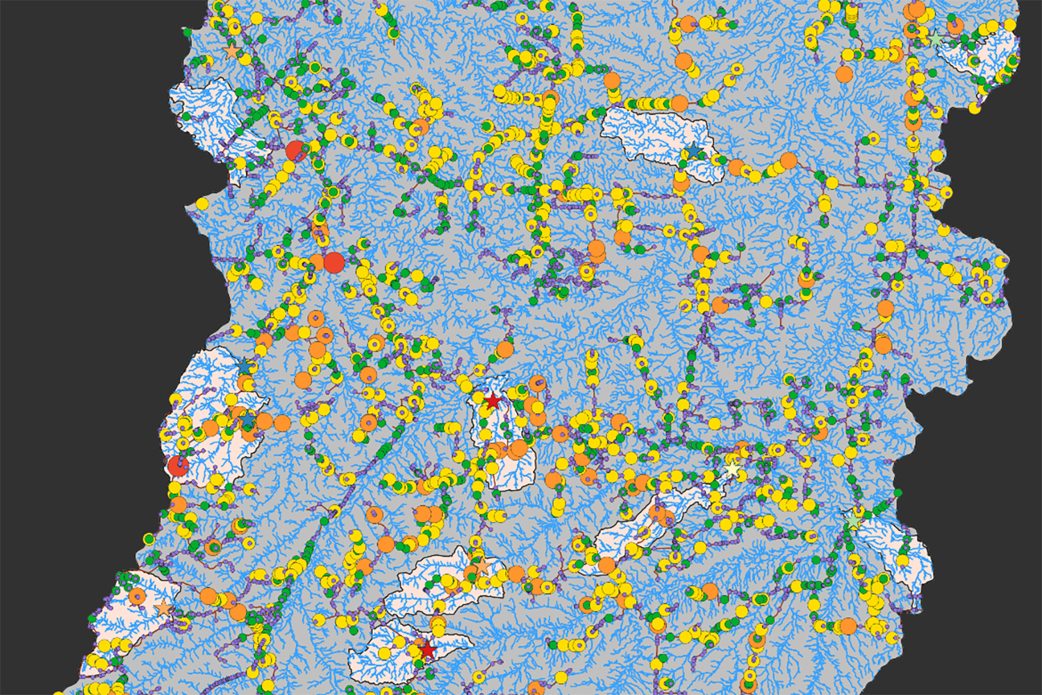
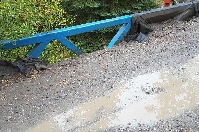
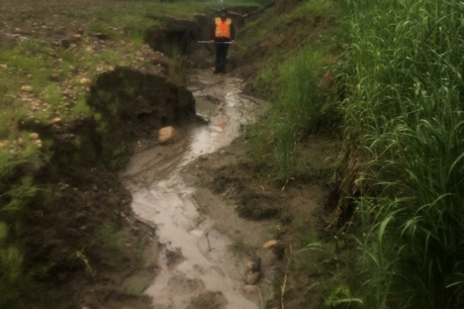
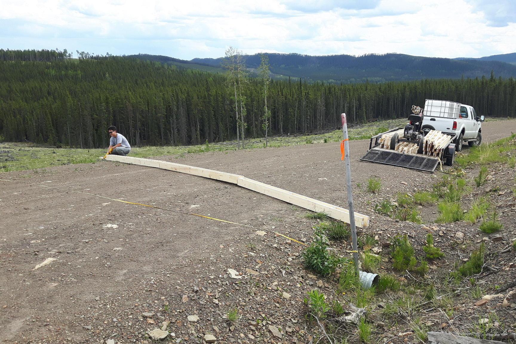
Parts 1 through 3 of this research notes series have focused on erosion, gullying and sediment delivery to streams in the Simonette watershed. In part 4, we discuss how we used the results of our research on erosion and connectivity processes in the Simonette to calibrate road erosion and sediment delivery models implemented in the Netmap extensions to ArcGIS developed by TerrainWorks.
Programs
Active Programs
Publications
Scientific Publications
Summaries and Communications
GIS Products
Audio-Visual
Business Documents
Subject
Animals
Natural Disturbance
Water & Fish
Resource Management
Socio-economics
//just links left to right


