


Paper presented at the Thirteenth Annual Conference on Geographic Information Systems in Vancouver, BC, 1999.
Abstract
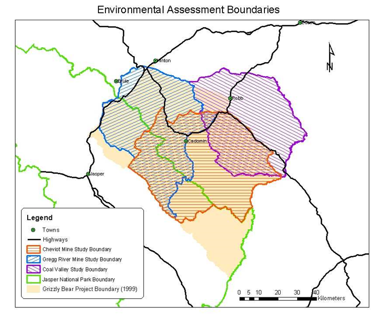
Grizzly bears are a focus of concern for wildlife management in the 60,000 square kilometer Yellowhead region of Alberta and British Columbia. Grizzly bears are an important indicator of ecosystem health in the region. This species roams large areas within their home range, and while managers attempt to gain a better understanding of their population status, there are ever-increasing human use pressures on the landscape. Existing GIS based models, which study the cumulative effect of human disturbance on grizzly bears, have been applied to direct research. These models include analyzing potential and actual habitat, identifying security areas, and predicting potential zones of movement for grizzly bears. By using a new technology, GPS radio telemetry collars, we will be able to compare model predictions with actual grizzly bear movement data collected on a 24-hour basis. These results will be used to validate and improve the existing models and lead us to a better understanding of grizzly bear movements and habitat use.
