GIS Services
Right from our organization’s start in the early 1990s, we have prioritized strong GIS capabilities to power our science. Our GIS team works closely with our biologists on many research projects to help organize, process, and manage spatial data, work out data sharing agreements with partners, and create scripts and tools to improve the researchers’ efficiency.
Program Lead
Julie Duval
This 3-year study will evaluate the potential of new forest management practices to benefit both woodland caribou and growth and yield.
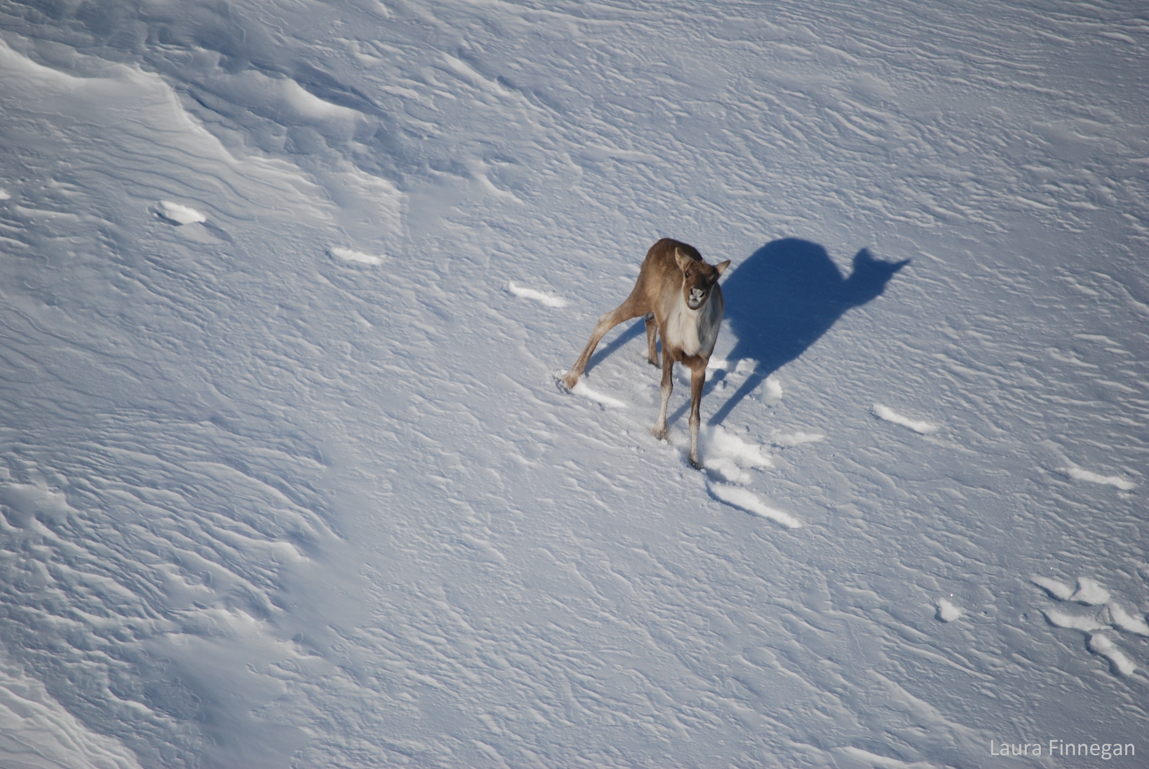
This project will identify caribou calving habitat and relate calf survival to predation risk and anthropogenic disturbance.

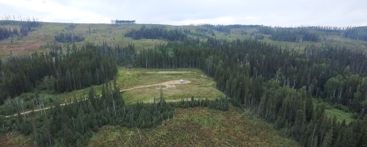
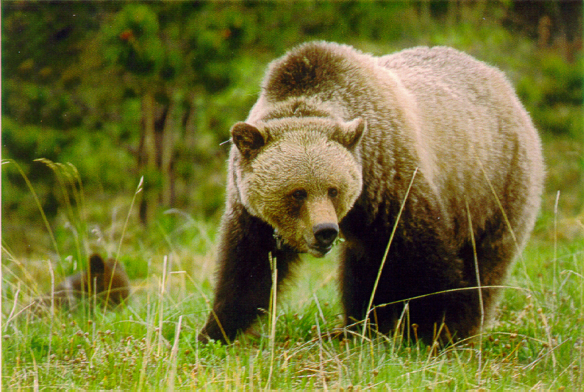
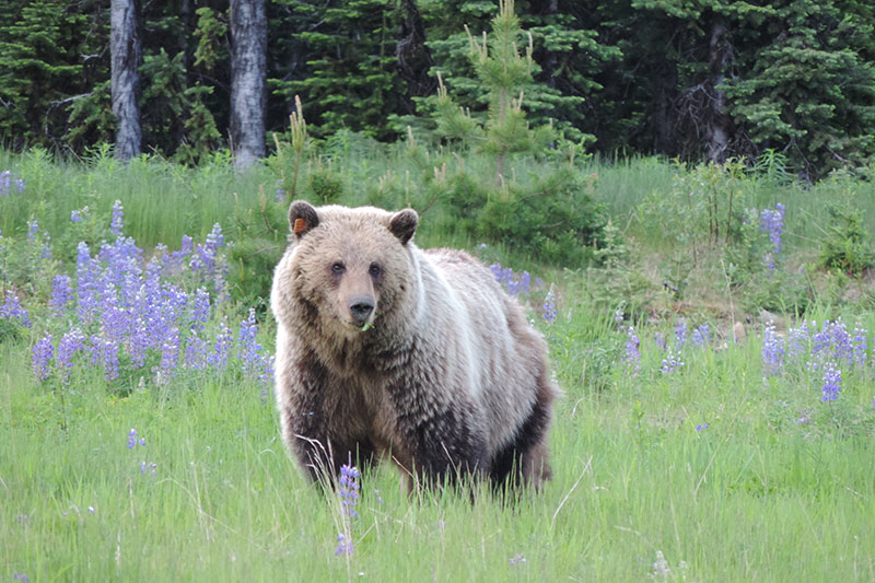
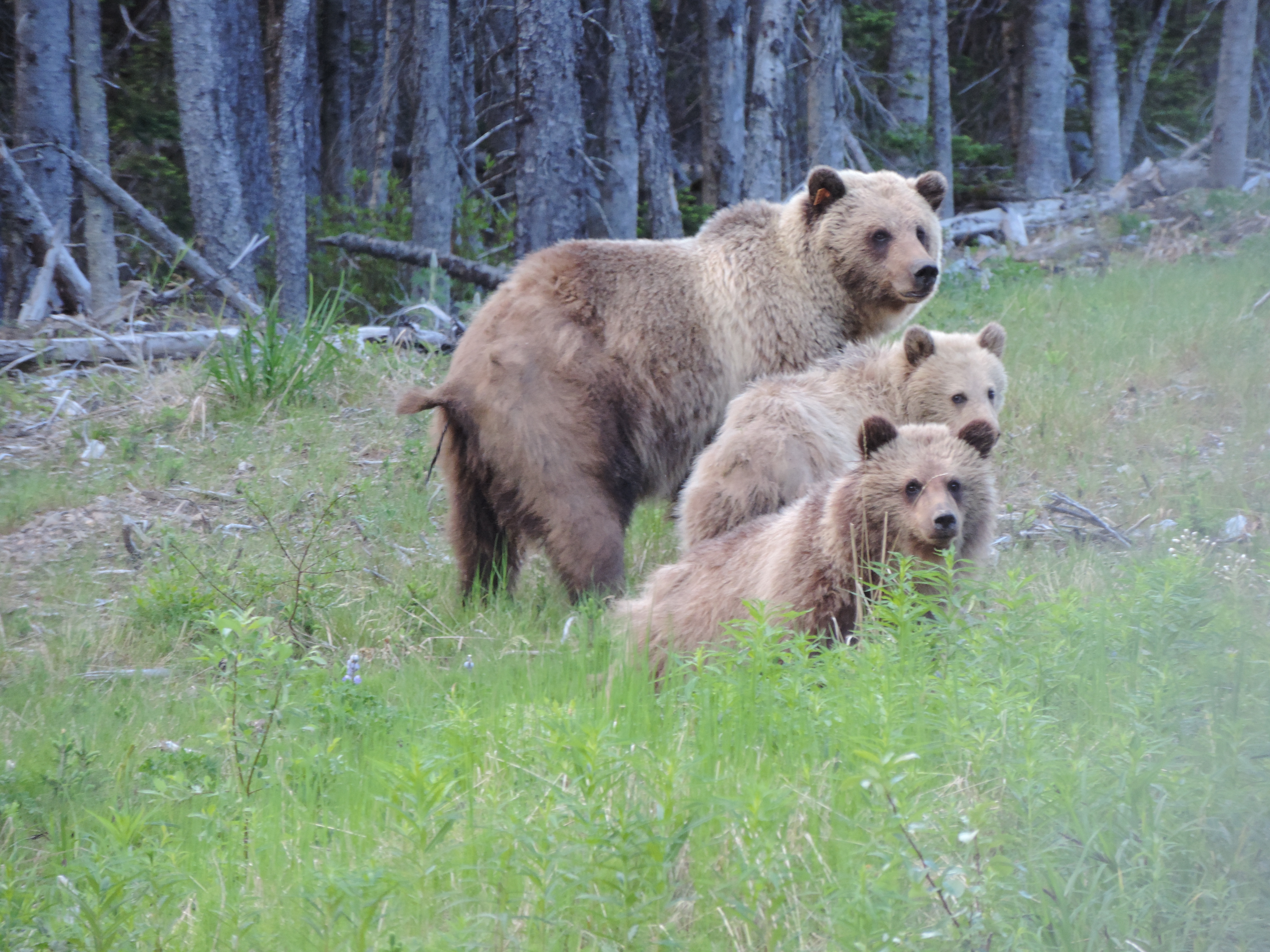
This DNA mark-recapture study uses hair snags to conduct the first ever estimate of the population of grizzly bears in BMA 7.
This DNA mark-recapture study uses hair snags to conduct the first repeat estimate of the population of grizzly bears in BMA 4.
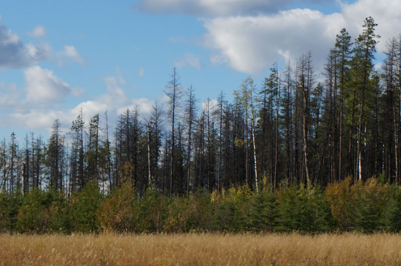
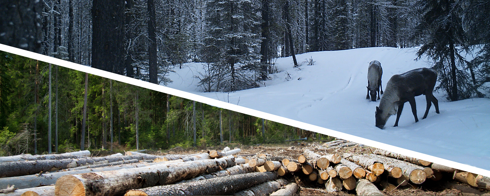
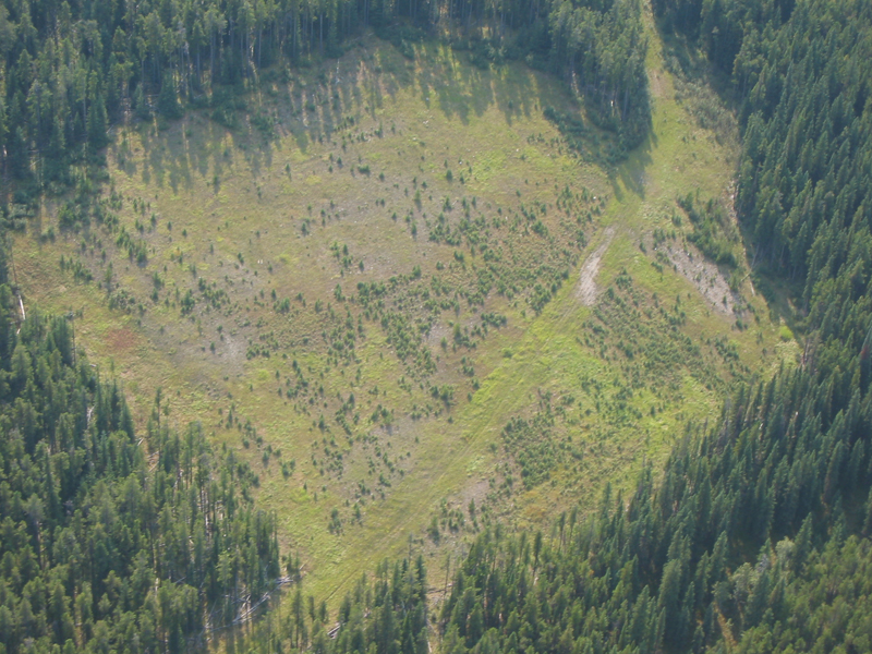
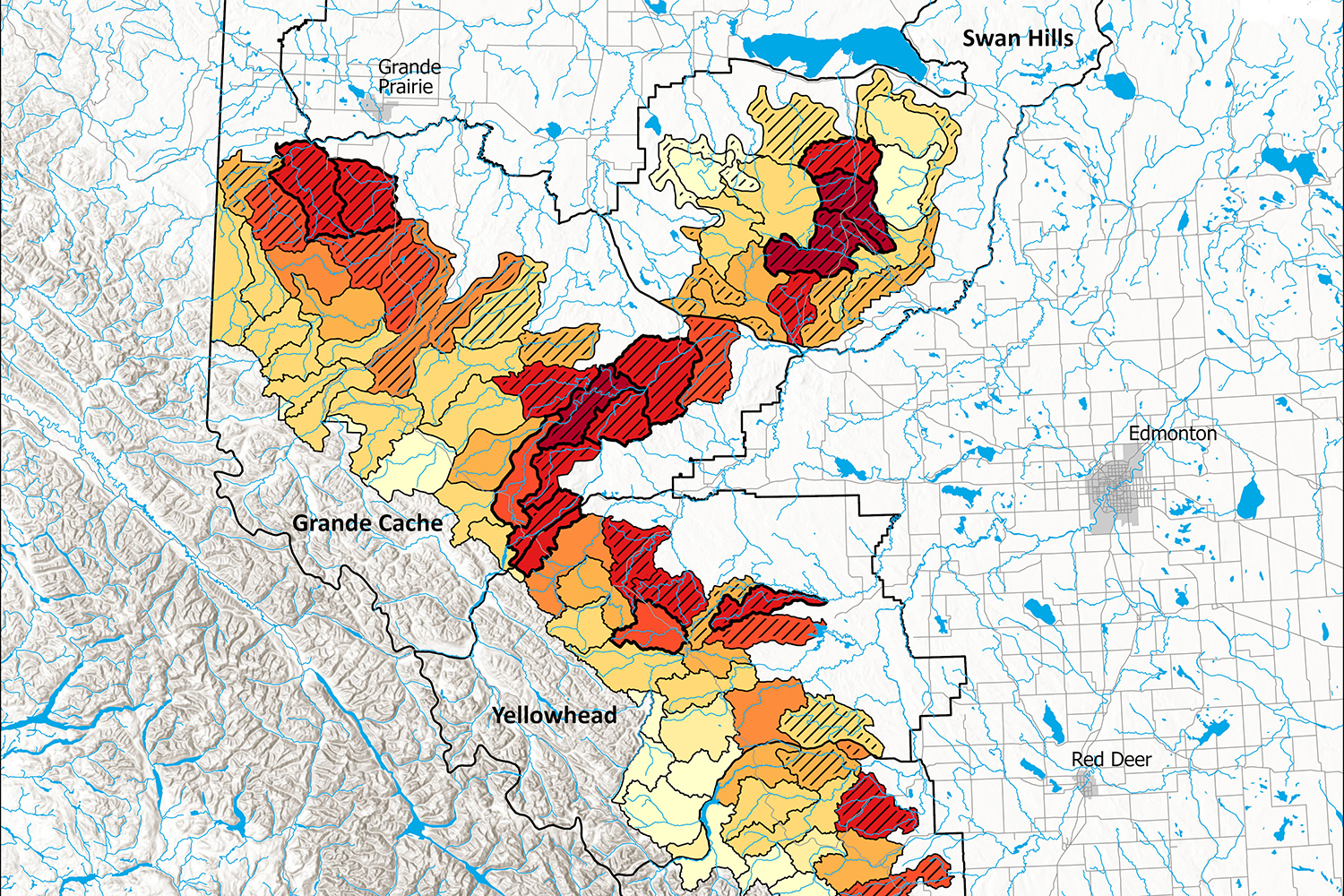
As a result of significant in-flights of mountain pine beetles coming from British Columbia in 2006 and 2009, as well as subsequent local production, there are widely distributed pine dominated stands throughout Alberta that have been significantly affected by MPB-caused mortality. Mortality is most prevalent from West-Central Alberta, in the Grande Prairie are and northwest of Manning.
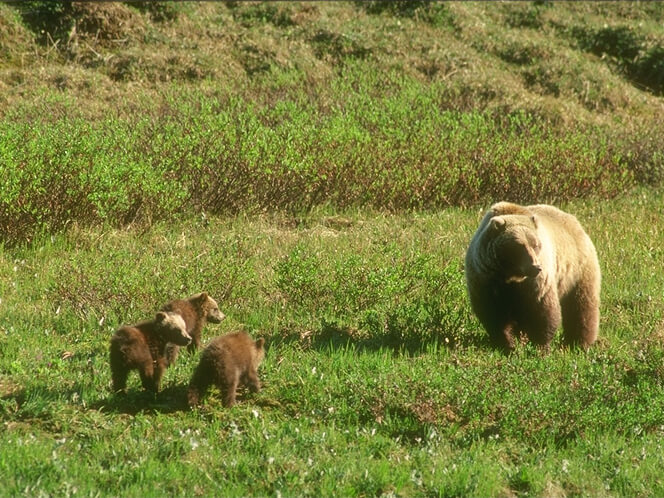
This project will improve our understanding of how forestry practice is affecting ungulates and how grizzly bears are responding.
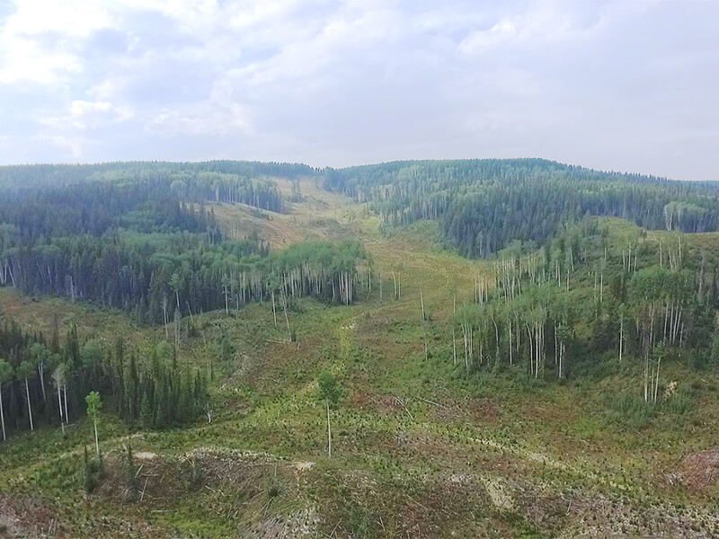
This project will evaluate and mitigate industrial impacts on west-central Alberta Caribou herds.
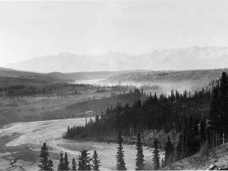
Uncovering a piece of history.
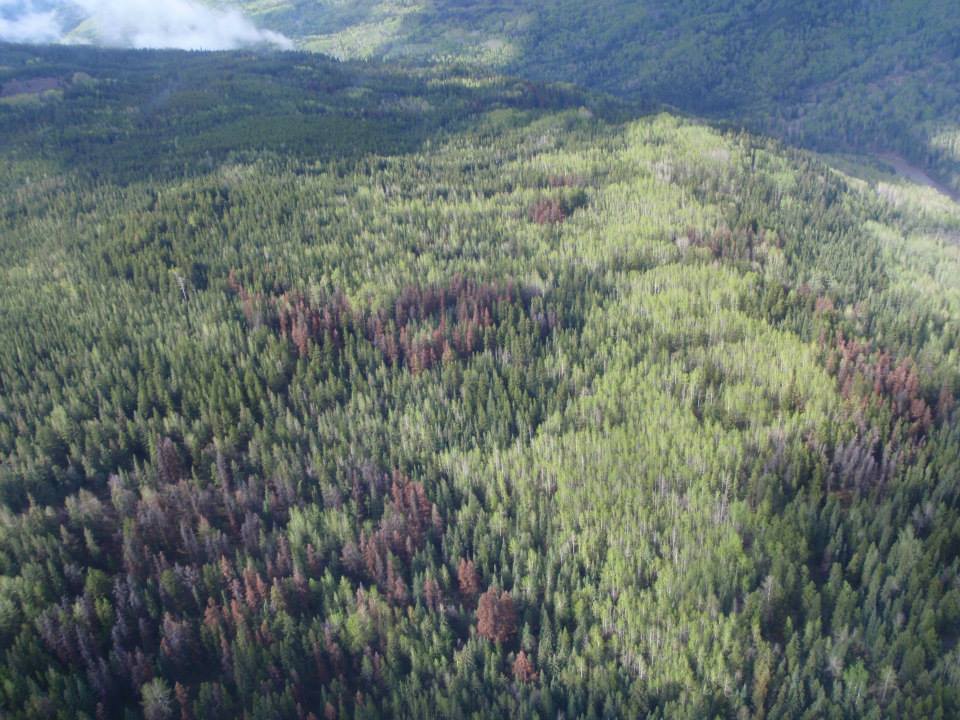
This project will determine how MPB-killed stands are impacting caribou and grizzly bear habitat.
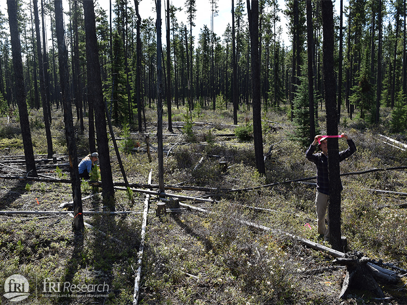
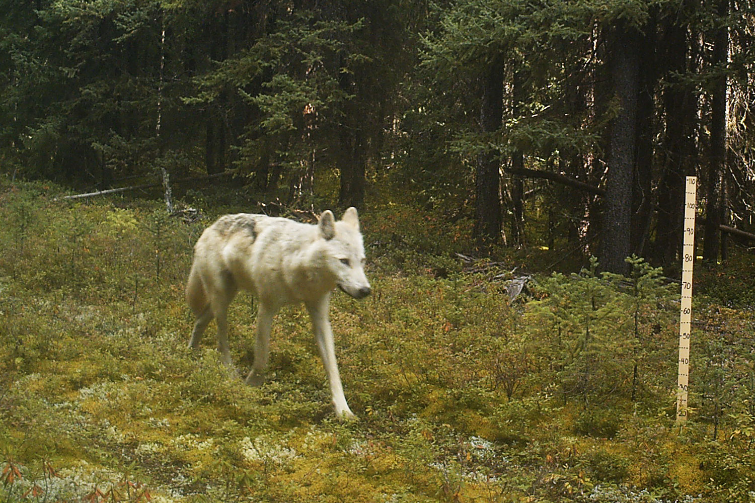
How are caribou affected by the roads and seismic lines criss-crossing their habitat?
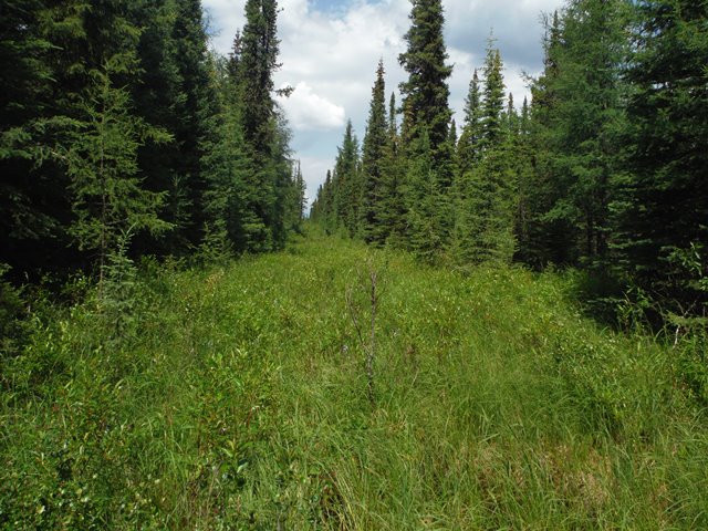
Starting in 2013, this project is looking at how caribou and wolf behaviour is related to cutlines.

A collaboration with the Environment Program at St’át’imc Government Services (SGS) to improve management of grizzly bears.
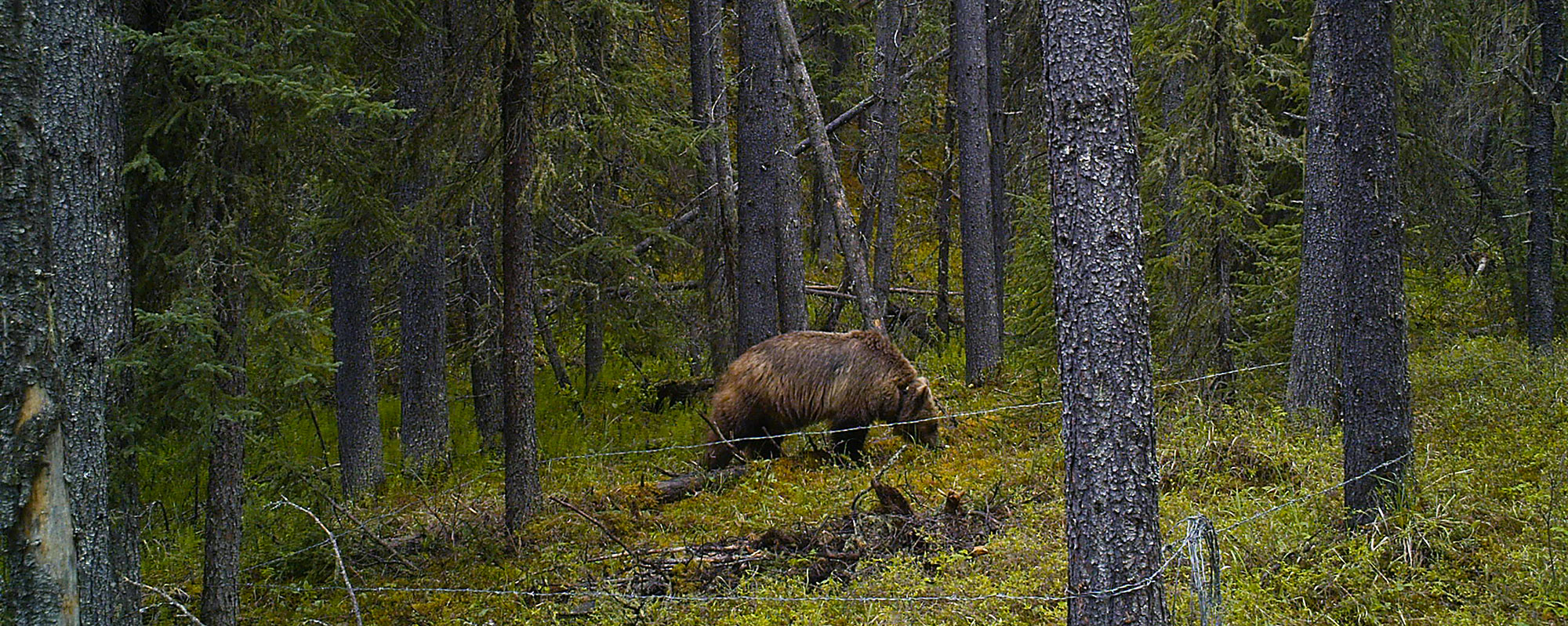
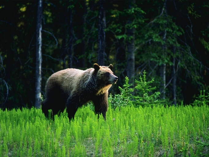
Collecting the DNA from scat is a non-invasive method of tracking grizzly bear populations.
This project will investigate whether new approaches to forestry can minimize impacts on resident grizzly bears.
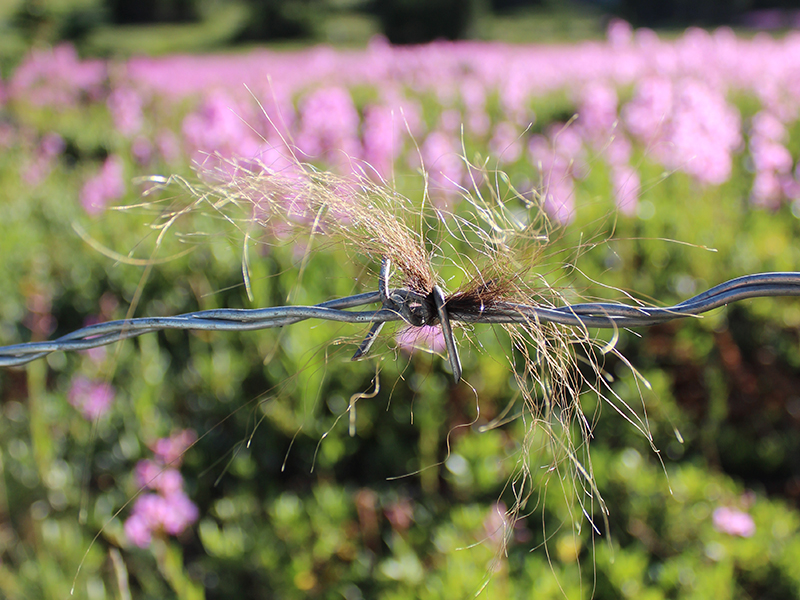
This project uses DNA from hair snags to create a population inventory of grizzly bears in BMA 3 and Jasper National Park.
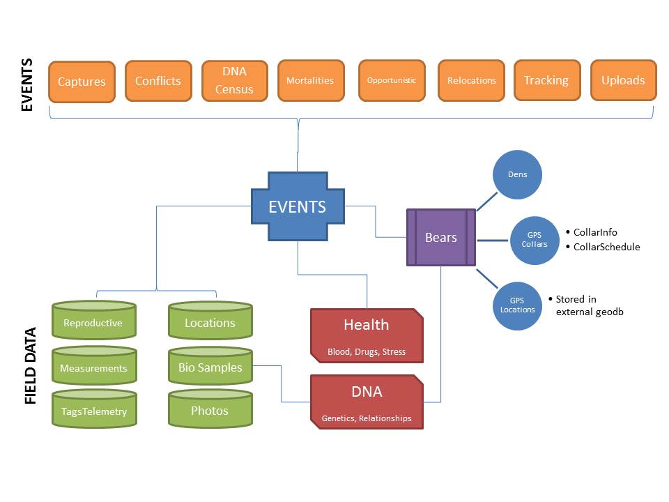
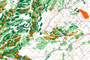
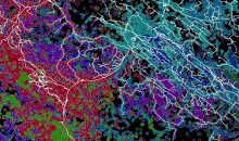
The GIS Program is centralizing and maintaining the Grizzly Bear Program's massive spatial database.
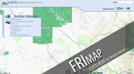
This was a product for exploring west-central Alberta. The platform that it used was deprecated.
This project will assist the oil and gas industry and land managers to better understanding the response of grizzly bears to pipelines.
This project develops population recovery targets based on habitat, and non-invasive techniques for monitoring grizzly bear reproductive performance.
This project will use new and existing data sets to produce tools for use in forest management planning related to grizzly bear and caribou habitat use.
This is a GIS tool developed by the fRI Research Grizzly Bear Program that regenerates the spatial grizzly bear food models developed by Dr. Scott Nielsen.
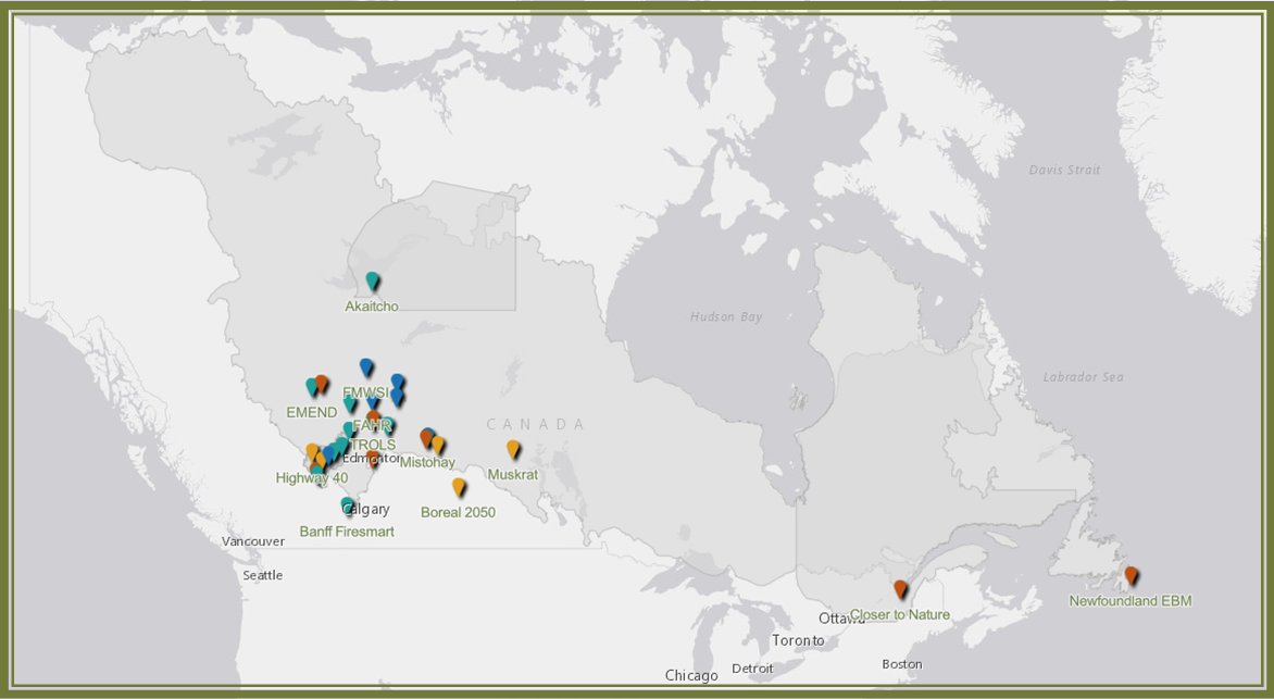
Interactive map to view case studies across Canada.
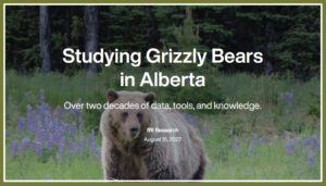
Over two decades of data, tools, and knowledge.
An ESRI Story Map about the online GIS tools to support caribou and their habitat.
A StoryMap about the GIS and Grizzly Bear Program's work to conserve grizzly bear's in Alberta.
Peer reviewed paper from the Caribou, GIS, and Grizzly Bear Programs.
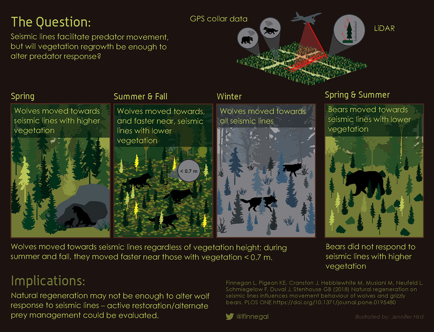
Graphical abstract for the paper, "Natural regeneration on seismic lines influences movement behaviour of wolves and grizzly bears."
An interactive map of where our programs and associations are conducting research.
ESRI StoryMap made for the AFPA by the Grizzly Bear Program
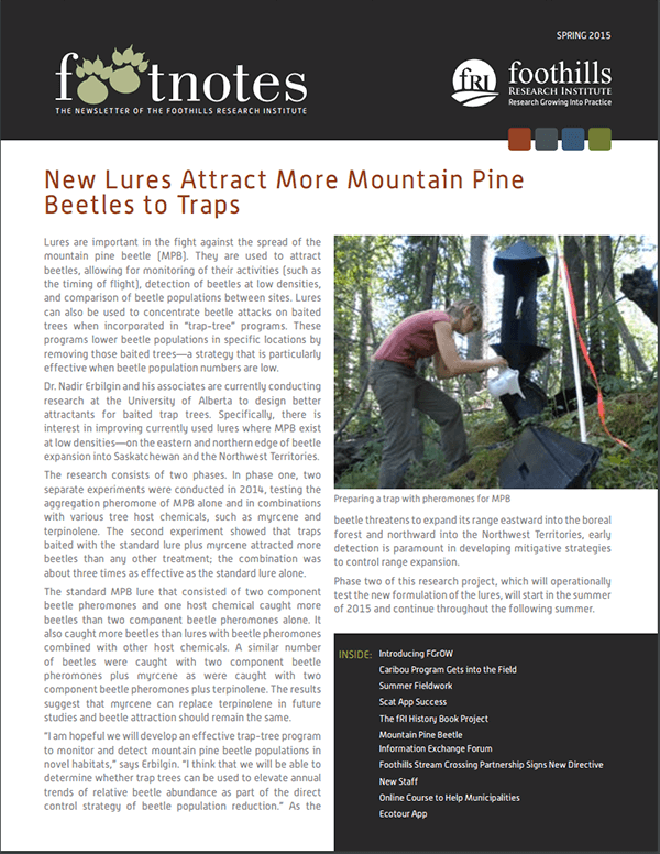
Spring 2015 newsletter from fRI
Thank you to all who applied. Applications are now closed.

Welcome to our new GIS Analyst!
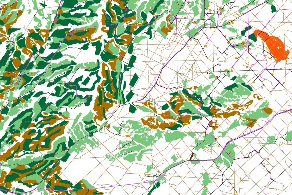
A feature of the GBTools GIS Product makes it easy to see which watersheds have high road densities, and how that has changed.

Recognizing and supporting the professional development of an excellent GIS Analyst.
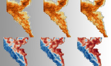
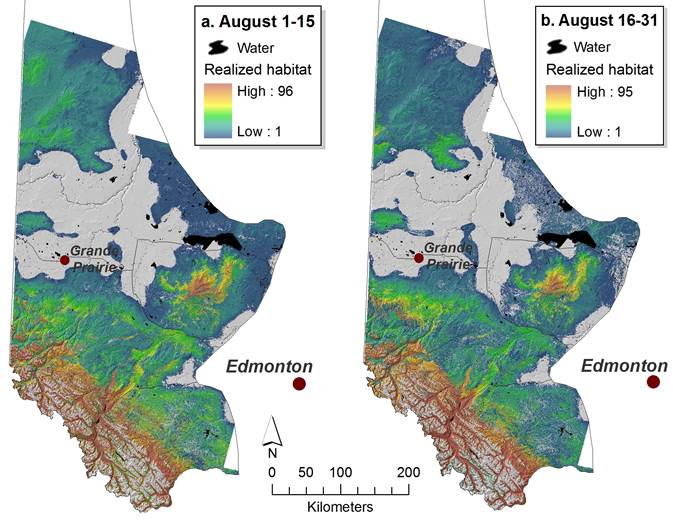
Dan Wismer describes and visualizes 18 years of grizzly bear habitat change.
Dan Wismer describes an update to the Grizzly Bear Tools.
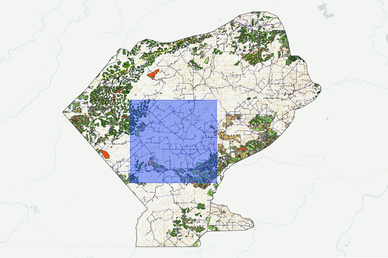
Dan Wismer, our GIS analyst describes a new online tool that lets users run management scenarios to see the effects on caribou habitat.
GIS analyst Dan Wismer describes new tools to automate data processing.
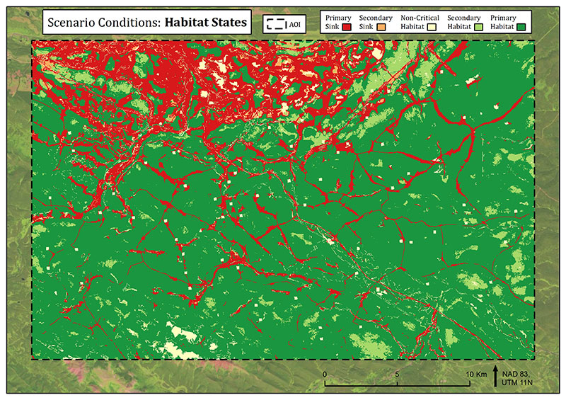
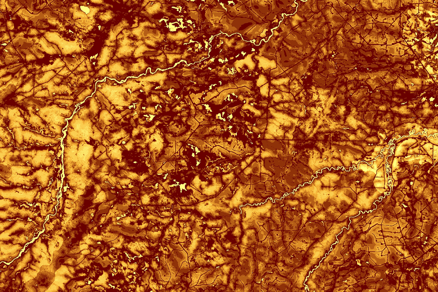
The tool for Habitat States, a metric that combines habitat quality and risk for grizzly bears, is getting an upgrade.

Julie Duval
Manager

Heather Daw
GIS Analyst
Featured Story Maps