


Abstract
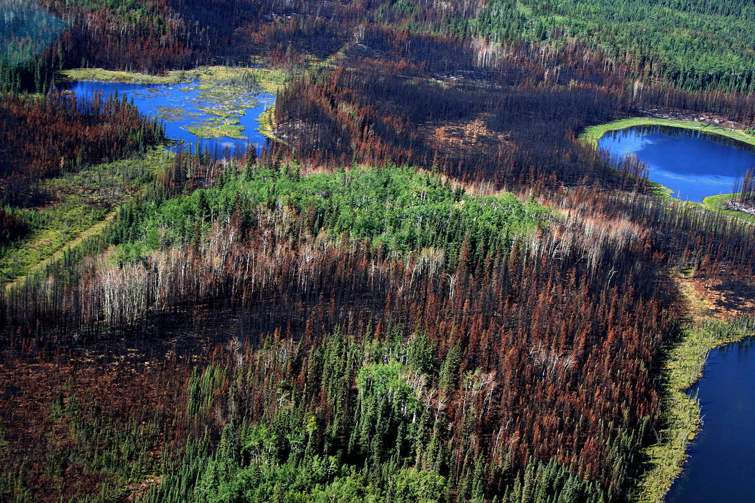
Under the auspices of ecosystem-based management, historical disturbance patterns are promoted as a means of providing benchmarks for ecosystem sustainability. The associated research in support of this strategy in the boreal forest has substantially increased our understanding of frequencies, sizes, shapes, and severities of wildfires. However, despite the fact that different spatial definitions of wildfires exist in both research and practice, we have not considered the significance or impact of those differences on observed patterns. This study addresses this gap by conducting a sensitivity analysis on the influence of 11 spatial definitions of a wildfire on six pattern metrics for 24 wildfires in the Foothills Natural Region of Alberta. The results suggest that all pattern metrics were sensitive to changes to wildfire delineation, but in particular the total amount of remnants, wildfire shape, and the relationship between pre-burn fuel types and the probability of burning. The results also suggest that simple mortality maps do not necessarily identify multiple disturbed patches within wildfires, an attribute undocumented by previous research. These pattern differences potentially correspond to some fundamental differences in perception of how and why wildfires burn and our understanding of the associated processes and biological responses.
To obtain a digital copy of this paper, please contact Dr. David Andison (andison@bandaloop.ca)
Citation
Andison, D.W. 2012. The influence of wildfire boundary delineation on our understanding of burning patterns in the Alberta Foothills. Canadian Journal of Forest Research. 42: 1253–1263.