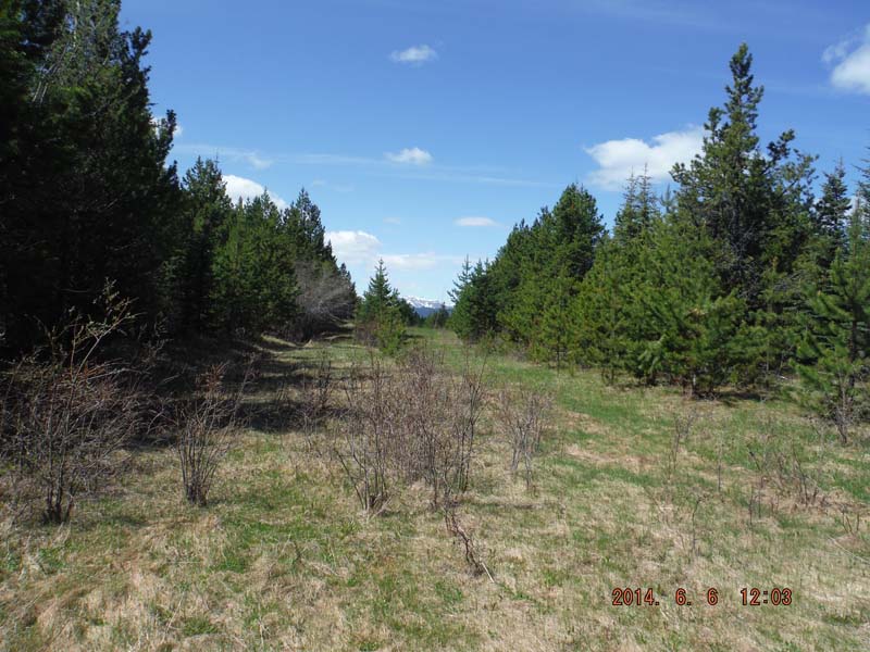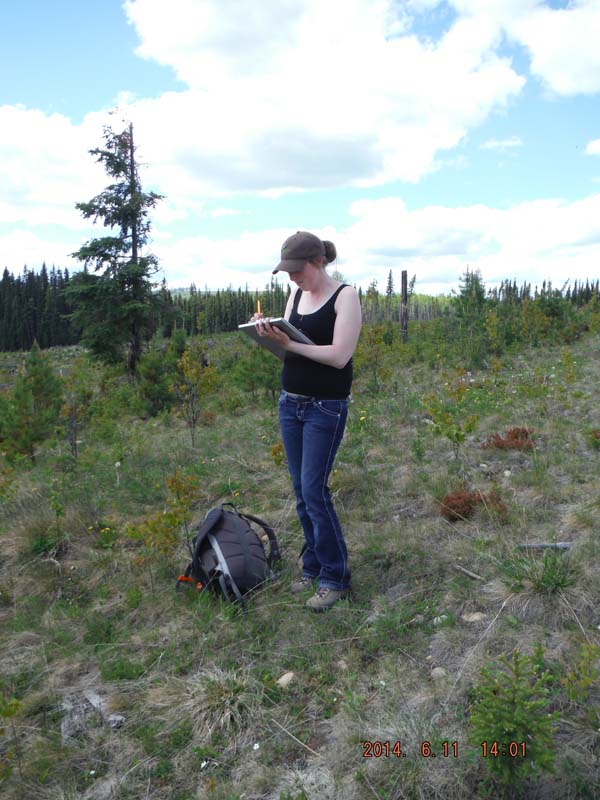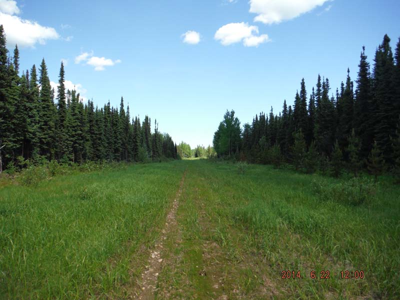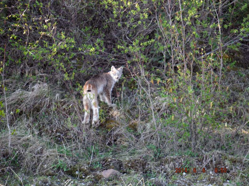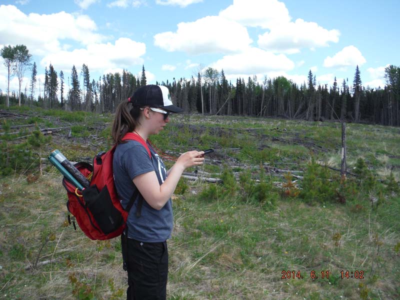
These are some photos from the Caribou Program’s ongoing project to analyze linear features in caribou habitat.
This project is using a combination of direct (field assessments, GPS telemetry) and indirect (LiDAR measurements of vegetation height on pipelines and old roads, health monitoring via fecal pellets) to help determine caribou response to linear feature disturbances at different stages of re-vegetation and how this varies across different natural sub-regions.