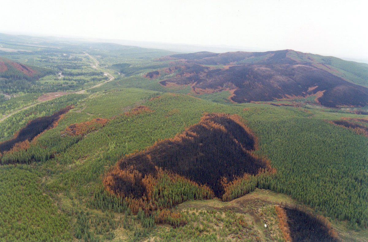
Land managers, policy-makers, regulators, and researchers need a better understanding of pre-industrial disturbance patterns over several centuries and tens of millions of hectares. Unfortunately, existing published research and wildfire datasets are insufficient to create a summary of pre-industrial fire regime attributes for more than a handful of relatively small areas in western Canada.
To address this gap, this project developed a first approximation summary of the pre-industrial (NRV) fire regime attributes of the western boreal forest of Canada based on the best available knowledge.The 125 million hectare study area represents the western Canadian boreal forest, bordered by the Rocky Mountains to the west, (mostly) the 62nd parallel to the north, the Manitoba Lakes area to the east, and the US border and/or the grassland interface to the south.
A .zip folder containing the necessary GIS shapefiles can be downloaded to accompany this report. These shapefiles represent long-term fire cycles (LTFCs), derived as a product for this project.
Relevant Metadata
Projection: Canada_Lambert_Conformal_Conic_LandWeb
Central_Meridian: -110
Standard_Parallel_1: 49
Standard_Parallel_2: 65
Latitude_Of_Origin: 40


