Abstract
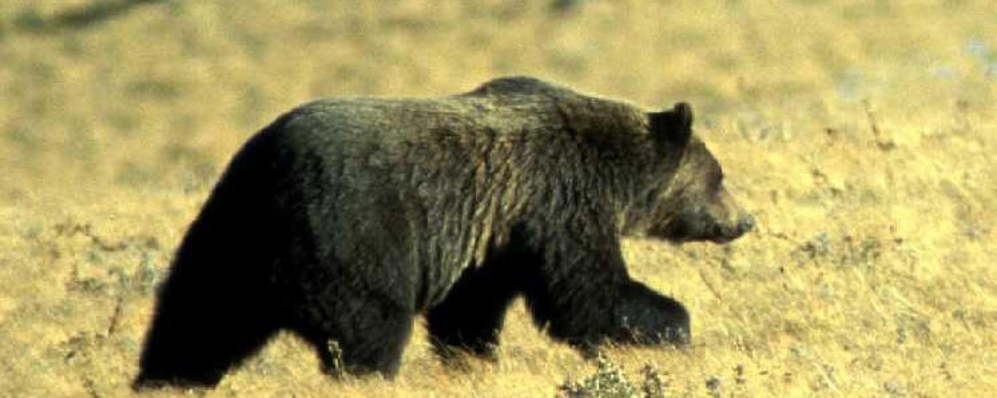
Habitat loss and human-caused mortality are the most serious threats facing grizzly bear (Ursus arctosi L.) populations in Alberta, with conflicts between people and bears in agricultural areas being especially important. For this reason, information is needed about grizzly bears in agricultural areas. The objectives of this research were to find the best possible classification approach for determining multiple classes of agricultural and herbaceous land cover for the purpose of grizzly bear habitat mapping, and to determine what, if any, spatial and compositional components of the landscape affected the bears in these agricultural areas. Spectral and environmental data for five different land-cover types of interest were acquired in late July, 2007, from Landsat Thematic Mapper satellite imagery and field data collection in two study areas in Alberta. Three different classification methods were analyzed, the best method being the Supervised Sequential Masking (SSM) technique, which gave an overall accuracy of 88% and a Kappa Index of Agreement (KIA) of 83%. The SSM classification was then expanded to cover six more Landsat scenes, and combined with bear GPS location data. Analysis of this data revealed that bears in agricultural areas were found in grasses / forage crops 77% of the time, with small grains and bare soil / fallow fields making up the rest of the visited land-cover. Locational data for 8 bears were examined in an area southwest of Calgary, Alberta. The 4494 km2 study area was divided into 107 sub-landscapes of 42 km2. Five-meter spatial resolution IRS panchromatic imagery was used to classify the area and derive compositional and configurational metrics for each sub-landscape. It was found that the amount of agricultural land did not explain grizzly bear use; however, secondary effects of agriculture on landscape configuration did. High patch density and variation in distances between neighboring similar patch types were seen as the most significant metrics in the abundance models; higher variation in patch shape, greater contiguity between patches, and lower average distances between neighboring similar patches were the most consistently significant predictors in the bear presence / absence models. Grizzly bears appeared to prefer areas that were structurally correlated to natural areas, and avoided areas that were structurally correlated to agricultural areas. Grizzly bear presence could be predicted in a particular sub-landscape with 87% accuracy using a logistic regression model. Between 30% and 35% of the grizzlies’ landscape scale habitat selection was explained.