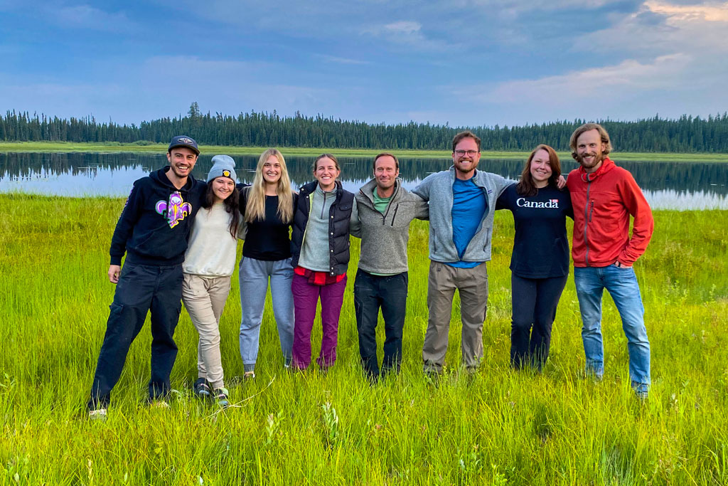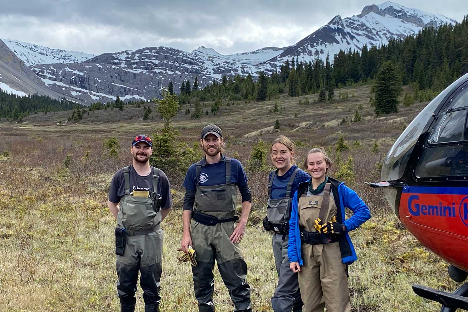
Meet the Water and Fish Team (from left to right): Sam Chevalier, Dr. Benjamin Kissinger, Claire Allore, and Sarah Desrosiers-Vaillancourt
By Claire Allore
The Water and Fish team has been busy logging water temperatures within the Willmore Wilderness Park and Kakwa Wildlands Park. The main inspiration for this work is that distributions of cold water species (Bull Trout, Athabasca Rainbow Trout, and Westslope Cutthroat Trout) are strongly impacted by water temperature. Each of these species is listed under the Federal Species-at-Risk Act and thrive in a very narrow range of cold-water temperatures. Furthermore, both the Willmore Wilderness Park and Kakwa Wildland Park offer prime habitat for these cold water species but lack a water temperature profile. By logging water temperatures, the Water and Fish team aim to help identify where prime cold-water habitat is, where this habitat might disappear, and where recovery actions should be focused.
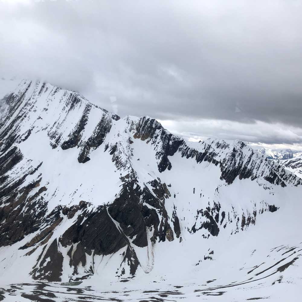
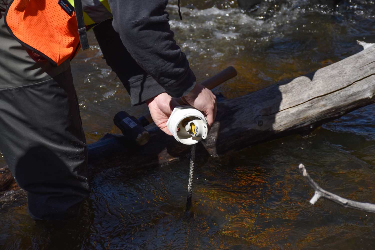
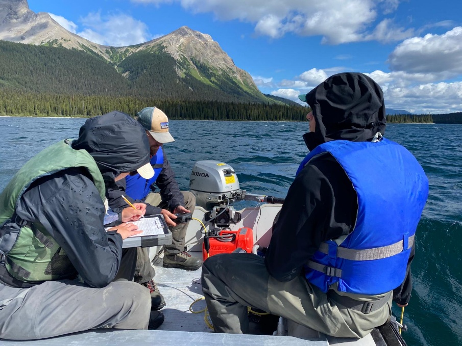
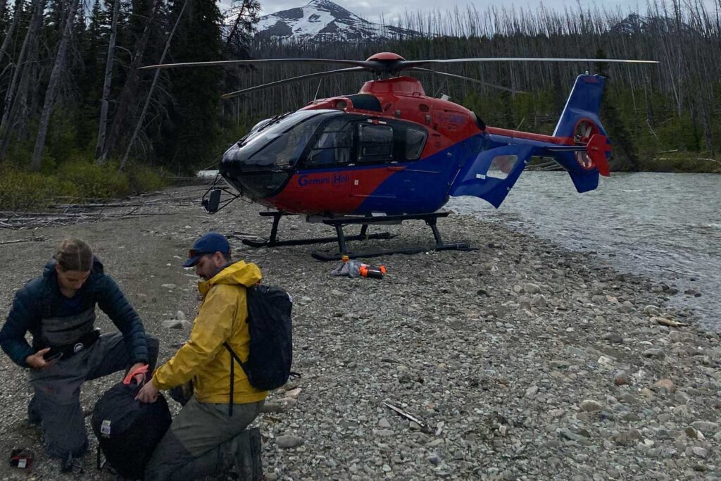
During the month of June, our team deployed 59 different temperature loggers. Each site is accessed by helicopter due to the difficult site locations and non-existent roads. We set each temperature logger to record temperatures hourly and then place it in a housing consisting of a small PVC capsule attached to a rebar pole.
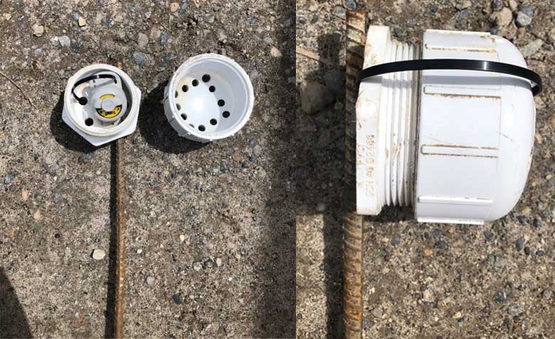
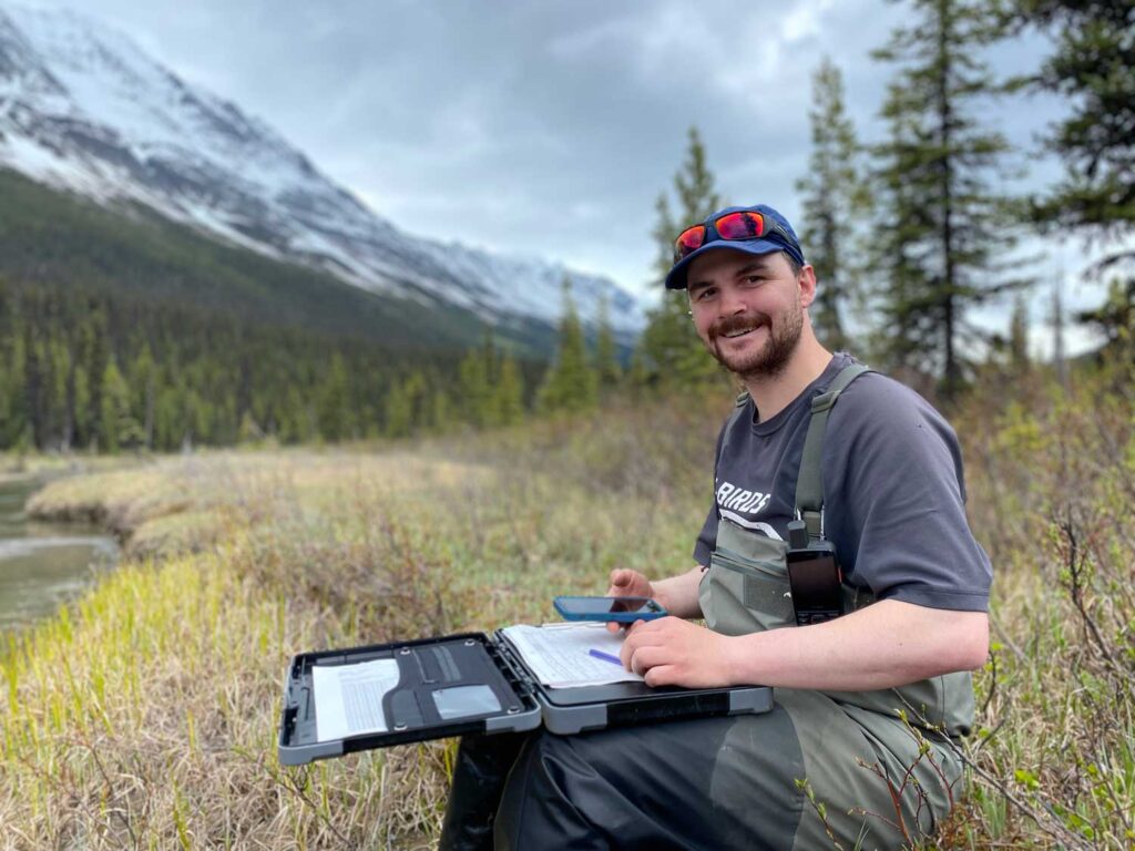
These are hammered into the stream beds with the aim of withstanding the intense fluctuations in stream flow caused by June “monsoons”, and extreme weather events. The loggers are set up to remain in their streams for the warmest months of the year and can be retrieved during the fall or spring. To help with retrieval, we take careful notes, photos, and set flagging tape at each logger location.
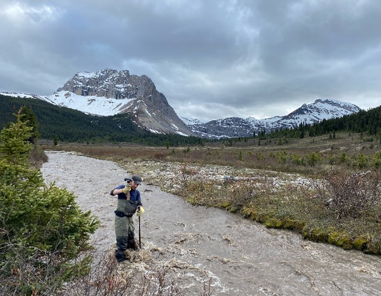
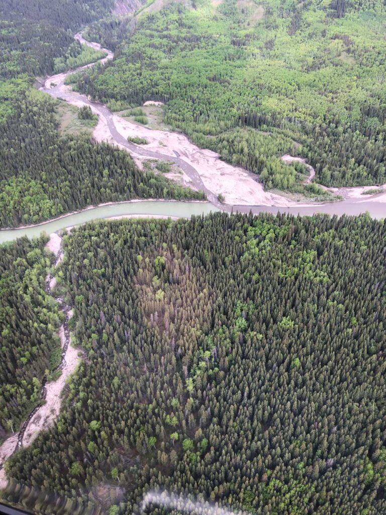
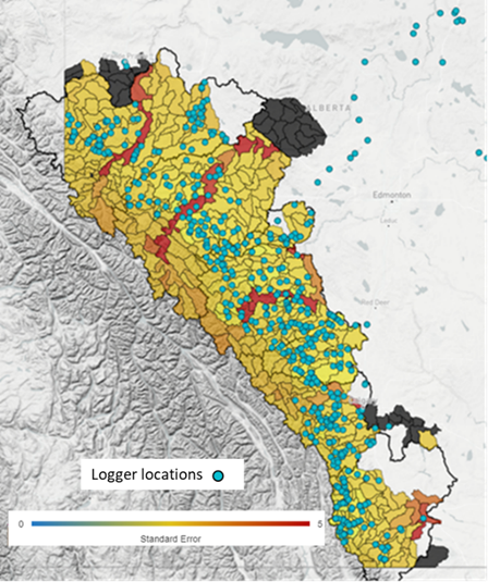
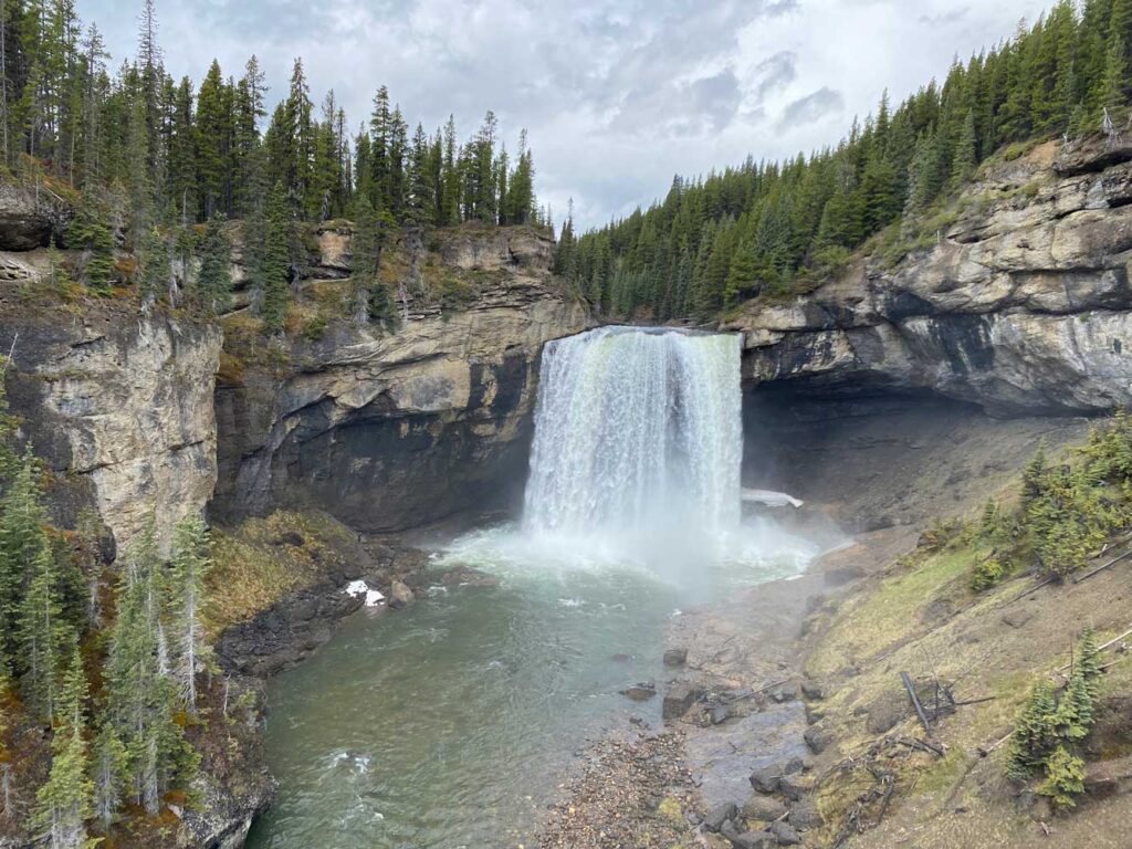
Temperature loggers are placed in a variety of essential rivers within the parks such as the Smokey River (shown below), Jackpine River, Kakwa River, Sheep Creek and more. All this data is part of a collaborative effort to create a water temperature model for Alberta’s East Slopes (Figure 1) and should help future efforts to protect many of our at-risk species.