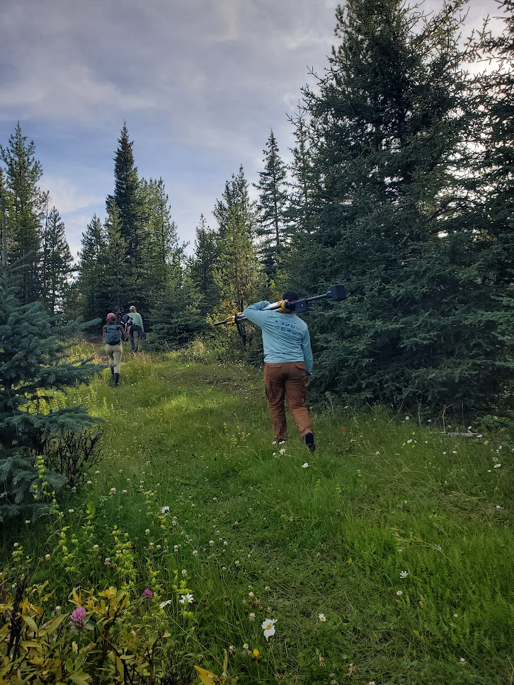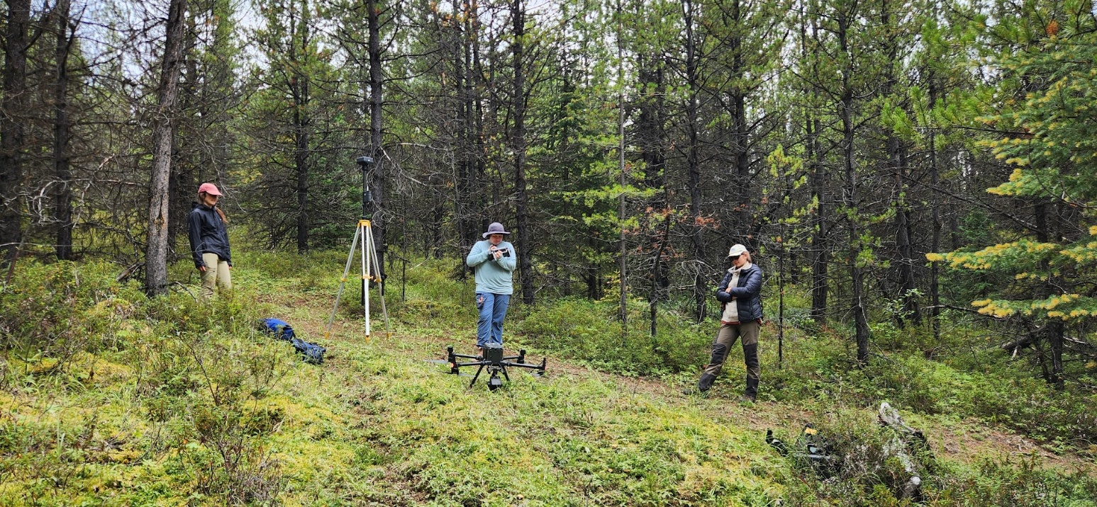
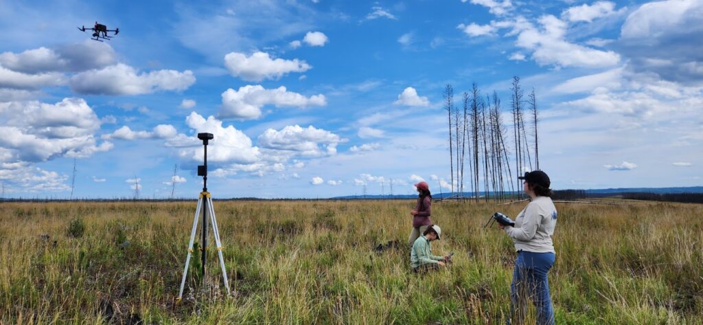
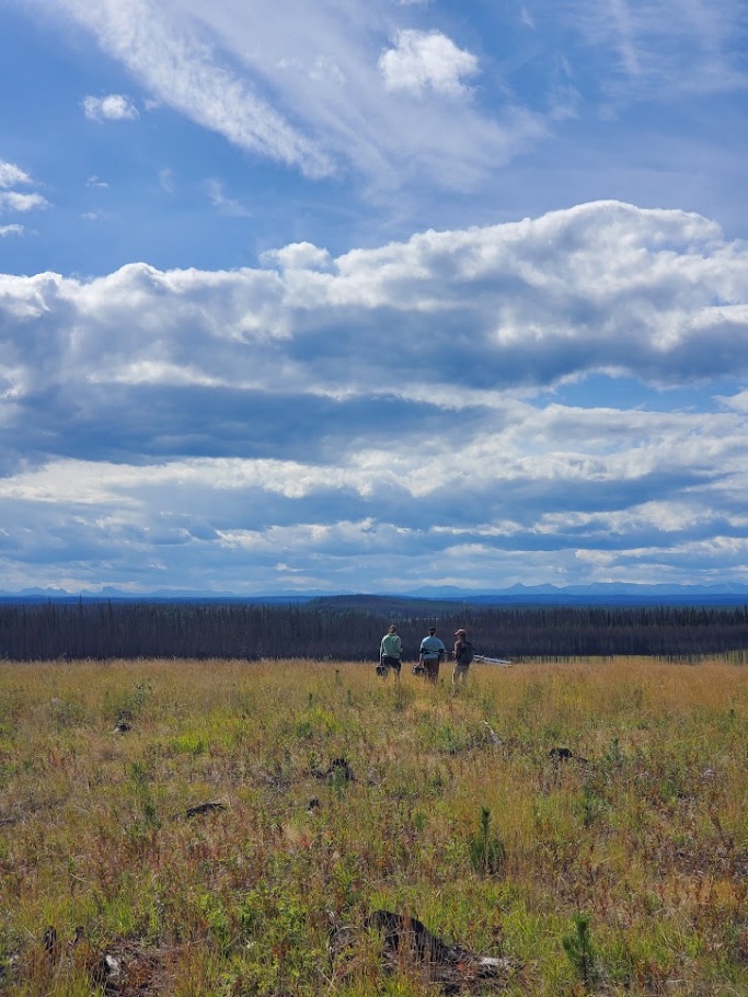
Rosalie, Leanna, and Léna getting ready to fly the drone. Photo: Sadie Russell.
This August the fRI Research Water and Fish Team, Dr. Coops’ lab from University of British Columbia, Dr. Alexis Achim’s lab at l’Université Laval, and members of the Alexis Nakota Sioux Nation gathered to use remote sensing tools on 24 river sites within the Alberta Eastern Slopes. Each site was carefully selected by Léna Mazuryk and Rosalie Pelletier as part of Léna’s MSc work with l’Université Laval. Sites fit into one of four categories: forested, fire affected, harvested, and OHV sites. The aim of this work is to see how different disturbances can impact a stream and its associated riparian zone.
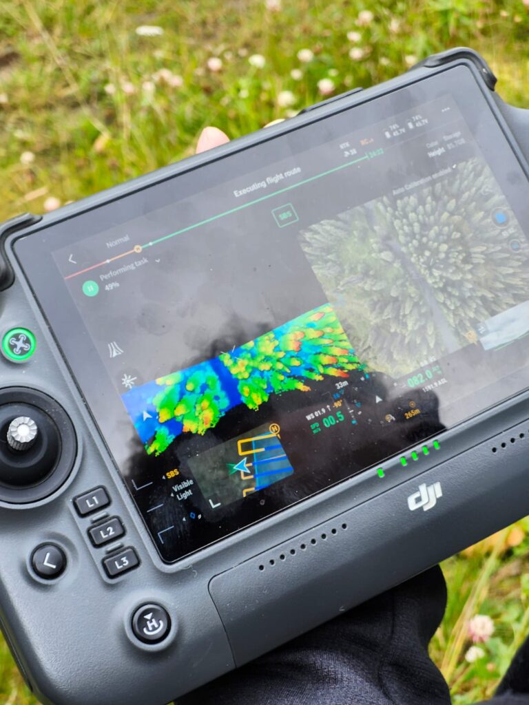
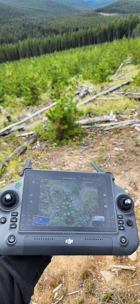
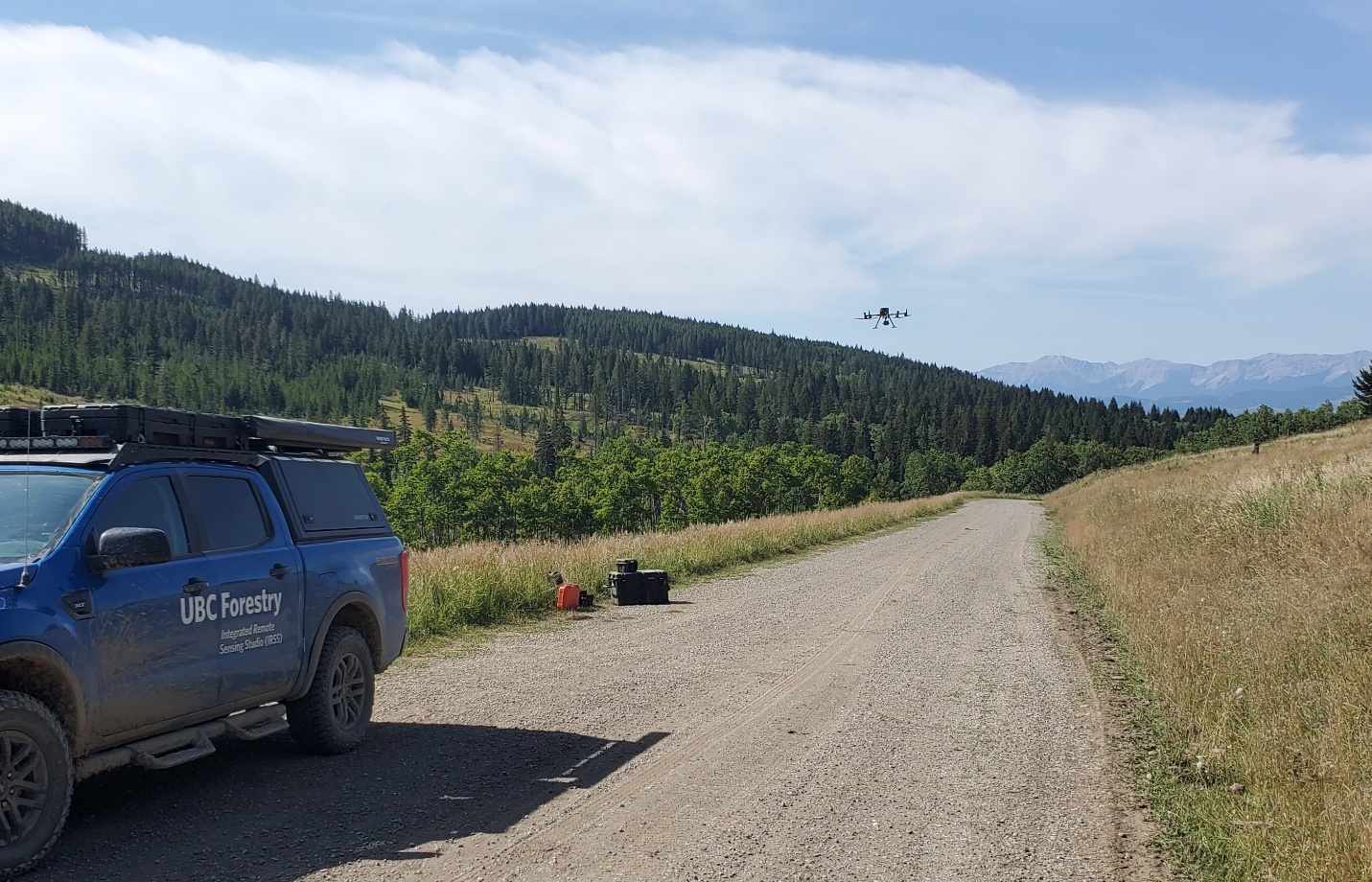
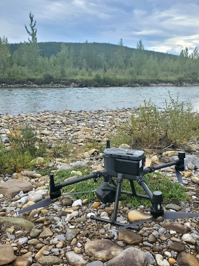
Leanna Stackhouse, a PhD candidate from the University of British Columbia, is helping to assess these streams by using a drone to collect high-density Light Detection and Ranging (LiDAR) and thermal imagery from each site. Her work will help to characterize riparian vegetation and outline the impacts of riparian disturbance on streams. Chad Alexis and Josiah Clow from Alexis Nakota Sioux Nation, also work with remote sensing tools and joined for a few days to help share ideas and knowledge during the fieldwork.
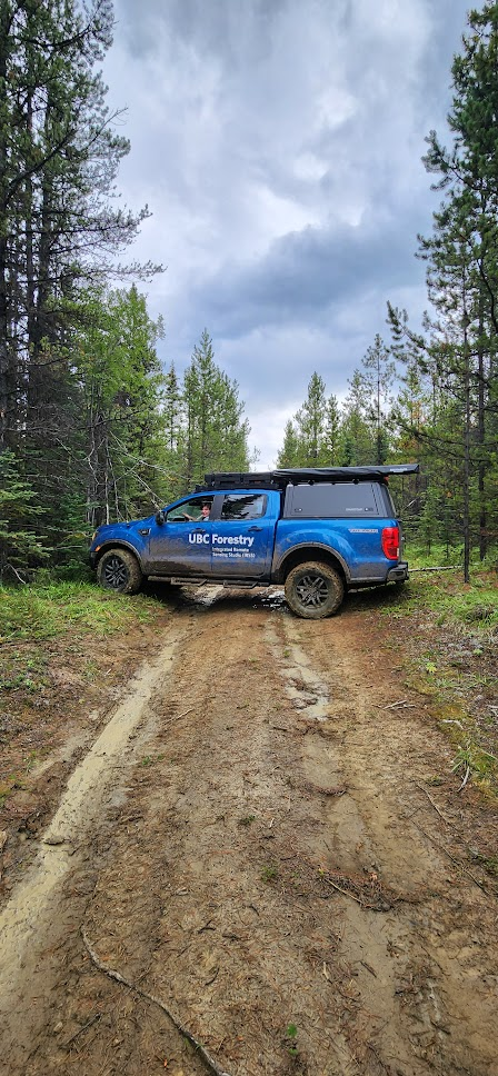
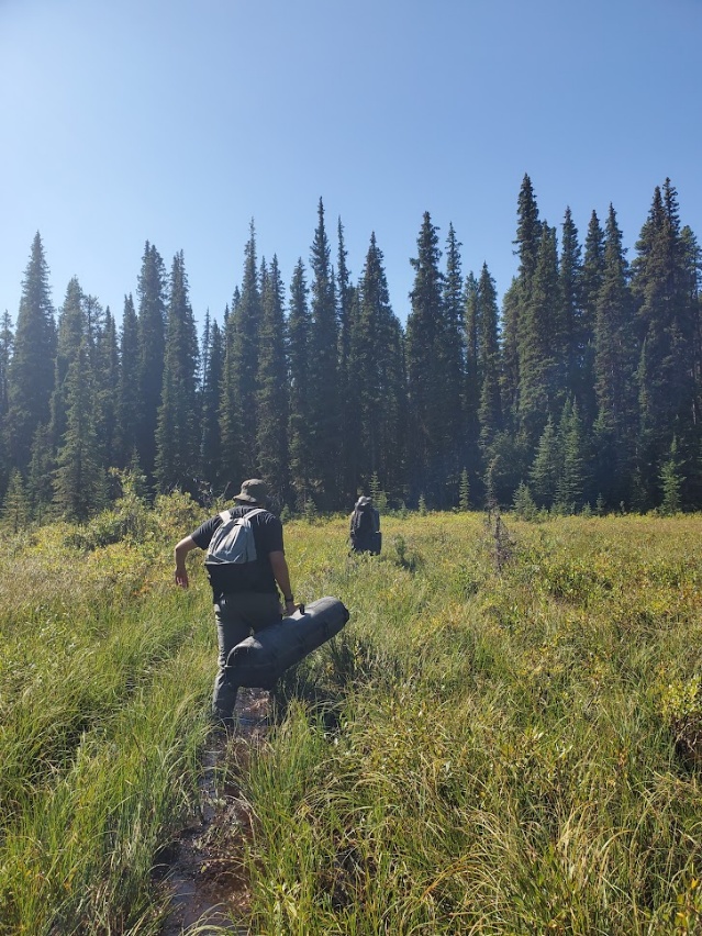
Fieldwork consisted of driving to each location, hiking heavy gear (drone, batteries, Real-Time Kinematic, etc.) and flying pre-determined routes. The tenacious team did not stop until all 24 sites were sampled. Often working 10+ hours each day and even attempting one difficult site 3 individual times before a successful flight could be achieved.
The final steps for this project are now underway with both Léna and Leanna analyzing and reporting on the data collected!