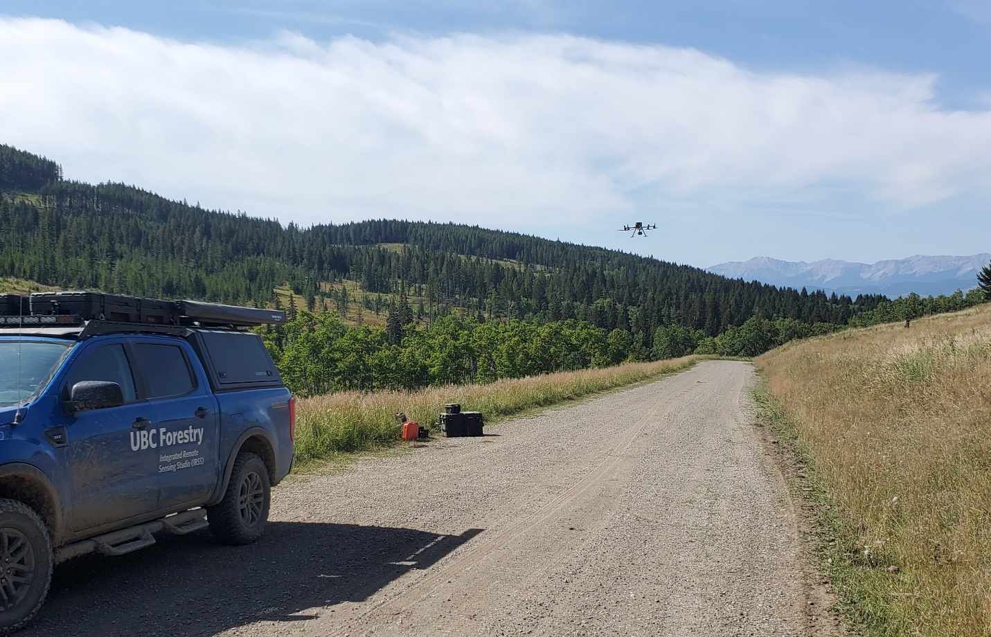
The drone taking off near Sharples Creek. Photo: Christy Goldhawk
By Dr. Benjamin Kissinger
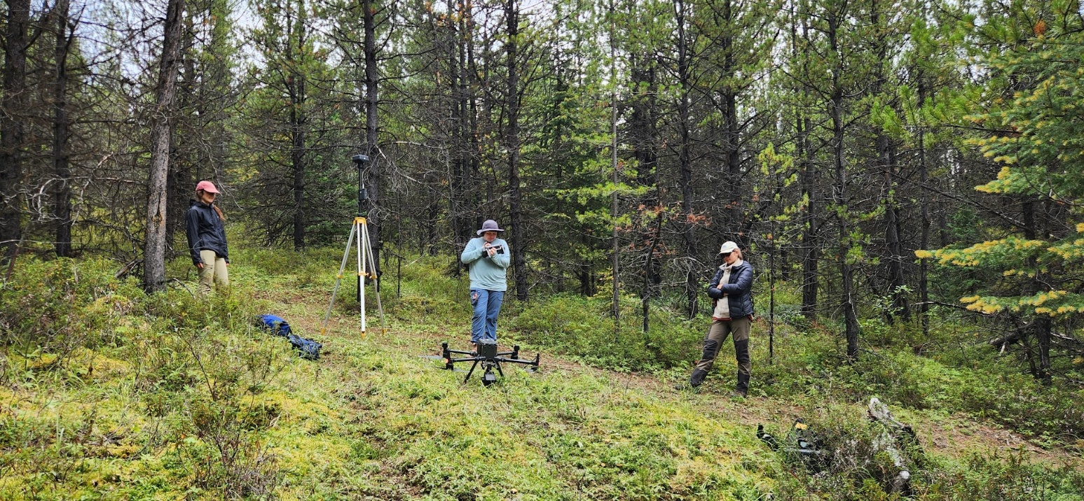
Expanding on work being completed near Hinton, Alberta using drone-collected Light Detection and Ranging (LiDAR) and thermal imaging to assess differences in habitat types in various treatments (forested, off-highway vehicle, fire, and timber harvest), we continued data collection in southern Alberta in a watershed where cattle grazing occurs.
Here we are collecting pre-data on a tributary to Sharples Creek where our collaborators at Freshwater Conservation Canada are planning to install beaver dam analogs (BDAs) – humanmade beaver dams that assist in holding water on the landscape and increase channel complexity. The hope is these BDAs will help native westslope cutthroat trout that are in a connected tributary. In addition, holding water on the landscape will also aid in supporting water needs for cattle that graze this area resulting in a win-win for both. The Sharples Creek watershed is within land grazed by the Waldron Grazing Co-operative under various provincial deeds and leases. The Waldron Ranch is keen on utilizing innovative approaches to support grazing while minimizing impacts to aquatic species.
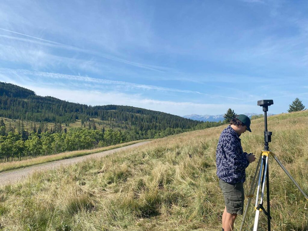
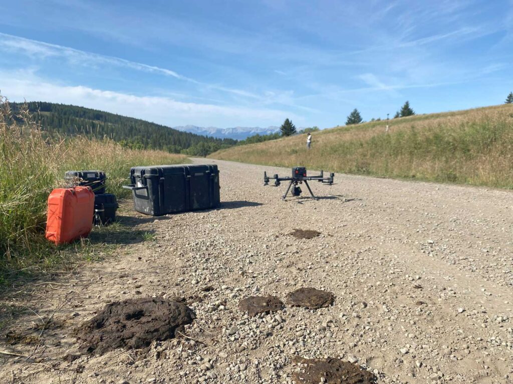
Left: Nick setting up the drone at Sharples Creek. Right: Drone next to evidence of cows in the Sharples Creek watershed. Photos: Ben Kissinger.
I met Leanna and Nick from the University of British Columbia team at the site, prior to BDA installation. We observed limited water and no natural beaver dams, and staff at Freshwater Conservation Canada told us that this tributary commonly runs dry in the summer and winter. The pre-data will show the current state of the habitat and available water as well as how it influences water temperature in the small ephemeral stream. We intend to return next spring and summer to assess if and how the BDAs have shaped this riverscape.