Abstract
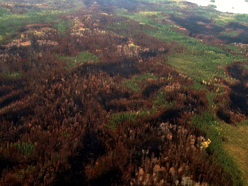
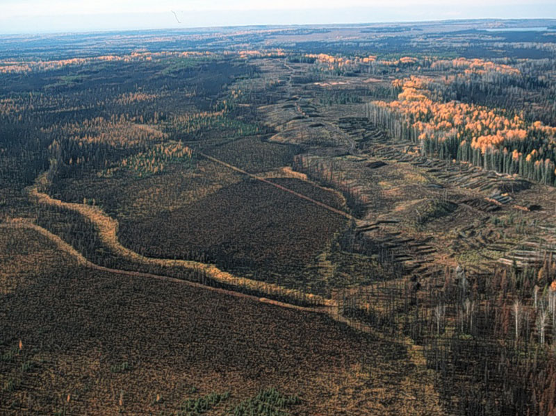
Regulatory and certification agencies need historical fire pattern information across the Canadian boreal forest to support natural disturbance-based management. Landsat-derived spectral indices have been used extensively to map burn severity in North America. However, satellite-derived burn severity is difficult to define and quantify, and relies heavily on ground truth data for validation, which hinders fire pattern analysis over broad scales. It is therefore critical to translate burn severity estimates into more quantifiable measurements of post-fire conditions and to provide more cost-effective methods to derive validation data. We assessed the degree to which Landsat-derived indices and ancillary data can be used to classify canopy mortality for 10 fires in the boreal forest of Alberta and Saskatchewan, Canada. Models based on two and three mortality classes had overall accuracies of 91 and 72% respectively. The three-level classification has more utility for resource management, with improved accuracy at predicting unburned and complete canopy mortality classes (93 and 66%), but is relatively inaccurate for the partial mortality class (56%). The results presented here can be used to assess the suitability of different canopy mortality models for forest fire management goals, to help provide objective, consistent and cost-effective results to analyse historical fire patterns across the Canadian boreal forest.
Access the full article (with subscription) here, or contact David Andison.
Citation
Ignacio San-Miguel, David Andison, Nicholas Coops, Gregory Rickbeil. (2016) Predicting post-fire canopy mortality in the boreal forest from dNBR derived from time series of Landsat data. International Journal of Wildland Fire. 16 May 2016.
DOI: 10.1071/WF15226