Impacts of Forest Management Practices and Severe Wildfire on Water Quality, Flow Regimes, Flooding and Aquatic Habitats
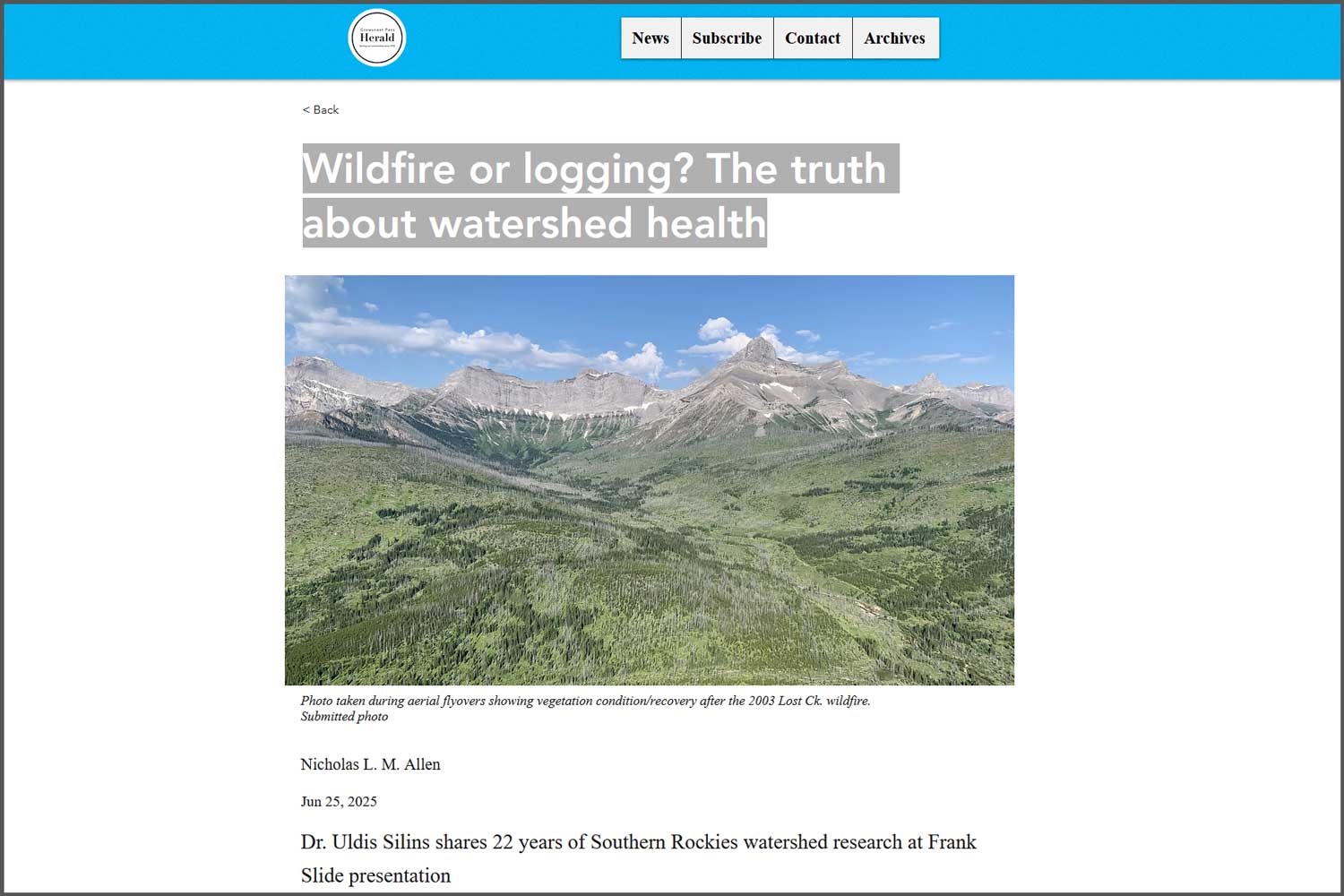
This work contributes to the internationally acclaimed Southern Rockies Watershed Project, a multi-decade, interdisciplinary project led by Dr. Uldis Silins at the University of Alberta. It began as a study on the effects of the 2003 Lost Creek wildfire and subsequent salvage logging in the South Saskatchewan River basin. But during the following years, other wildfires, historic floods, industrial disturbances, and even an accidental fire retardant dump, played out in the study area. Each provided the research team with a unique opportunity to collect data that could be compared to what they had measured before each event.
As a result, the long-term dataset is able to answer a very rare range of questions, at a watershed scale. To achieve this, Silins has brought together experts in headwater hydrology, disturbance ecology, large basin-scale river processes, water treatment engineering, and socio-economics. While the lab continues to collect data to follow each event from disturbance to recovery, the focus of the Southern Rockies Watershed Project has increasingly turned to sharing findings, through publications and field tours, on several vital topics.
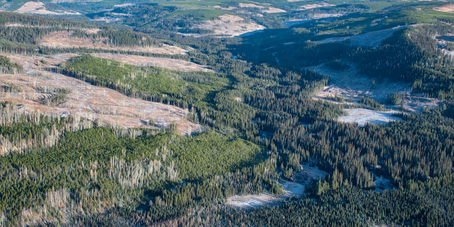
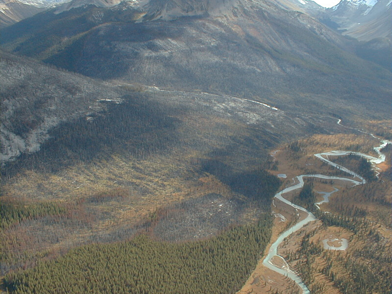
One major set of research findings came out of the 2017 Kenow wildfire, which burned over 35,000 hectares. The team tracked the recovery of the area’s hydrology, water quality, and aquatic ecology there and elsewhere in the watershed where three different forest harvest strategies were being tested. The research compares these disturbances and examines how such disturbances can be compounded by subsequent events. For example, the fire exposed contaminants that were then pulled down by floods, which are themselves more severe after wildfires. Some of the publications in the works look at changes to the watershed’s nitrogen cycle – critical for the entire food chain of the system – was affected by the fire, a Master’s thesis on water temperature effects, a paper on sediment levels after harvest, and a paper on how harvest affected the water yield and timing of the spring freshet.
The group is also studying cumulative effects from forestry, mining, recreation, agriculture, and municipal development from the headwaters of the Crowsnest down to the flats. Each disturbance contributes different levels of different contaminants, such as sediment or selenium, to different parts of the watershed. Unpicking the effects is the first step to identifying mitigation measures and better operating practices. To do this, the team continues to monitor many parameters such as snowpack, levels of selenium and other heavy metals, and nutrients such as nitrogen.
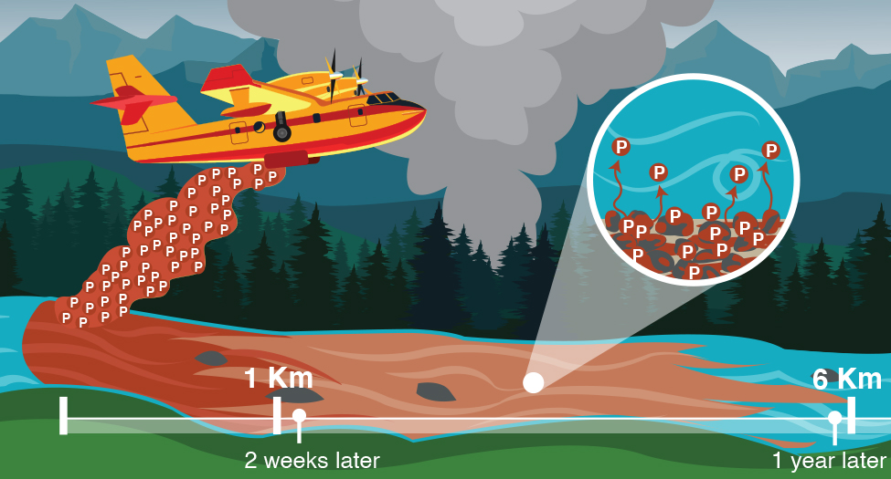
When an aircraft accidentally dropped a load of ammonium polyphosphate fire retardant into North Racehorse Creek. Essentially a fertilizer, it delivered a massive spike in phosphorous, a limiting nutrient, that bound to the streambed sediment and caused surprisingly long-term effects. The strongest impacts occurred almost immediately, within 1 km of the drop. But even a year later, phosphorous was still elevated up to 6 km downstream.
Finally, the group is sampling for PFAS, a class of extremely long-lasting synthetic molecules that are widely applied to cooking and outdoor gear, and are showing up in municipal drinking water. The team’s goal is to determine how PFAS is entering our water and in what levels.
For more information, visit the U of A’s project website: