The Southern Rockies Watershed Project is based out of the University of Alberta, and began after the 2003 Lost Creek Wildfire in the eastslopes of southern Alberta. It has continued to gather over 20 years of data exploring many aspects of watershed health. In September 2025, fRI Research organized a field tour about a part of the project studying cumulative effects on the Crowsnest River from its headwaters down to the Oldman Reservoir.
The idea was to take a mix of people with different expertise such as government regulators, forest managers, watershed councils, and municipal planners to several sites along the Crowsnest River that were chosen to provoke discussion of different issues that are relevant all along Alberta’s eastslopes.
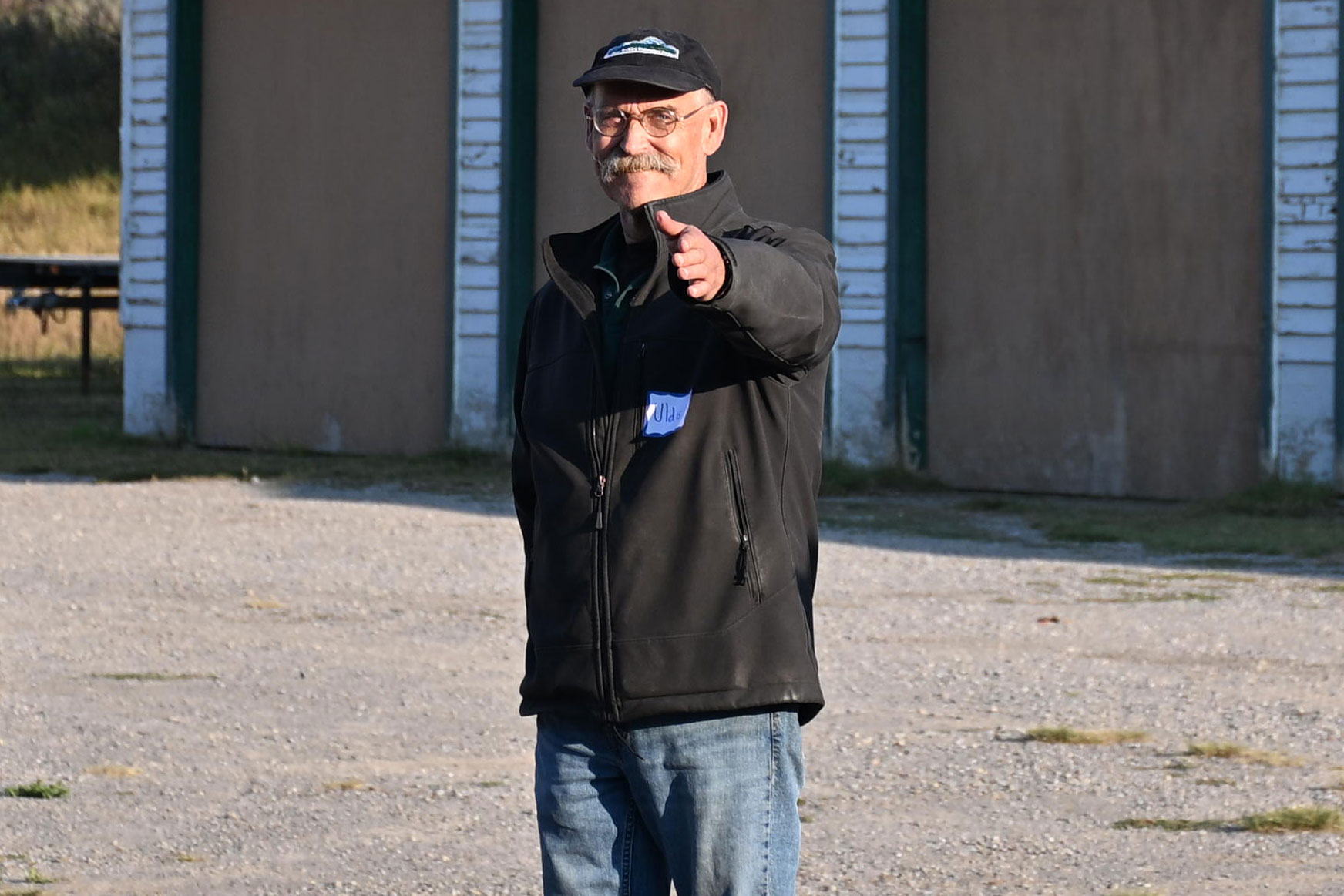
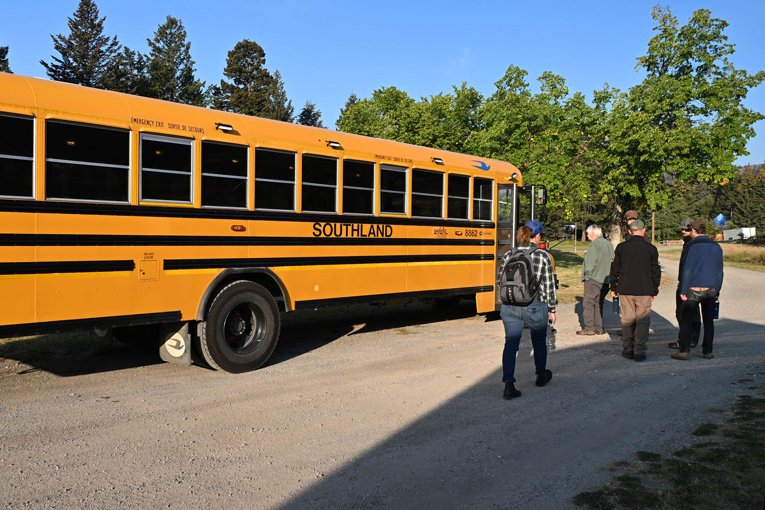
Left: Uldis welcomes the guests and sets up the day. Right: bumpy ride notwithstanding, the bus was another good location for productive conversations throughout the day.
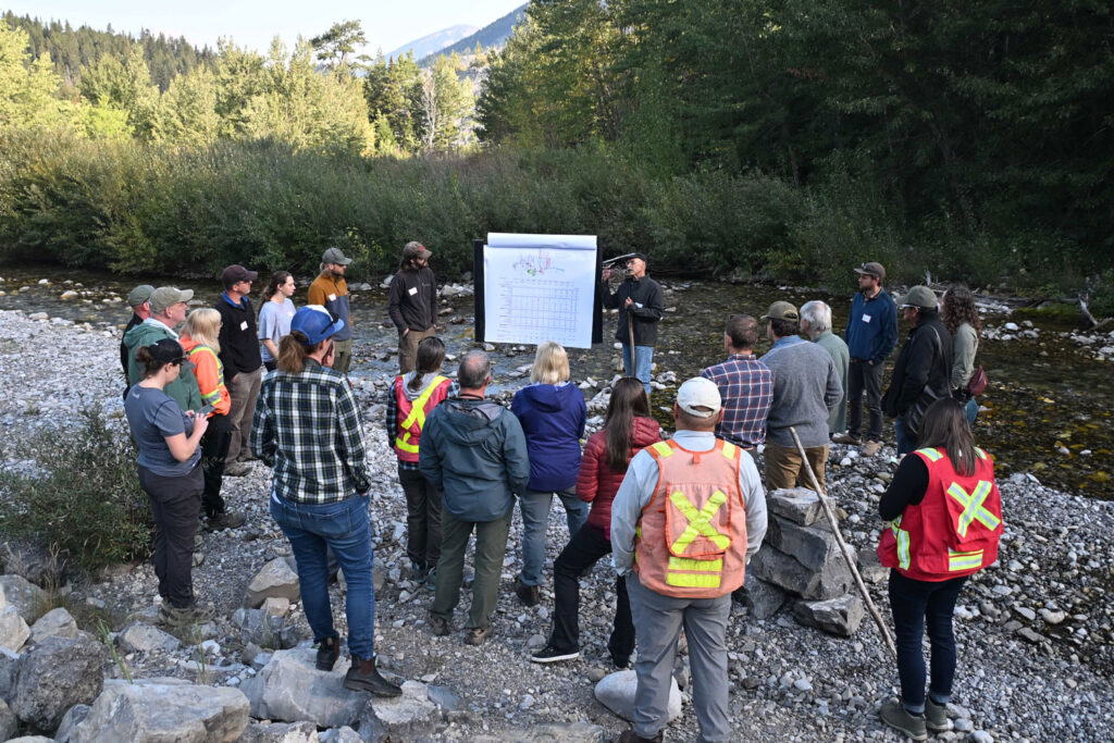
Stop one was near the headwaters of the Crowsnest sub-basin. Point sources of contamination primarily include historical coal mining and forestry.
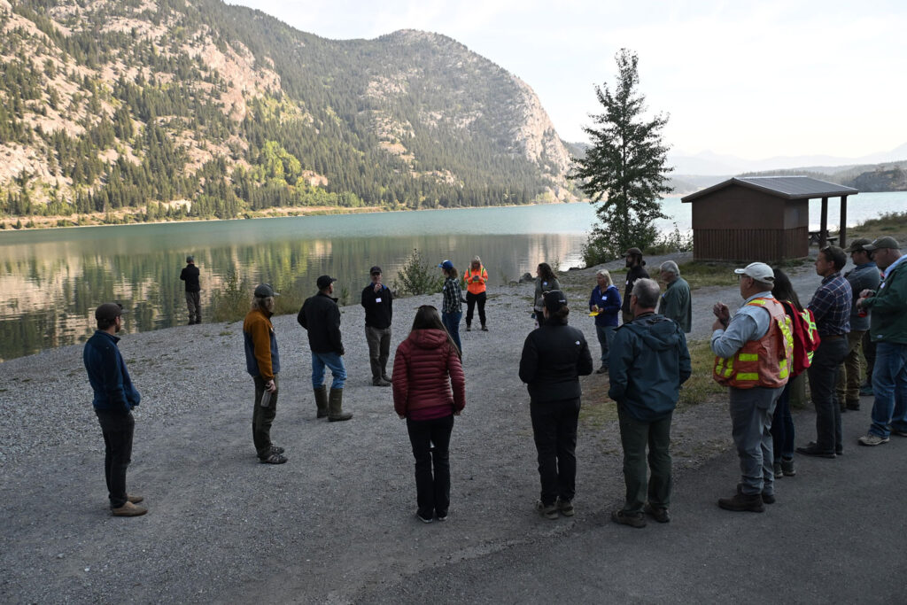
Stop two: Crowsnest Lake. This is still high in the watershed, above the urban developments such as Coleman and Blairmore. Government of Alberta scientists shared news of a forthcoming study on selenium levels in this lake.
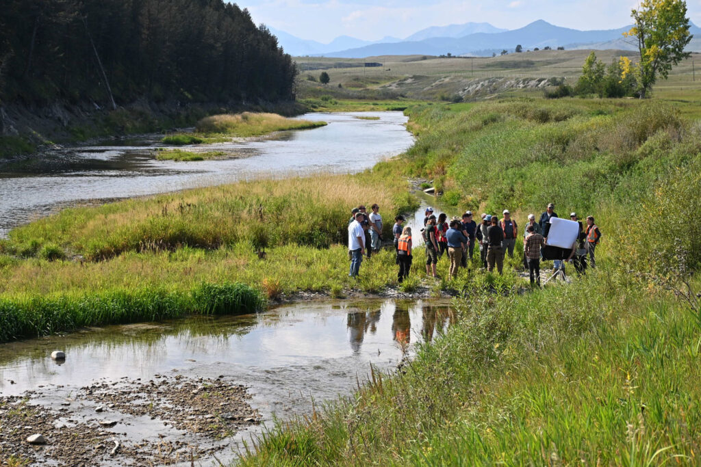
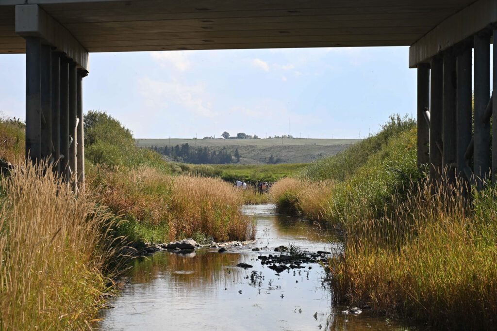
The last stop was just upstream of the Oldman Reservoir at the confluence with Todd Creek. Along with common urban point sources, this is also an agricultural area with runoff from nearby cattle feedlots.
Besides the different sources of pollution that enter the watershed as we travelled down the river, we were also impressed by the physiographic differences: from steep, narrow valleys with fast flows at the top, gradually slowing down as the land flattens out. This is a major factor for how contaminants such as nitrogen and selenium are transported downstream or settle out, which in turn controls the loads and concentrations at different spots.
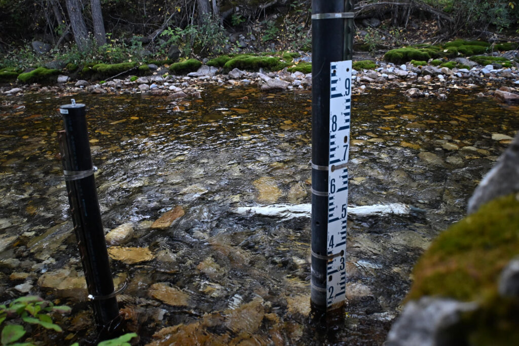
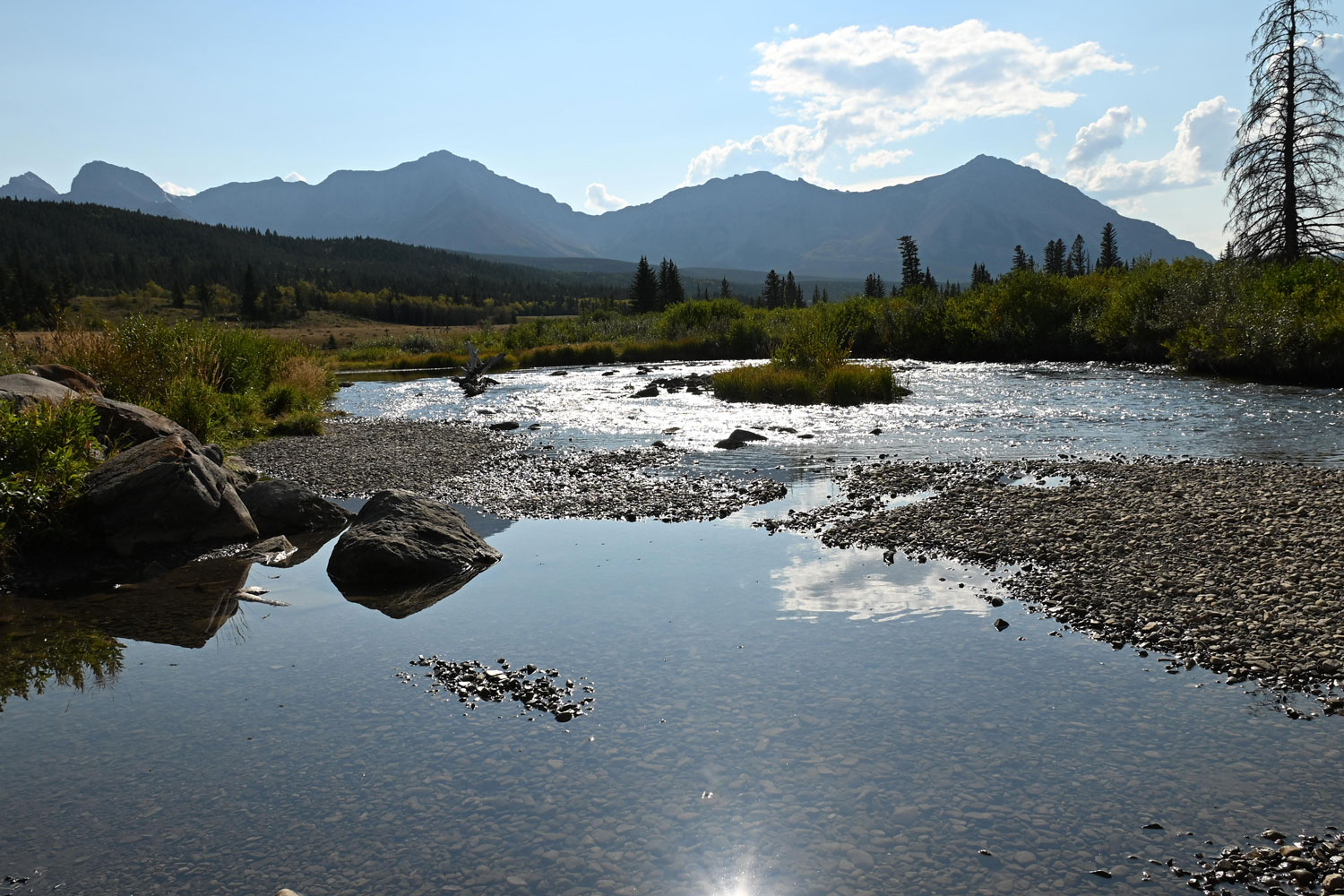
A stream gauge for measuring flows near the headwaters.
Thanks to everyone for coming out and contributing to the discussion. We hope to host more of these in the future!