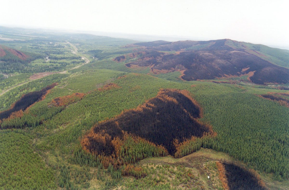
Several provinces have guidelines to emulate fire disturbances via characterizing the size of the clearcuts and the amount and spatial distribution of the tree vegetation remnants. Certification agencies such as the Forestry Stewardship Council have included fire pattern indicators as part of their requirements for the Canadian boreal region. In addition to guiding harvesting planning, there is an increasing interest in using “historical range of variation” to assess the risk of biodiversity loss via analyzing departure from the natural state of multiple anthropogenic activities.
Regardless of the application, a key requirement for the implementation of historical range of variation approaches is the definition and characterization of the variability of spatial patterns created and maintained by fire.
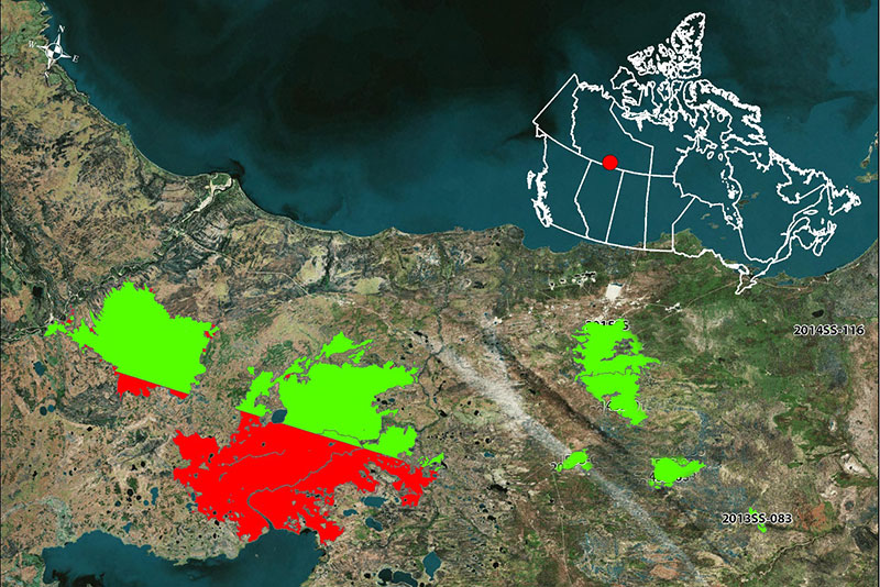
This report summarizes the detailed results from 11 fire events in the Taiga Plains ecozone of the Northwest Territories for which detailed polygons of mortality were available.
Gallery