Analysis and restoration of seismic cutlines in Southern Mountain and Boreal caribou range in west-central Alberta
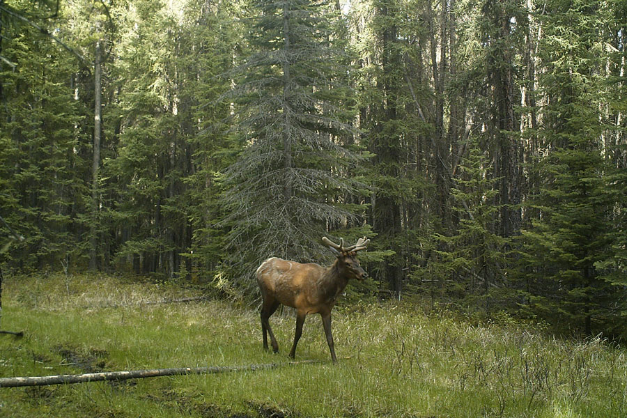
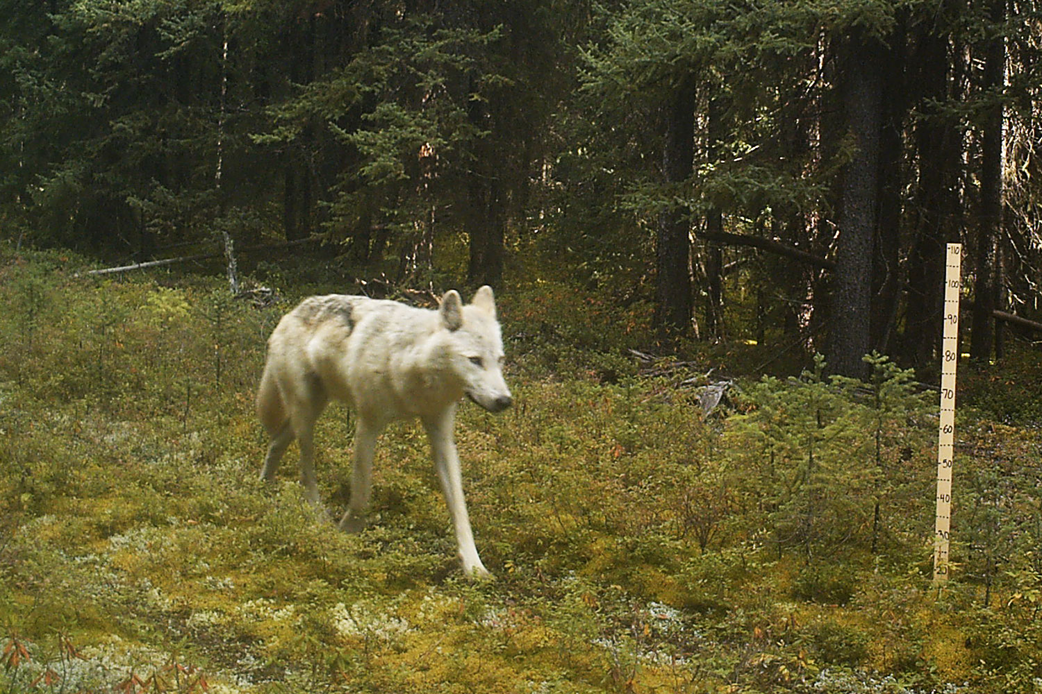
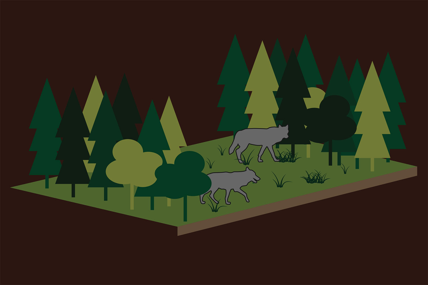
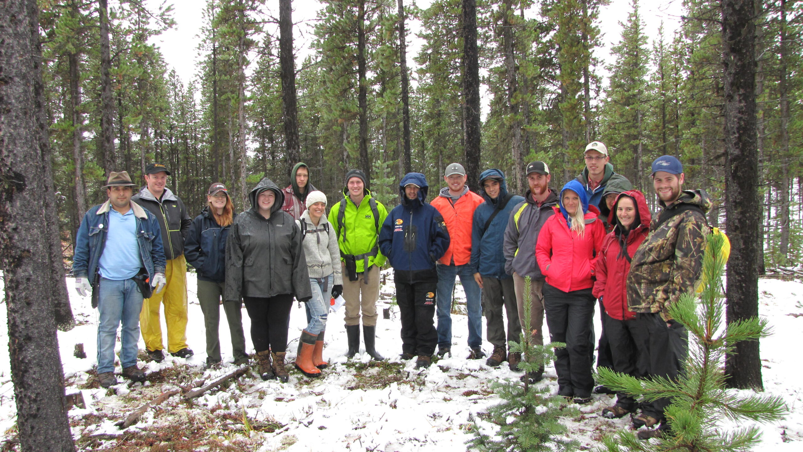
Starting in 2013, this project is looking at how caribou and wolf behaviour is related to cutlines.
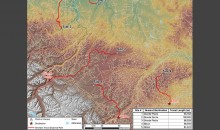
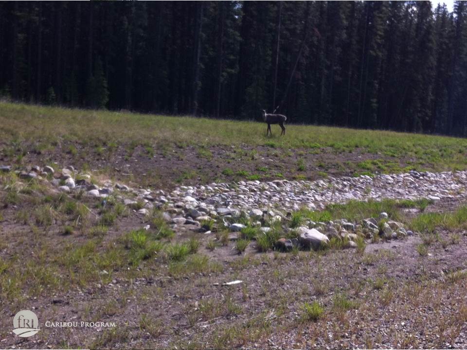
Using new LiDAR-derived maps of caribou habitat, we will determine how caribou and their predators respond to seismic cutlines. Results from this research may be used to guide well-directed, science-based restoration of caribou habitat.
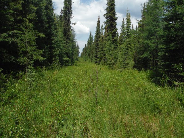
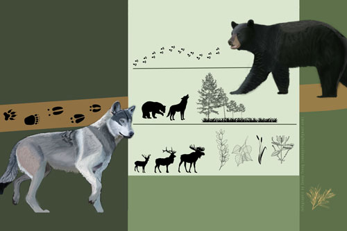
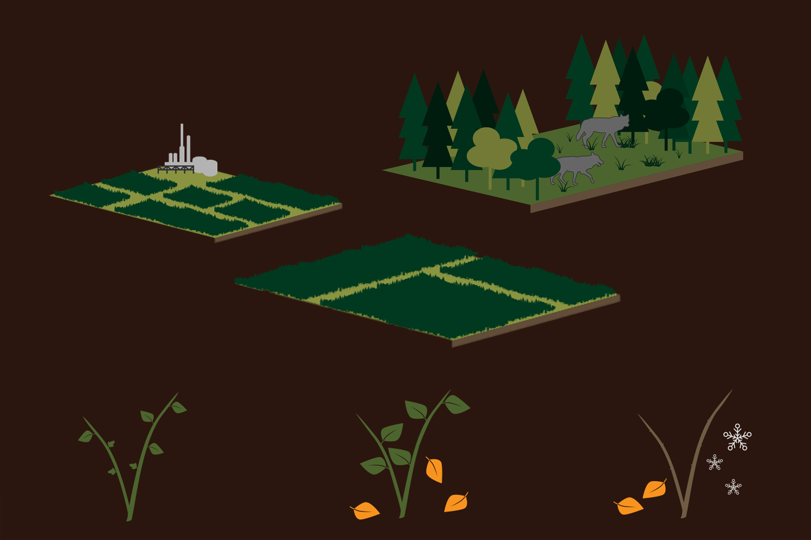
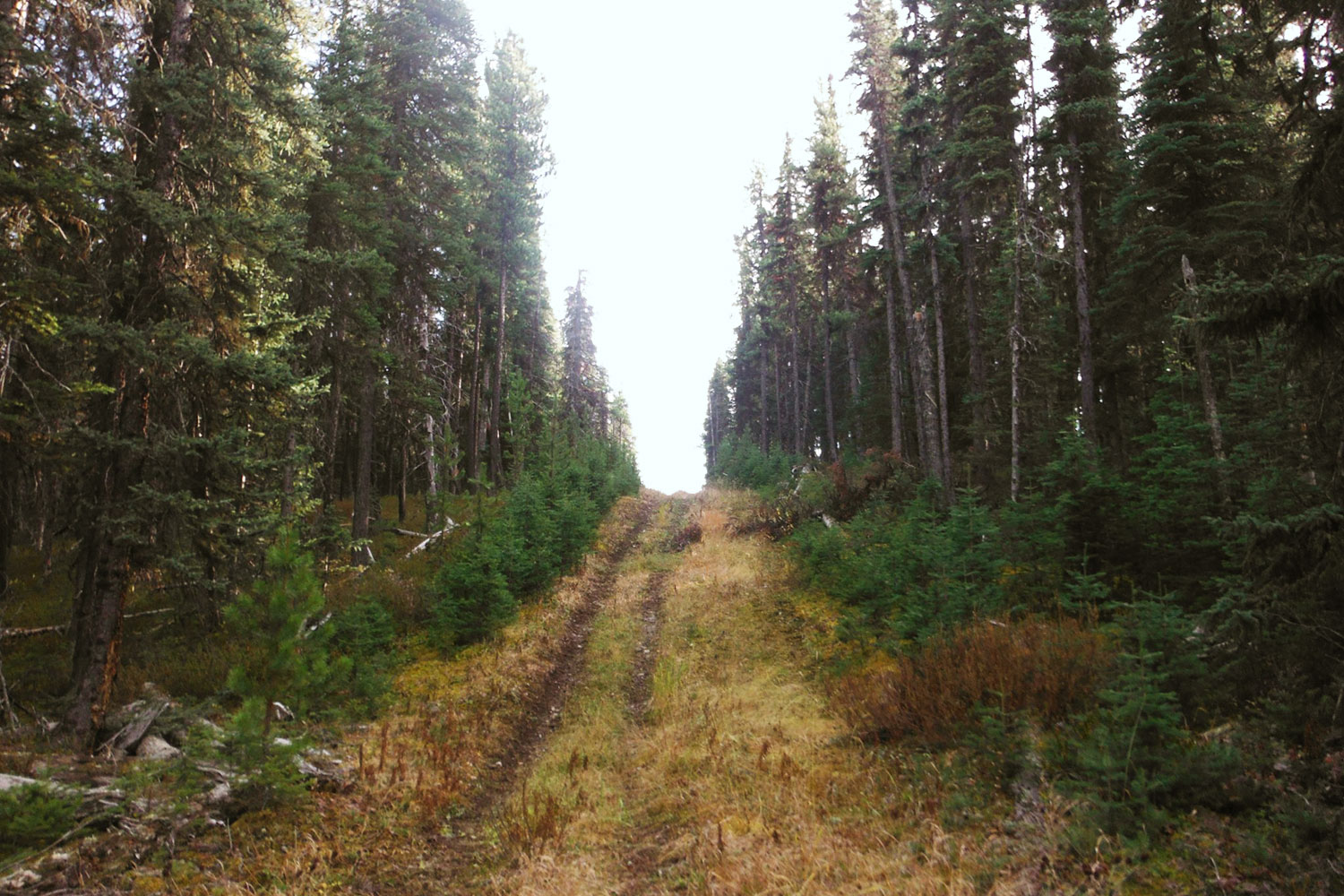
Under the federal boreal recovery strategy (Environment Canada 2012) at least 65% of the habitat within the range of each caribou herd must be undisturbed. Disturbed habitat includes seismic cutlines, cutblocks, roads, wellsites and burned areas, and is considered ‘disturbed’ until it is no longer visible on aerial photographs. It is unknown whether this reflects disturbed habitat from a caribou perspective.
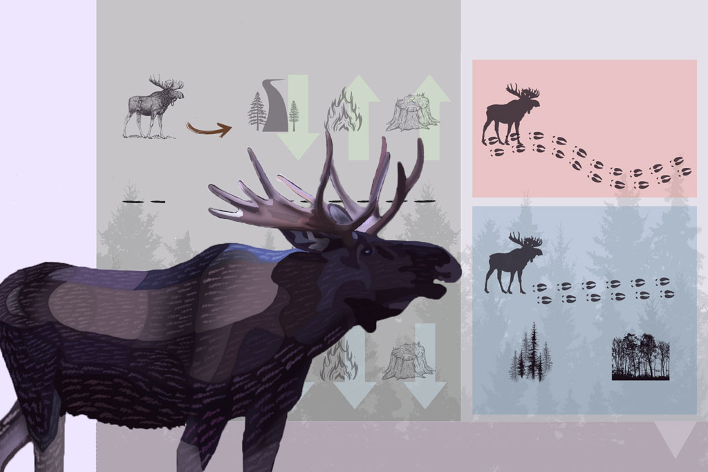
This project will use new technologies; specifically LiDAR based terrain metrics, to determine how caribou and their predators respond to the re-vegetation stage of previously disturbed areas. The overall aim of this project is to produce data that can be used to inform science-based, effective, habitat restoration that will be the most beneficial for caribou. There are 3 primary objectives:
- To use existing animal location data (caribou, wolves, grizzly bears) to determine whether inclusion of re-vegetation stage (tree height) of previously disturbed areas alters our understanding of how animals respond to habitat disturbance – including evaluating whether currently accepted buffers (500m for all disturbed habitat except burns) apply across all stages of re-vegetation.
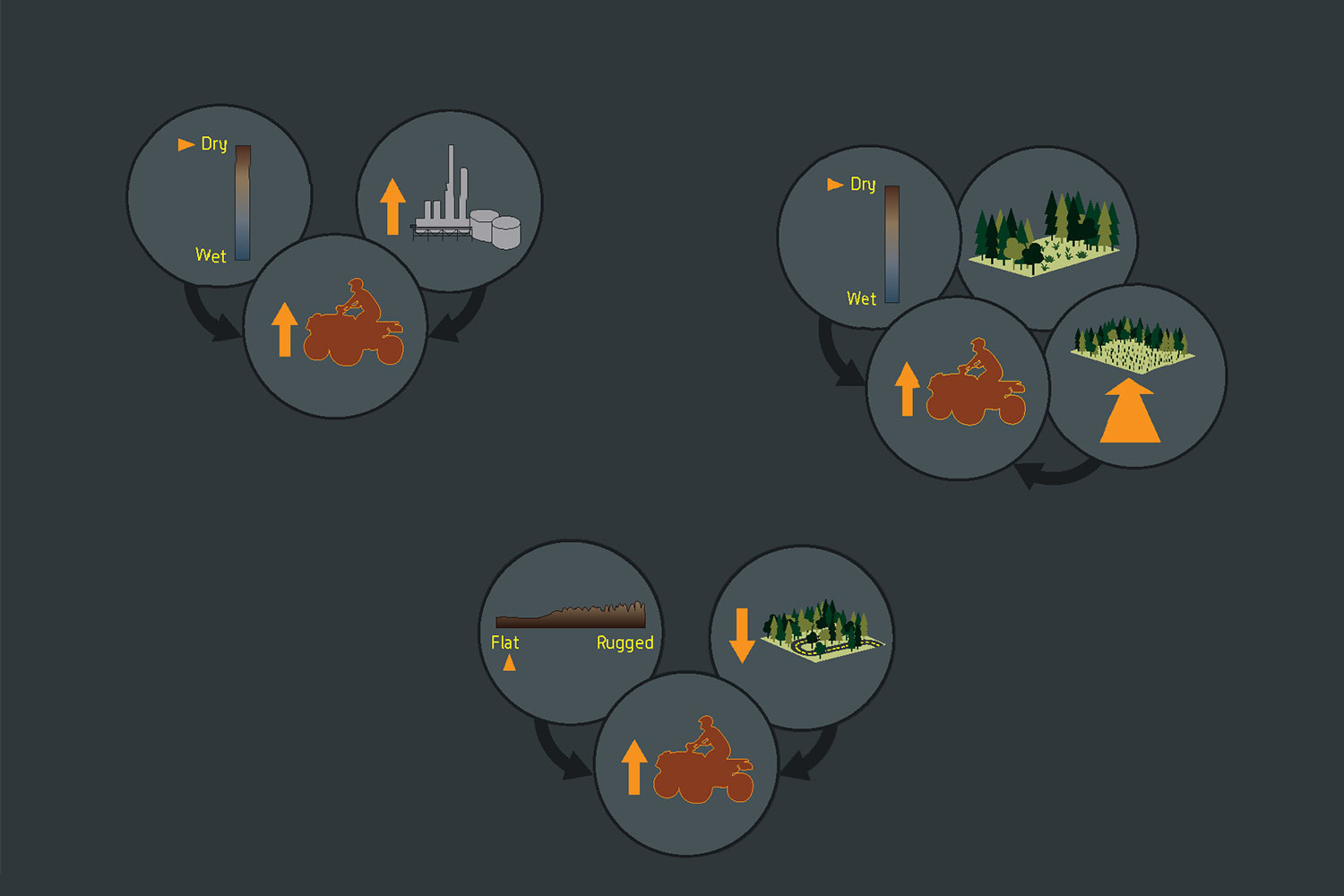
- To evaluate how animals respond to active human use of seismic cutlines
- To determine what topographic features (e.g. slope, wetness, vegetation height) encourage recreational human use of seismic lines.
The deliverables of this project will be a GIS-based inventory of seismic cutline features across the study area classified according to their reforestation stage, level of human use, impact on caribou and potential for restoration success.
This project is a joint project between the fRI Research Caribou Program and Grizzly Bear Program and is being carried out in collaboration with AESRD, the University of Montana, the University of Calgary and University of Alberta, and with the generous support of the Foothills Landscape Management Forum.
Complete
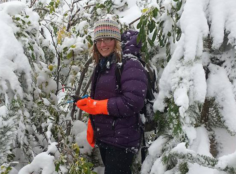
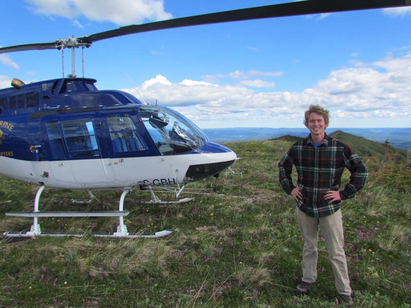
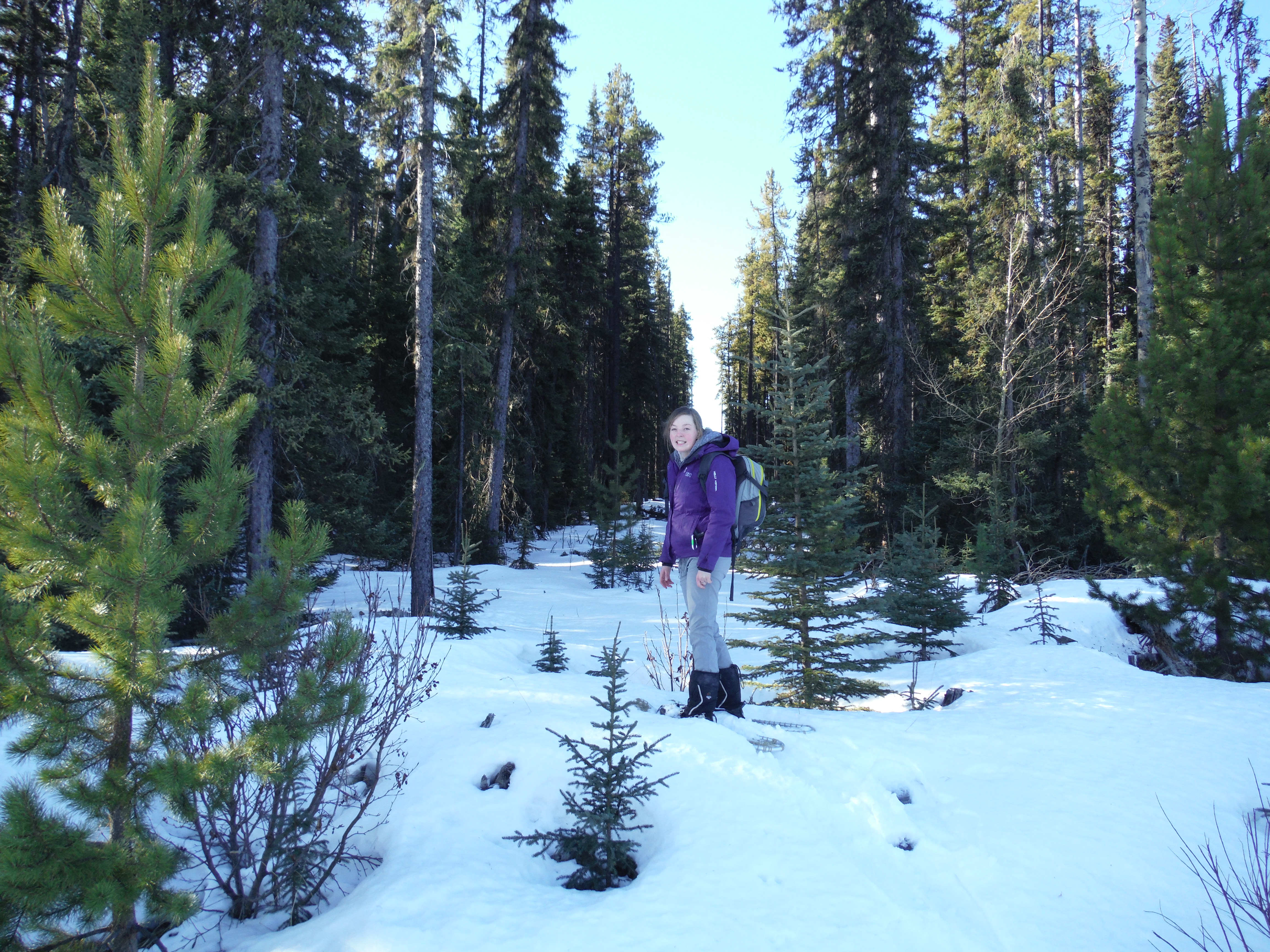
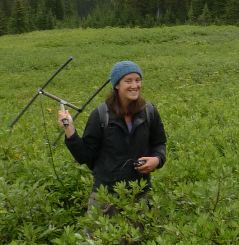
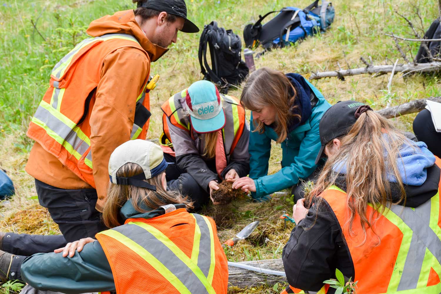
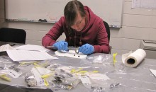
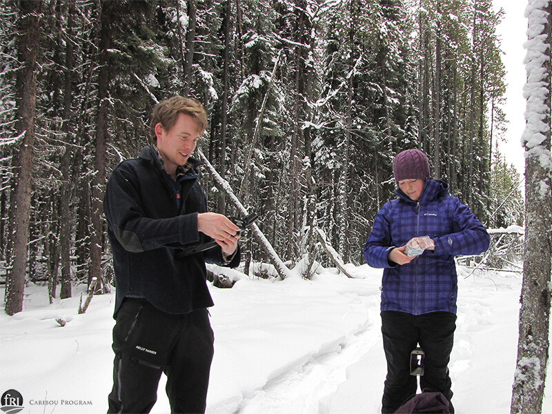
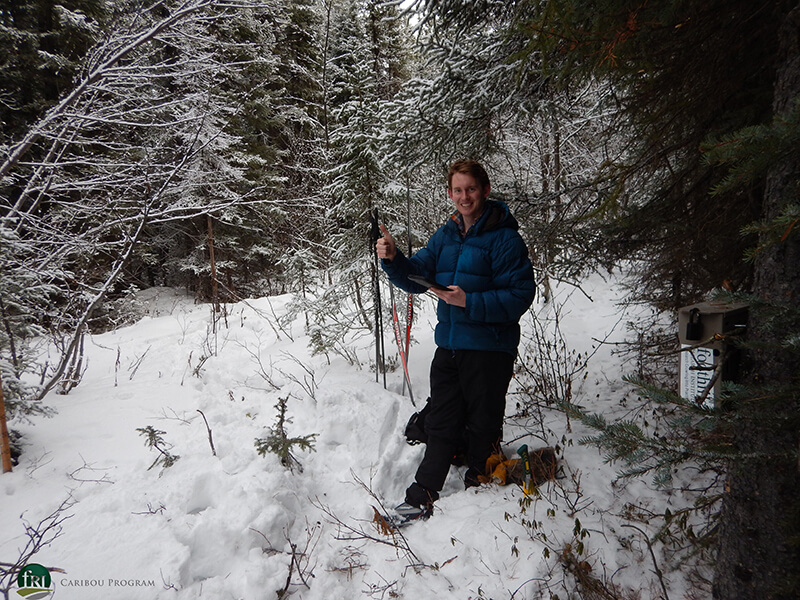
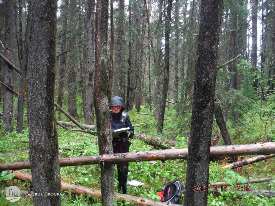
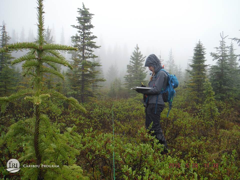
Summer and winter fieldwork in ALP and LSM complete
Crews are now collecting data in the Narraway & Redrock Prairie Creek ranges
Analysis on year one data complete
Preliminary data analysis complete
additional analysis underway
Preliminary map produced
A
- Alberta Environment and Protected Areas
- Arctos Ecological Consulting