GBTools
Powerful GIS tools and long-term data about grizzly bears in Alberta.
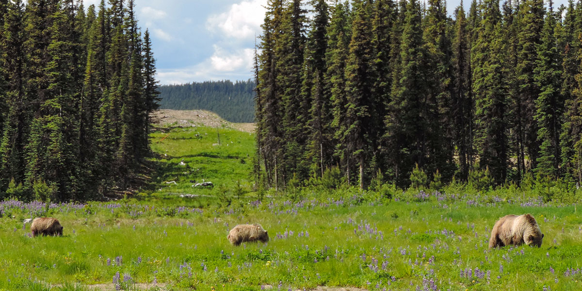
Within a decade of beginning work, the Grizzly Bear Program had fitted GPS collars on bears to understand their home ranges and resource use, collected reams of habitat data, and conducted the first scientific population inventories in the province.
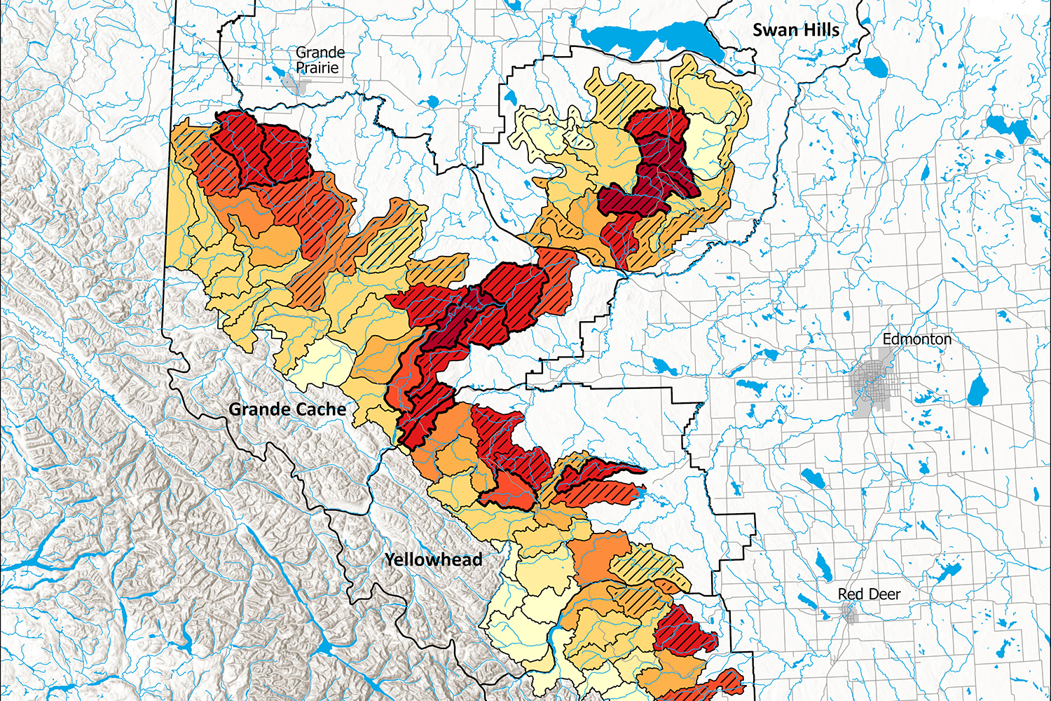
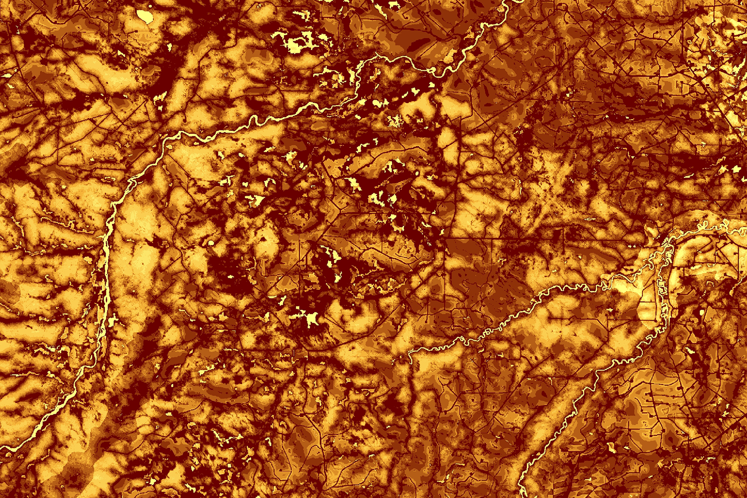
The habitat measurements and grizzly bear location data were each used to answer many research questions, but in 2007 they were integrated to form the basis of GBTools. This was a suite of GIS tools, backed by our published research, that allowed land managers to input resource development or restoration scenarios, and see the expected impact on grizzly bear populations. Every few years we rolled out updates to add new tools to the package and expand their geographic scope. Today, they can simulate habitat quality, bear mortality risk, probability of den locations, and sightability from roads. The government requires the use of these tools in forest management plans, so ensuring that they remain up to date and bug-free is an important job for our grizzly bear and GIS team. We have also supported their use by publishing tutorials, giving workshops, and troubleshooting as needed.
The other part of the tools is the provincial genetic database of all sequenced grizzly bears in Alberta, a priceless trove of data that includes both the thousands of samples we collected, but also hair samples from other agencies. Unlike many things in life that see diminishing returns as they grow, each additional bear identification added to this database can be more valuable than the last because it creates more connections. Maybe it shares half its DNA with a previously detected bear, allowing us to establish a parent-cub relationship that confirms reproduction, or maybe it’s the same bear as we detected many years ago, giving us survival and age structure data. This is a unique resource that we work hard to keep up to date and accessible to our partners so they can leverage their past investments in our program to answer new questions.
The team begins building a library of bears identified by genetic sampling.
Using data collected since 1998, biologists and GIS specialists begin creating a suite of GIS Tools for ArcGIS Desktop
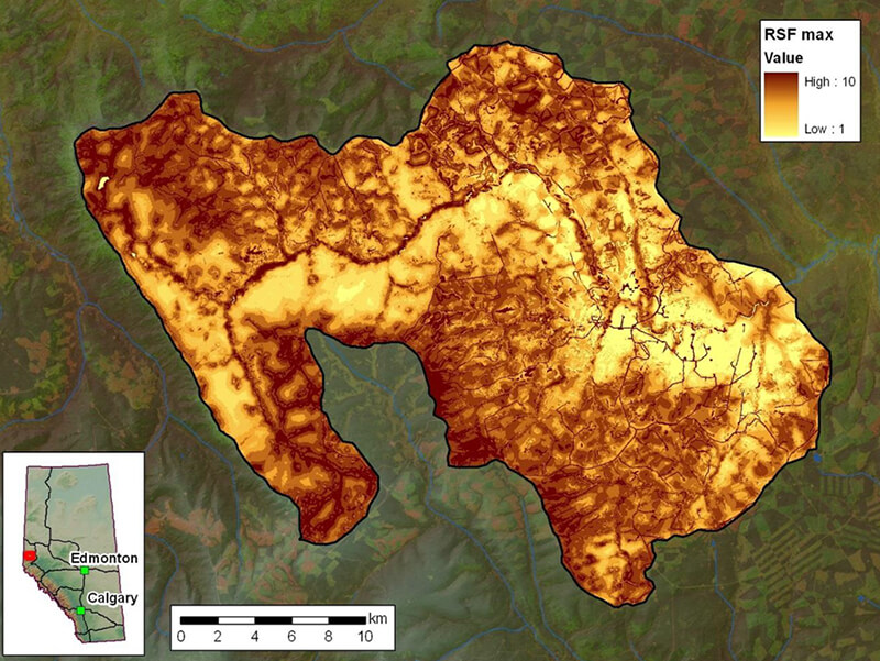
Tools can simulate the effects of development and restoration on grizzly bear mortality risk and resource selection functions.
Safe Harbour tool added.
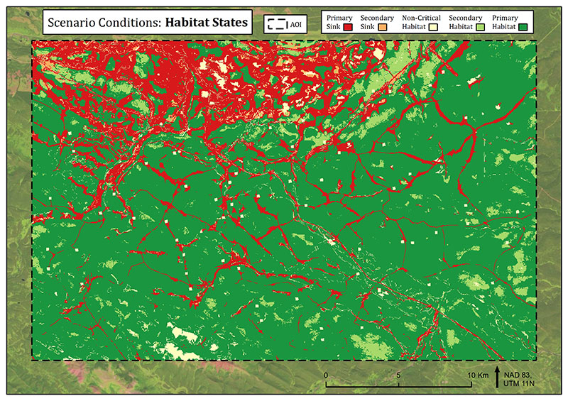
Habitat States tool added.
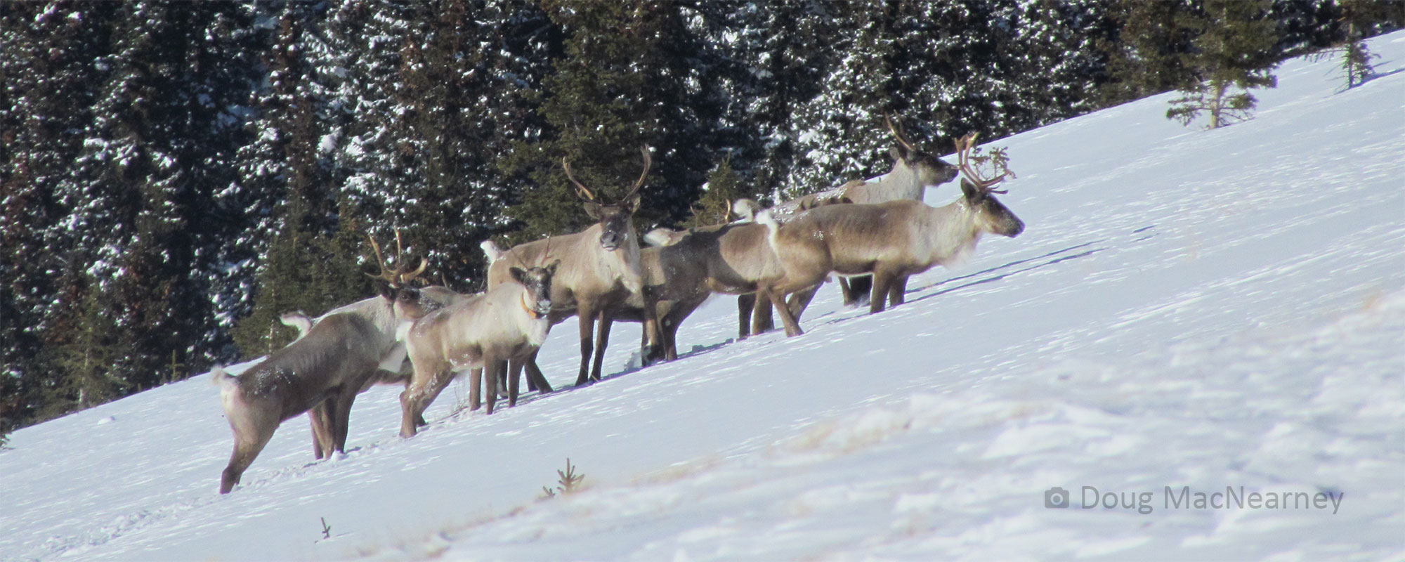
Caribou RSF, road reclamation, and sightability tools added.
Denning tool added.
Road density tool added.
The library of genetic information that we have been building since 2004 is transformed into a queryable database of all identified bears in Alberta.
Area plots and change detection tools added.
Platform transitions to ArcGIS Pro.

R